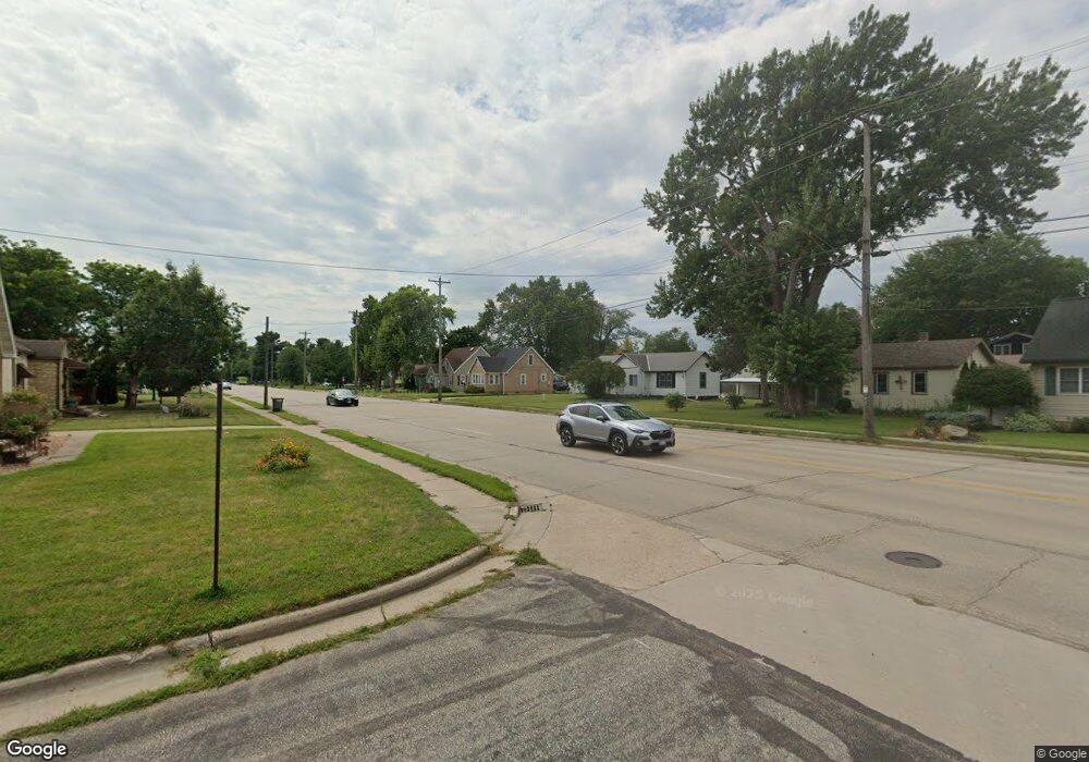
2404 Ristow Ct La Crosse, WI 54601
Estimated Value: $243,000 - $345,000
--
Bed
--
Bath
--
Sq Ft
8,276
Sq Ft Lot
About This Home
This home is located at 2404 Ristow Ct, La Crosse, WI 54601 and is currently estimated at $288,116. 2404 Ristow Ct is a home with nearby schools including Hintgen Elementary School, Longfellow Middle School, and Central High School.
Ownership History
Date
Name
Owned For
Owner Type
Purchase Details
Closed on
Jun 13, 2024
Sold by
Betz Michael F and Clausen-Betz Mari S
Bought by
Betz Michael F
Current Estimated Value
Purchase Details
Closed on
Jun 12, 2024
Sold by
Betz Michael F and Clausen-Betz Mari S
Bought by
Betz Michael F
Purchase Details
Closed on
Mar 26, 2008
Sold by
Martell Mark J and Martell Denise K
Bought by
Betz Michael F and Calusen Betz Mari S
Home Financials for this Owner
Home Financials are based on the most recent Mortgage that was taken out on this home.
Original Mortgage
$85,400
Interest Rate
6.32%
Mortgage Type
New Conventional
Create a Home Valuation Report for This Property
The Home Valuation Report is an in-depth analysis detailing your home's value as well as a comparison with similar homes in the area
Home Values in the Area
Average Home Value in this Area
Purchase History
| Date | Buyer | Sale Price | Title Company |
|---|---|---|---|
| Betz Michael F | -- | None Listed On Document | |
| Betz Michael F | -- | None Listed On Document | |
| Betz Michael F | $122,000 | None Available |
Source: Public Records
Mortgage History
| Date | Status | Borrower | Loan Amount |
|---|---|---|---|
| Previous Owner | Betz Michael F | $85,400 |
Source: Public Records
Tax History Compared to Growth
Tax History
| Year | Tax Paid | Tax Assessment Tax Assessment Total Assessment is a certain percentage of the fair market value that is determined by local assessors to be the total taxable value of land and additions on the property. | Land | Improvement |
|---|---|---|---|---|
| 2024 | $3,121 | $272,500 | $23,200 | $249,300 |
| 2023 | $3,255 | $166,300 | $23,200 | $143,100 |
| 2022 | $3,137 | $166,300 | $23,200 | $143,100 |
| 2021 | $3,411 | $166,300 | $23,200 | $143,100 |
| 2020 | $3,315 | $166,300 | $23,200 | $143,100 |
| 2019 | $3,326 | $166,300 | $23,200 | $143,100 |
| 2018 | $3,237 | $166,300 | $23,200 | $143,100 |
Source: Public Records
Map
Nearby Homes
- 3010 27th St S
- 2600 Ward Ave
- 2720 Ward Ave
- 3170 27th St S
- 2415 Losey Blvd S
- 3314 27th St S
- 2815 Robinsdale Ave
- 2612 30th St S
- 2329 23rd St S
- 3100 Lincoln Ave
- 3026 33rd St S
- 3439 East Ave S
- 3166 33rd St S
- 3316 Bayside Ct
- 3540 East Ave S Unit B
- 2933 Birch St
- 3464 Woodbridge Ct Unit 10
- 2108 Sunrise Dr
- 2511 16th St S
- 1965 28th St S
- 2406 Ristow Ct
- 2915 Losey Blvd S
- 2919 Losey Blvd S
- 2408 Ristow Ct
- 2500 Diagonal Rd
- 2504 Diagonal Rd
- 2404 Diagonal Rd
- 2400 Diagonal Rd
- 2508 Diagonal Rd
- 2924 Losey Blvd S
- 2930 Losey Blvd S
- 2961 Losey Blvd S
- 2918 Losey Blvd S
- 2512 Diagonal Rd
- 2912 Losey Blvd S
- 2938 Losey Blvd S
- 2421 Hewitt St
- 2942 Losey Blvd S
- 2904 Losey Blvd S
- 2503 Hewitt St
