24042 East Point Rd Onancock, VA 23417
Estimated Value: $424,000 - $594,000
2
Beds
2
Baths
2,189
Sq Ft
$247/Sq Ft
Est. Value
About This Home
This home is located at 24042 East Point Rd, Onancock, VA 23417 and is currently estimated at $540,234, approximately $246 per square foot. 24042 East Point Rd is a home located in Accomack County with nearby schools including Pungoteague Elementary School, Nandua Middle School, and Nandua High School.
Ownership History
Date
Name
Owned For
Owner Type
Purchase Details
Closed on
Jan 1, 2001
Bought by
Finnegan Niall B and Finnegan Deborah H
Current Estimated Value
Home Financials for this Owner
Home Financials are based on the most recent Mortgage that was taken out on this home.
Original Mortgage
$314,825
Outstanding Balance
$210,066
Interest Rate
3.75%
Mortgage Type
New Conventional
Estimated Equity
$330,168
Create a Home Valuation Report for This Property
The Home Valuation Report is an in-depth analysis detailing your home's value as well as a comparison with similar homes in the area
Home Values in the Area
Average Home Value in this Area
Purchase History
| Date | Buyer | Sale Price | Title Company |
|---|---|---|---|
| Finnegan Niall B | -- | -- |
Source: Public Records
Mortgage History
| Date | Status | Borrower | Loan Amount |
|---|---|---|---|
| Open | Finnegan Niall B | $314,825 | |
| Closed | Finnegan Niall B | $183,650 |
Source: Public Records
Tax History
| Year | Tax Paid | Tax Assessment Tax Assessment Total Assessment is a certain percentage of the fair market value that is determined by local assessors to be the total taxable value of land and additions on the property. | Land | Improvement |
|---|---|---|---|---|
| 2025 | $2,479 | $464,300 | $155,000 | $309,300 |
| 2024 | $2,247 | $464,300 | $155,000 | $309,300 |
| 2023 | $2,281 | $383,400 | $155,000 | $228,400 |
| 2022 | $2,281 | $383,400 | $155,000 | $228,400 |
| 2021 | $2,264 | $371,100 | $155,000 | $216,100 |
| 2020 | $2,264 | $371,100 | $155,000 | $216,100 |
| 2019 | $2,171 | $355,900 | $155,000 | $200,900 |
| 2018 | $2,171 | $355,900 | $155,000 | $200,900 |
| 2017 | $2,205 | $361,500 | $155,000 | $206,500 |
| 2016 | $2,205 | $361,500 | $155,000 | $206,500 |
| 2015 | $2,214 | $381,700 | $170,000 | $211,700 |
| 2014 | $2,193 | $374,500 | $170,000 | $204,500 |
| 2013 | -- | $383,800 | $170,000 | $213,800 |
Source: Public Records
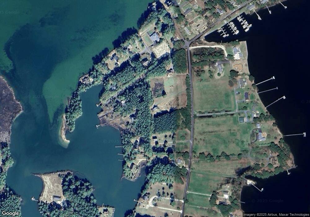
Map
Nearby Homes
- Lot 2 E Point Rd Unit 2
- 1.06AC E Point Rd
- Lot 4&5 Russell Dr Unit 4,5
- 15225 Locust St
- 24511 Tilghman Rd
- 14258 Broadway Rd
- Lot 7 Green Landing Rd Unit 7
- 16493 Hicks Ln
- 16422 Wanderers Port Ln
- LOT 5 Prince Henry Ln Unit 5
- 2.995a Plantation (Parcel B Ac) Rd
- 16410 Bowditch Rd
- LOT 19 Crockett Town Rd Unit 19
- LOT 19 Crockett Town Rd
- 26493 Evans Wharf Rd
- 00 Southside Rd Unit 1
- Lot 1 Port Scarburgh Ln Unit 1
- 26355 Mount Nebo Rd
- Lot 1&2 Barn Woods Rd Unit 1 & 2
- lot 9 Wise St Unit 9
- 15044 Locust St
- 24020 East Point Rd
- 24020 East Point Rd
- 15068 Holly St
- 15093 Holly St
- 23472 Pine St
- 15067 Holly St
- 15128 Locust St
- 24080 East Point Rd
- 24080 E Point Rd
- 15081 Holly St
- 24072 E Point Rd
- 15063 Holly St
- 15099 Holly St
- 24072 East Point Rd
- 23450 Pine St
- 15143 Locust St
- 15143 Locust St
- 15110 Russell Dr
- 24114 East Point Rd