24042 Private Road 1240 Shell Knob, MO 65747
Estimated Value: $546,000 - $850,000
Studio
--
Bath
4,063
Sq Ft
$171/Sq Ft
Est. Value
About This Home
This home is located at 24042 Private Road 1240, Shell Knob, MO 65747 and is currently estimated at $695,079, approximately $171 per square foot. 24042 Private Road 1240 is a home with nearby schools including Shell Knob Elementary School.
Ownership History
Date
Name
Owned For
Owner Type
Purchase Details
Closed on
Sep 1, 2013
Sold by
U S Department Of Agriculture Rural Hous
Bought by
Williams Stacy
Current Estimated Value
Purchase Details
Closed on
Jul 10, 2008
Sold by
Keller Richard W and Keller Janet L
Bought by
Williams Stacy and Cleveland Brett
Purchase Details
Closed on
Jun 11, 2007
Sold by
Ahl David A and Ahl Katherin L
Bought by
Keller Richard W and Janet L Keller Trust
Home Financials for this Owner
Home Financials are based on the most recent Mortgage that was taken out on this home.
Original Mortgage
$70,000
Interest Rate
6.16%
Mortgage Type
Purchase Money Mortgage
Create a Home Valuation Report for This Property
The Home Valuation Report is an in-depth analysis detailing your home's value as well as a comparison with similar homes in the area
Purchase History
| Date | Buyer | Sale Price | Title Company |
|---|---|---|---|
| Williams Stacy | -- | None Available | |
| Williams Stacy | -- | Bcat | |
| Keller Richard W | -- | None Available |
Source: Public Records
Mortgage History
| Date | Status | Borrower | Loan Amount |
|---|---|---|---|
| Previous Owner | Keller Richard W | $70,000 |
Source: Public Records
Tax History
| Year | Tax Paid | Tax Assessment Tax Assessment Total Assessment is a certain percentage of the fair market value that is determined by local assessors to be the total taxable value of land and additions on the property. | Land | Improvement |
|---|---|---|---|---|
| 2025 | $3,554 | $79,002 | $15,181 | $63,821 |
| 2024 | $36 | $73,207 | $15,181 | $58,026 |
| 2023 | $3,578 | $73,207 | $15,181 | $58,026 |
| 2022 | $3,524 | $72,105 | $14,079 | $58,026 |
| 2020 | $3,529 | $69,559 | $14,079 | $55,480 |
| 2018 | $3,476 | $69,559 | $14,079 | $55,480 |
| 2017 | $617 | $14,079 | $14,079 | $0 |
| 2016 | $634 | $14,079 | $14,079 | $0 |
| 2015 | -- | $14,079 | $14,079 | $0 |
| 2014 | -- | $14,079 | $14,079 | $0 |
| 2012 | -- | $0 | $0 | $0 |
Source: Public Records
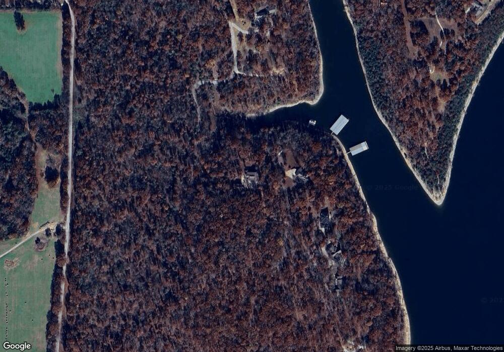
Map
Nearby Homes
- 23400 Stoney Point Cir
- Lot 1 Stoney Point Cir
- Lot 6 Stoney Point Cir
- 23403 Stoney Point Cir
- Lot 14 Stonehaven Way
- Lot 8 Stonehaven Way
- Lot 10 Stonehaven Way
- Lot 15 Stonehaven Way
- 23850 Cherry Ln
- 23805 Farm Road 1247
- 19,20,21 Turkey Mtn Estates #2
- 136 Lots Turkey Mountain Estates
- 000 Saratoga Elm
- 23079 Hickory Ln
- 000 Sunset Ln
- 227 & 228 E Mockingbird Dr
- 000 E Mockingbird Dr
- 23111 Kings Ln
- 0 Linden Ln
- 25092 Farm Road 2236
- 1512 Massachusetts Ave
- 24107 Private Road 1240
- 24189 Private Road 2238
- 24175 Private Road 2238
- 24163 Pr 2238
- 24163 Private Road 2238
- 23546 Private Road 1240
- 5910 Highway J
- Lot 1 Waterfront 1
- 23506 Pr 1240
- 0 L 41-45 Tomahawk Hills Unit 60005485
- TBD Pr 1240
- 23974 Pr 1241
- 23974 Private Road 1241
- 0 Lots 5 & 6 No Name Unit 30349925
- 24074 Mustang Ln
- 24246 Sans Souci Dr
- 23890 Violet Ln
- 24080 Mustang Ln
- 24068 Mustang Ln
Your Personal Tour Guide
Ask me questions while you tour the home.