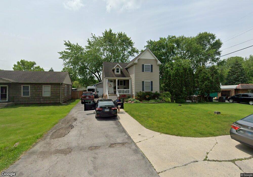
2405 187th St Lansing, IL 60438
Estimated Value: $258,000 - $338,000
3
Beds
2
Baths
1,909
Sq Ft
$153/Sq Ft
Est. Value
About This Home
This home is located at 2405 187th St, Lansing, IL 60438 and is currently estimated at $291,912, approximately $152 per square foot. 2405 187th St is a home located in Cook County with nearby schools including Nathan Hale Elementary School, Heritage Middle School, and Thornton Fractnl So High School.
Ownership History
Date
Name
Owned For
Owner Type
Purchase Details
Closed on
Jan 30, 2004
Sold by
Hensley Reid S and Hensley Shonna L
Bought by
Mickolaycka Jeffrey
Current Estimated Value
Home Financials for this Owner
Home Financials are based on the most recent Mortgage that was taken out on this home.
Original Mortgage
$117,800
Outstanding Balance
$55,746
Interest Rate
5.96%
Mortgage Type
Unknown
Estimated Equity
$236,166
Create a Home Valuation Report for This Property
The Home Valuation Report is an in-depth analysis detailing your home's value as well as a comparison with similar homes in the area
Home Values in the Area
Average Home Value in this Area
Purchase History
| Date | Buyer | Sale Price | Title Company |
|---|---|---|---|
| Mickolaycka Jeffrey | $124,000 | Multiple |
Source: Public Records
Mortgage History
| Date | Status | Borrower | Loan Amount |
|---|---|---|---|
| Open | Mickolaycka Jeffrey | $117,800 |
Source: Public Records
Tax History Compared to Growth
Tax History
| Year | Tax Paid | Tax Assessment Tax Assessment Total Assessment is a certain percentage of the fair market value that is determined by local assessors to be the total taxable value of land and additions on the property. | Land | Improvement |
|---|---|---|---|---|
| 2024 | $7,531 | $20,969 | $1,381 | $19,588 |
| 2023 | $7,538 | $20,969 | $1,381 | $19,588 |
| 2022 | $7,538 | $16,261 | $2,590 | $13,671 |
| 2021 | $7,317 | $16,260 | $2,589 | $13,671 |
| 2020 | $6,968 | $16,260 | $2,589 | $13,671 |
| 2019 | $7,847 | $18,607 | $2,417 | $16,190 |
| 2018 | $7,629 | $18,607 | $2,417 | $16,190 |
| 2017 | $7,499 | $18,607 | $2,417 | $16,190 |
| 2016 | $6,174 | $15,379 | $2,244 | $13,135 |
| 2015 | $5,926 | $15,379 | $2,244 | $13,135 |
| 2014 | $5,813 | $15,379 | $2,244 | $13,135 |
| 2013 | $6,211 | $17,716 | $2,244 | $15,472 |
Source: Public Records
Map
Nearby Homes
- 18730 Oak Ave
- 18518 Glen Oak Ave
- 2345 185th Ct Unit 25
- 2345 185th Ct Unit 1
- 18508 Torrence Ave
- 18503 Arcadia Ave
- 18446 Glen Oak Ave
- 2608 186th St Unit 105
- 18560 Escanaba Ave Unit 211
- 18429 Arcadia Ave
- 18340 Glen Oak Ave Unit 1D
- 18318 Exchange Ave Unit 1B
- 18964 Wildwood Ave
- 18307 Locust St
- 18309 Bock Rd
- 2916 189th St
- 18443 De Jong Ln
- 18452 Oakwood Ave
- 2296 182nd Place
- 2290 182nd Place
- 2411 187th St
- 18705 Torrence Ave
- 18715 Torrence Ave
- 2412 187th Place
- 2416 187th Place
- 2421 187th St
- 18723 Torrence Ave
- 2416 187th St
- 18651 Torrence Ave
- 2424 187th Place
- 2418 187th St
- 2427 187th St
- 2428 187th St
- 2430 187th Place
- 18641 Torrence Ave
- 2434 187th St
- 2433 187th St
- 18733 Torrence Ave
- 2417 187th Place
- 2438 187th Place