2405 Morrene Dr Placerville, CA 95667
Estimated Value: $441,000 - $458,000
3
Beds
2
Baths
1,313
Sq Ft
$340/Sq Ft
Est. Value
About This Home
This home is located at 2405 Morrene Dr, Placerville, CA 95667 and is currently estimated at $445,865, approximately $339 per square foot. 2405 Morrene Dr is a home located in El Dorado County with nearby schools including El Dorado High School and El Dorado Adventist School.
Ownership History
Date
Name
Owned For
Owner Type
Purchase Details
Closed on
Sep 28, 2017
Sold by
Skinner Jennifer
Bought by
Mccrea Ryan John and Lane Danielle Nicole
Current Estimated Value
Home Financials for this Owner
Home Financials are based on the most recent Mortgage that was taken out on this home.
Original Mortgage
$338,751
Outstanding Balance
$283,482
Interest Rate
3.89%
Mortgage Type
FHA
Estimated Equity
$162,383
Create a Home Valuation Report for This Property
The Home Valuation Report is an in-depth analysis detailing your home's value as well as a comparison with similar homes in the area
Home Values in the Area
Average Home Value in this Area
Purchase History
| Date | Buyer | Sale Price | Title Company |
|---|---|---|---|
| Mccrea Ryan John | $345,000 | First American Title Company |
Source: Public Records
Mortgage History
| Date | Status | Borrower | Loan Amount |
|---|---|---|---|
| Open | Mccrea Ryan John | $338,751 |
Source: Public Records
Tax History
| Year | Tax Paid | Tax Assessment Tax Assessment Total Assessment is a certain percentage of the fair market value that is determined by local assessors to be the total taxable value of land and additions on the property. | Land | Improvement |
|---|---|---|---|---|
| 2025 | $4,069 | $392,547 | $142,226 | $250,321 |
| 2024 | $4,069 | $384,851 | $139,438 | $245,413 |
| 2023 | $4,022 | $377,305 | $136,704 | $240,601 |
| 2022 | $3,965 | $369,908 | $134,024 | $235,884 |
| 2021 | $3,920 | $362,656 | $131,397 | $231,259 |
| 2020 | $3,862 | $358,938 | $130,050 | $228,888 |
| 2019 | $3,815 | $351,900 | $127,500 | $224,400 |
| 2018 | $3,701 | $345,000 | $125,000 | $220,000 |
| 2017 | $860 | $76,617 | $9,526 | $67,091 |
| 2016 | $772 | $75,116 | $9,340 | $65,776 |
| 2015 | $736 | $73,989 | $9,200 | $64,789 |
| 2014 | $736 | $72,542 | $9,021 | $63,521 |
Source: Public Records
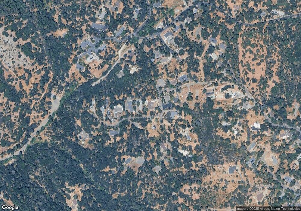
Map
Nearby Homes
- 1008 Utah Dr
- 1012 Utah Dr
- 1017 Utah Dr
- 2624 Liberty Mine Ct
- 1002 Utah Dr
- 1000 Utah Dr
- 945 Crawford Drift Ct
- 944 Crawford Drift Ct
- 2603 Kereka Ct
- 2095 Wild Goose Canyon Rd
- 2532 Golden Eagle Dr
- 2655 Mona Dr
- 2725 Clay St
- 2940 Anderson Way
- 918 Woodpecker Ct
- 2921 Miller Way
- 9425 Mosquito Rd
- 885 Hillcrest St
- 2816 Holly Ct
- 1344 Village Ln
- 2424 Morrene Dr
- 2390 Big Canyon Creek Rd
- 2371 Big Canyon Creek Rd
- 2370 Big Canyon Creek Rd
- 2396 Morrene Dr
- 2425 Morrene Dr
- 2430 Morrene Dr
- 2363 Big Canyon Creek Rd
- 2431 Morrene Dr
- 2434 Morrene Dr
- 2277 Big Canyon Creek Rd
- 2345 Big Canyon Creek Rd
- 2380 Morrene Dr
- 2351 Morrene Dr
- 2435 Morrene Dr
- 2283 Big Canyon Creek Rd
- 2350 Big Canyon Creek Rd
- 2408 Patton Ct
- 2402 Patton Ct
- 0 Big Canyon Creek Rd
Your Personal Tour Guide
Ask me questions while you tour the home.