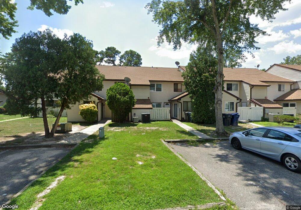
2405 Primrose Ct Mays Landing, NJ 08330
Estimated Value: $181,000 - $201,000
--
Bed
--
Bath
1,268
Sq Ft
$150/Sq Ft
Est. Value
About This Home
This home is located at 2405 Primrose Ct, Mays Landing, NJ 08330 and is currently estimated at $190,408, approximately $150 per square foot. 2405 Primrose Ct is a home located in Atlantic County with nearby schools including George L. Hess Educational Complex, Joseph Shaner School, and William Davies Middle School.
Ownership History
Date
Name
Owned For
Owner Type
Purchase Details
Closed on
Apr 13, 2004
Sold by
Carnes Ricky M and Carnes Sharon
Bought by
Scott Angela M
Current Estimated Value
Home Financials for this Owner
Home Financials are based on the most recent Mortgage that was taken out on this home.
Original Mortgage
$86,020
Outstanding Balance
$39,631
Interest Rate
5.36%
Mortgage Type
FHA
Estimated Equity
$150,777
Purchase Details
Closed on
Nov 17, 2003
Sold by
Carnes Ricky M and Carnes Sharon
Bought by
Carnes Ricky M and Carnes Sharon
Home Financials for this Owner
Home Financials are based on the most recent Mortgage that was taken out on this home.
Original Mortgage
$69,600
Interest Rate
5.98%
Mortgage Type
New Conventional
Purchase Details
Closed on
Oct 26, 2000
Sold by
Greenberg Traci Hill and Greenberg Adam Shawn
Bought by
Carnes Sharon
Create a Home Valuation Report for This Property
The Home Valuation Report is an in-depth analysis detailing your home's value as well as a comparison with similar homes in the area
Home Values in the Area
Average Home Value in this Area
Purchase History
| Date | Buyer | Sale Price | Title Company |
|---|---|---|---|
| Scott Angela M | $88,000 | Commonwealth Title | |
| Carnes Ricky M | -- | -- | |
| Carnes Sharon | -- | -- |
Source: Public Records
Mortgage History
| Date | Status | Borrower | Loan Amount |
|---|---|---|---|
| Open | Scott Angela M | $86,020 | |
| Previous Owner | Carnes Ricky M | $69,600 |
Source: Public Records
Tax History Compared to Growth
Tax History
| Year | Tax Paid | Tax Assessment Tax Assessment Total Assessment is a certain percentage of the fair market value that is determined by local assessors to be the total taxable value of land and additions on the property. | Land | Improvement |
|---|---|---|---|---|
| 2025 | $1,894 | $75,600 | $25,000 | $50,600 |
| 2024 | $1,894 | $55,200 | $10,000 | $45,200 |
| 2023 | $1,781 | $55,200 | $10,000 | $45,200 |
| 2022 | $1,781 | $55,200 | $10,000 | $45,200 |
| 2021 | $1,616 | $50,200 | $5,000 | $45,200 |
| 2020 | $1,616 | $50,200 | $5,000 | $45,200 |
| 2019 | $1,620 | $50,200 | $5,000 | $45,200 |
| 2018 | $1,563 | $50,200 | $5,000 | $45,200 |
| 2017 | $1,539 | $50,200 | $5,000 | $45,200 |
| 2016 | $1,495 | $50,200 | $5,000 | $45,200 |
| 2015 | $1,445 | $50,200 | $5,000 | $45,200 |
| 2014 | $1,495 | $56,900 | $7,000 | $49,900 |
Source: Public Records
Map
Nearby Homes
- 2340 Primrose Ct
- 2501 Oleander Ct Unit 3412
- 2418 Primrose Ct
- 2626 Nutmeg Ct Unit 385
- 2127 Rhododendron Ct Unit 25
- 2123 Rhododendron Ct Unit 57B
- 2614 Dogwood Ct Unit 2614
- 2723 Mimosa Ct
- 2725 Mimosa Ct
- 2728 Mimosa Ct Unit 445
- 2731 Mimosa Ct
- 2904 Woodlands Dr
- 2818 Hawthorn Ct Unit 2818
- 3017 Ivy Bush Ct Unit 3017
- 3054 Ivy Bush Ct Unit 515
- 3110 Woodlands Dr
- 3137 Woodlands Dr Unit 3137
- 3514 Woodlands Dr Unit 51
- 4455 Yorktown Place Unit 28
- 4505 Concord Place Unit K86
- 2342 Primrose Ct Unit 315
- 2404 Primrose Ct
- 2406 Primrose Ct
- 2343 Primrose Ct Unit 314
- 2341 Primrose Ct
- 2341 Primrose Ct Unit 2341
- 2341 Primrose Ct Unit 25
- 2403 Primrose Ct Unit 3112
- 2344 Primrose Ct Unit 313
- 2339 Primrose Ct
- 2402 Primrose Ct Unit 312
- 2401 Primrose Ct Unit 311
- 2331 Primrose Ct Unit 328
- 2335 Primrose Ct Unit 324
- 2334 Primrose Ct Unit 325
- 2332 Primrose Ct
- 2333 Primrose Ct
- 2336 Primrose Ct Unit 323
- 2337 Primrose Ct
- 2413 Primrose Ct Unit 346