24052 SW Baker Rd Sherwood, OR 97140
Estimated Value: $1,375,051 - $1,850,000
3
Beds
2
Baths
3,851
Sq Ft
$405/Sq Ft
Est. Value
About This Home
This home is located at 24052 SW Baker Rd, Sherwood, OR 97140 and is currently estimated at $1,560,017, approximately $405 per square foot. 24052 SW Baker Rd is a home located in Clackamas County with nearby schools including Hawks View Elementary School, Sherwood Middle School, and Sherwood High School.
Ownership History
Date
Name
Owned For
Owner Type
Purchase Details
Closed on
Jul 29, 2024
Sold by
Green David W
Bought by
David W Green And Elizabeth Carol Green Trust and Green
Current Estimated Value
Purchase Details
Closed on
Jan 31, 2003
Sold by
Green David W and Green Elizabeth Carol
Bought by
Green David W and Green Elizabeth Carol
Home Financials for this Owner
Home Financials are based on the most recent Mortgage that was taken out on this home.
Original Mortgage
$172,000
Interest Rate
5.83%
Mortgage Type
Purchase Money Mortgage
Purchase Details
Closed on
Sep 20, 2001
Sold by
Green David W and Green Elizabeth Carol
Bought by
Green David W and Green Elizabeth Carol
Create a Home Valuation Report for This Property
The Home Valuation Report is an in-depth analysis detailing your home's value as well as a comparison with similar homes in the area
Home Values in the Area
Average Home Value in this Area
Purchase History
| Date | Buyer | Sale Price | Title Company |
|---|---|---|---|
| David W Green And Elizabeth Carol Green Trust | -- | None Listed On Document | |
| Green David W | -- | First Amer Title Ins Co Of O | |
| Green David W | -- | -- |
Source: Public Records
Mortgage History
| Date | Status | Borrower | Loan Amount |
|---|---|---|---|
| Previous Owner | Green David W | $172,000 |
Source: Public Records
Tax History Compared to Growth
Tax History
| Year | Tax Paid | Tax Assessment Tax Assessment Total Assessment is a certain percentage of the fair market value that is determined by local assessors to be the total taxable value of land and additions on the property. | Land | Improvement |
|---|---|---|---|---|
| 2024 | $7,486 | $446,095 | -- | -- |
| 2023 | $7,486 | $433,103 | $0 | $0 |
| 2022 | $6,456 | $420,487 | $0 | $0 |
| 2021 | $6,304 | $408,237 | $0 | $0 |
| 2020 | $6,171 | $396,346 | $0 | $0 |
| 2019 | $6,031 | $384,804 | $0 | $0 |
| 2018 | $5,924 | $373,601 | $0 | $0 |
| 2017 | $5,819 | $362,717 | $0 | $0 |
| 2016 | $5,457 | $352,153 | $0 | $0 |
| 2015 | $5,252 | $341,895 | $0 | $0 |
| 2014 | $5,110 | $331,939 | $0 | $0 |
Source: Public Records
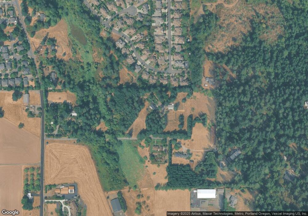
Map
Nearby Homes
- 23680 SW Robson Terrace
- 24400 SW Baker Rd
- 23141 SW Curry Ridge Dr
- 23157 SW Curry Ridge Dr
- 23067 SW Curry Ridge Dr
- 23037 SW Curry Ridge Dr
- 23072 SW Mansfield St
- 14300 SW Fairoaks Dr
- 15379 SW Sunset Blvd
- 23861 SW Dewberry Place
- 23484 SW Pine St
- 14614 SW Willamette St
- 15659 SW Hawk Ct
- 15781 SW Highpoint Dr
- 0 Bell and Baker Rd
- 22487 SW Meissinger Place
- 22754 SW Martin Ct
- 15925 SW Highpoint Dr
- 22805 SW Highland Dr
- 22754 SW Highland Dr
- 14122 SW Mckinley Dr
- 14110 SW Mckinley Dr
- 14146 SW Mckinley Dr
- 14080 SW Mckinley Dr
- 14058 SW Mckinley Dr
- 24346 SW Baker Rd
- 14154 SW Mckinley Dr
- 14154 SW Mckinley Dr Unit 41
- 14141 SW Mckinley Dr
- 23890 SW Robson Terrace Unit 35
- 14186 SW Mckinley Dr
- 14163 SW Mckinley Dr
- 23878 SW Robson Terrace
- 23855 SW Robson Terrace Unit 47
- 23855 SW Robson Terrace
- 23855 Robson Terrace Lot47 Unit 47
- 14200 SW Mckinley Dr
- 14191 SW Mckinley Dr Unit 74
- 14191 SW Mckinley Dr
- 23846 SW Robson Terrace