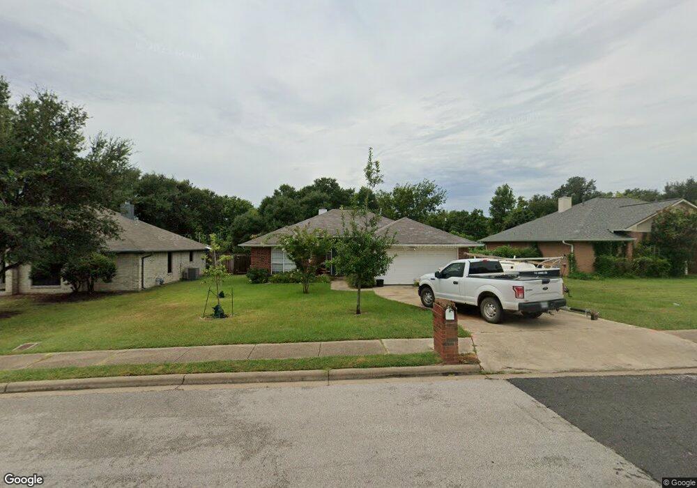
2406 Colgate Cir College Station, TX 77840
Wolf Pen Creek District NeighborhoodEstimated Value: $268,000 - $292,000
3
Beds
2
Baths
1,579
Sq Ft
$178/Sq Ft
Est. Value
About This Home
This home is located at 2406 Colgate Cir, College Station, TX 77840 and is currently estimated at $281,427, approximately $178 per square foot. 2406 Colgate Cir is a home located in Brazos County with nearby schools including College Hills Elementary School, A&M Consolidated Middle School, and Oakwood Intermediate School.
Ownership History
Date
Name
Owned For
Owner Type
Purchase Details
Closed on
Aug 26, 2009
Sold by
Mayes William K and Mayes Cheryl L
Bought by
Horrocks John and Horrocks Holly
Current Estimated Value
Home Financials for this Owner
Home Financials are based on the most recent Mortgage that was taken out on this home.
Original Mortgage
$124,080
Interest Rate
5.16%
Mortgage Type
New Conventional
Create a Home Valuation Report for This Property
The Home Valuation Report is an in-depth analysis detailing your home's value as well as a comparison with similar homes in the area
Home Values in the Area
Average Home Value in this Area
Purchase History
| Date | Buyer | Sale Price | Title Company |
|---|---|---|---|
| Horrocks John | -- | University Title Company |
Source: Public Records
Mortgage History
| Date | Status | Borrower | Loan Amount |
|---|---|---|---|
| Closed | Horrocks John | $124,080 |
Source: Public Records
Tax History Compared to Growth
Tax History
| Year | Tax Paid | Tax Assessment Tax Assessment Total Assessment is a certain percentage of the fair market value that is determined by local assessors to be the total taxable value of land and additions on the property. | Land | Improvement |
|---|---|---|---|---|
| 2025 | $5,790 | $271,534 | $123,411 | $148,123 |
| 2024 | $5,790 | $303,838 | $111,999 | $191,839 |
| 2023 | $5,790 | $282,643 | $103,241 | $179,402 |
| 2022 | $4,618 | $216,614 | $93,952 | $122,662 |
| 2021 | $4,456 | $197,298 | $93,952 | $103,346 |
| 2020 | $4,403 | $193,887 | $78,691 | $115,196 |
| 2019 | $4,368 | $184,860 | $78,690 | $106,170 |
| 2018 | $4,118 | $173,000 | $68,740 | $104,260 |
| 2017 | $4,385 | $186,330 | $68,740 | $117,590 |
| 2016 | $4,370 | $185,670 | $56,930 | $128,740 |
| 2015 | $3,729 | $166,860 | $56,930 | $109,930 |
| 2014 | $3,729 | $160,920 | $56,800 | $104,120 |
Source: Public Records
Map
Nearby Homes
- 400 Princeton Cir
- 2348 Autumn Chase Loop Unit A-D
- 212 Yale Ct
- 310 Manuel Dr Unit AD
- 2303 Carnation Ct
- 200 Yale Cir
- 206 Sterling St
- 204 Richards St
- 202 Richards St Unit A
- 202 Richards St Unit B
- 117 Sterling St
- 903 Azalea Ct Unit AB
- 902 Azalea Ct
- 293 Estates Cir
- 106 A Sterling St
- 102 Sterling St Unit A
- 269 Estates Cir
- 100 Sterling St
- 102 A & 100 Sterling St
- 305 Holleman Dr E Unit 1503
- 2404 Colgate Cir
- 2402 Colgate Cir
- 2311 Auburn Ct
- 2313 Auburn Ct
- 2309 Auburn Ct
- 2315 Auburn Ct
- 2407 Colgate Cir
- 2307 Auburn Ct
- 2405 Colgate Cir
- 404 Princeton Cir
- 406 Princeton Cir
- 2305 Auburn Ct
- 2403 Colgate Cir
- 324 Brentwood Dr E
- 312 Brentwood Dr E
- 320 Brentwood Dr E
- 402 Princeton Cir
- 310 Brentwood Dr E
- 316 Brentwood Dr E
- 401 Brentwood Dr E