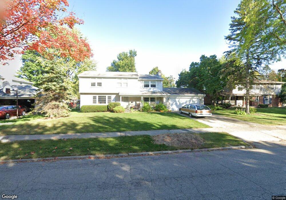
2406 Newport Dr Lansing, MI 48906
Northwestside NeighborhoodEstimated Value: $276,108 - $325,000
--
Bed
2
Baths
2,304
Sq Ft
$130/Sq Ft
Est. Value
About This Home
This home is located at 2406 Newport Dr, Lansing, MI 48906 and is currently estimated at $300,527, approximately $130 per square foot. 2406 Newport Dr is a home located in Ingham County with nearby schools including Cumberland Elementary School, Pattengill Academy, and J.W. Sexton High School.
Ownership History
Date
Name
Owned For
Owner Type
Purchase Details
Closed on
Jul 31, 2017
Sold by
Marshall Michael D and Marshall Roger L
Bought by
Marshall Roger L
Current Estimated Value
Purchase Details
Closed on
Apr 21, 2017
Sold by
Marshall Roger L
Bought by
Marshall Roger L and The Roger L Marshall Living Trust
Purchase Details
Closed on
Nov 13, 2002
Sold by
Marshall Don L and Marshall Alida
Bought by
Marshall Don L and Marshall Alida
Create a Home Valuation Report for This Property
The Home Valuation Report is an in-depth analysis detailing your home's value as well as a comparison with similar homes in the area
Home Values in the Area
Average Home Value in this Area
Purchase History
| Date | Buyer | Sale Price | Title Company |
|---|---|---|---|
| Marshall Roger L | -- | None Available | |
| Marshall Roger L | -- | None Available | |
| Marshall Roger L | -- | None Available | |
| Marshall Don L | -- | None Available |
Source: Public Records
Tax History Compared to Growth
Tax History
| Year | Tax Paid | Tax Assessment Tax Assessment Total Assessment is a certain percentage of the fair market value that is determined by local assessors to be the total taxable value of land and additions on the property. | Land | Improvement |
|---|---|---|---|---|
| 2025 | $4,596 | $159,500 | $16,000 | $143,500 |
| 2024 | $37 | $134,700 | $16,000 | $118,700 |
| 2023 | $4,307 | $115,100 | $16,000 | $99,100 |
| 2022 | $3,878 | $102,300 | $13,300 | $89,000 |
| 2021 | $3,797 | $94,600 | $10,300 | $84,300 |
| 2020 | $3,774 | $90,100 | $10,300 | $79,800 |
| 2019 | $3,621 | $84,600 | $10,300 | $74,300 |
| 2018 | $4,451 | $74,100 | $10,300 | $63,800 |
| 2017 | $3,246 | $74,100 | $10,300 | $63,800 |
| 2016 | $3,104 | $63,500 | $10,300 | $53,200 |
| 2015 | $3,104 | $58,200 | $20,516 | $37,684 |
| 2014 | $3,104 | $55,900 | $28,722 | $27,178 |
Source: Public Records
Map
Nearby Homes
- 2515 Kuerbitz Dr
- 2524 Newport Dr
- 3500 Colchester Rd
- 2400 Beacon Hill Dr
- 3116 Colchester Rd
- 3314 Sunnylane
- 3733 Colchester Rd
- 3016 Westmont Ave
- 1649 Boynton Dr
- 3031 Amherst Dr
- 2400 Leon Ave
- 3709 Pino Dr
- 2921 Tecumseh River Rd
- 2722 Tecumseh River Rd
- 3515 Wilson Ave
- 1610 Ravenswood Dr
- 2316 Barstow Rd
- 3319 Westmont Ave
- 3212 Belgian Dr
- 3331 Pickwick Place
- 2414 Newport Dr
- 3327 Cambrey Dr
- 2402 Newport Dr
- 2319 Kuerbitz Dr
- 2420 Newport Dr
- 2313 Kuerbitz Dr
- 2405 Kuerbitz Dr
- 3400 Cambrey Dr
- 3335 Cambrey Dr
- 2415 Newport Dr
- 2305 Kuerbitz Dr
- 2413 Kuerbitz Dr
- 3323 Colchester Rd
- 3401 Cambrey Dr
- 2423 Newport Dr
- 3311 Colchester Rd
- 3409 Cambrey Dr
- 3418 Cambrey Dr
- 3405 Colchester Rd