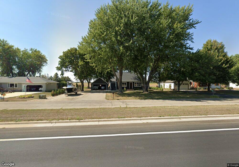
24067 540th Ave Austin, MN 55912
Estimated Value: $178,000 - $272,000
2
Beds
3
Baths
1,335
Sq Ft
$174/Sq Ft
Est. Value
About This Home
This home is located at 24067 540th Ave, Austin, MN 55912 and is currently estimated at $232,587, approximately $174 per square foot. 24067 540th Ave is a home with nearby schools including Sumner Elementary School, Ellis Middle School, and I.J. Holton Intermediate School.
Ownership History
Date
Name
Owned For
Owner Type
Purchase Details
Closed on
Jun 23, 2005
Sold by
Branum Ethel A
Bought by
Oldfather Michael D
Current Estimated Value
Home Financials for this Owner
Home Financials are based on the most recent Mortgage that was taken out on this home.
Original Mortgage
$104,854
Outstanding Balance
$55,127
Interest Rate
5.87%
Mortgage Type
FHA
Estimated Equity
$177,460
Create a Home Valuation Report for This Property
The Home Valuation Report is an in-depth analysis detailing your home's value as well as a comparison with similar homes in the area
Home Values in the Area
Average Home Value in this Area
Purchase History
| Date | Buyer | Sale Price | Title Company |
|---|---|---|---|
| Oldfather Michael D | $106,500 | None Available |
Source: Public Records
Mortgage History
| Date | Status | Borrower | Loan Amount |
|---|---|---|---|
| Open | Oldfather Michael D | $104,854 |
Source: Public Records
Tax History
| Year | Tax Paid | Tax Assessment Tax Assessment Total Assessment is a certain percentage of the fair market value that is determined by local assessors to be the total taxable value of land and additions on the property. | Land | Improvement |
|---|---|---|---|---|
| 2025 | $1,406 | $209,600 | $30,000 | $179,600 |
| 2024 | $1,406 | $172,100 | $20,000 | $152,100 |
| 2023 | $1,404 | $170,700 | $20,000 | $150,700 |
| 2022 | $1,364 | $158,300 | $20,000 | $138,300 |
| 2021 | $1,306 | $147,600 | $45,000 | $102,600 |
| 2020 | $1,378 | $140,800 | $32,000 | $108,800 |
| 2018 | $420 | $141,300 | $32,000 | $109,300 |
| 2017 | $840 | $0 | $0 | $0 |
| 2016 | $776 | $0 | $0 | $0 |
| 2015 | $1,214 | $0 | $0 | $0 |
| 2012 | $1,214 | $0 | $0 | $0 |
Source: Public Records
Map
Nearby Homes
- 700 38th Ave NE
- 1401 30th Ave NE
- 211 Clinton St
- 2301 10th St NW Unit 112
- 1200 18th Ave NW Unit 111
- 1200 18th Ave NW Unit 118
- 1200 18th Ave NW Unit 113
- 25397 U S 218
- 1000 13th Ave NE
- 1801 13th Ave NE
- 25435 555th Ave
- 1306 18th St NE
- 1107 10th St NW
- 907 1st Dr NW
- 1300 18th Dr NE
- 1403 11th Ave NW
- 800 1st Dr NW Unit 102
- TBD NW 10th St
- 24826 560th Ave
- 1309 18th St NE
- 24087 540th Ave
- 24051 540th Ave
- 24109 540th Ave
- 24137 540th Ave
- 501 32nd Ave NE
- 24001 540th Ave
- 54051 241st St
- 54051 241st St
- 24153 540th Ave
- 500 32nd Ave NE
- 23969 540th Ave
- 24167 540th Ave
- 3500 4th St NE
- 503 32nd Ave NE
- 502 32nd Ave NE
- 3104 4th St NE
- TBD 542nd Ave
- 3301 6th St NE
- 3403 6th St NE
- 501 30th Ave NE
Your Personal Tour Guide
Ask me questions while you tour the home.