2407 Brookfield Dr Unit 1 Grover, NC 28073
Estimated Value: $204,769 - $251,000
--
Bed
--
Bath
1,512
Sq Ft
$153/Sq Ft
Est. Value
About This Home
This home is located at 2407 Brookfield Dr Unit 1, Grover, NC 28073 and is currently estimated at $230,590, approximately $152 per square foot. 2407 Brookfield Dr Unit 1 is a home located in Cleveland County with nearby schools including Township Three Elementary School, Crest Middle School, and Crest High School.
Ownership History
Date
Name
Owned For
Owner Type
Purchase Details
Closed on
Oct 4, 2019
Sold by
Ellis Rebecca and Ellis Michael
Bought by
Ellis Rebecca and Ellis Michael
Current Estimated Value
Create a Home Valuation Report for This Property
The Home Valuation Report is an in-depth analysis detailing your home's value as well as a comparison with similar homes in the area
Home Values in the Area
Average Home Value in this Area
Purchase History
| Date | Buyer | Sale Price | Title Company |
|---|---|---|---|
| Ellis Rebecca | -- | None Available | |
| Williams Donnie L | $40,000 | None Available | |
| Ellis Rebecca | -- | None Available |
Source: Public Records
Tax History Compared to Growth
Tax History
| Year | Tax Paid | Tax Assessment Tax Assessment Total Assessment is a certain percentage of the fair market value that is determined by local assessors to be the total taxable value of land and additions on the property. | Land | Improvement |
|---|---|---|---|---|
| 2025 | $1,295 | $203,904 | $27,461 | $176,443 |
| 2024 | $1,058 | $122,950 | $21,893 | $101,057 |
| 2023 | $768 | $119,489 | $21,893 | $97,596 |
| 2022 | $1,025 | $119,489 | $21,893 | $97,596 |
| 2021 | $1,028 | $119,489 | $21,893 | $97,596 |
| 2020 | $885 | $98,016 | $20,181 | $77,835 |
| 2019 | $517 | $101,642 | $23,807 | $77,835 |
| 2018 | $514 | $101,642 | $23,807 | $77,835 |
| 2017 | $512 | $101,642 | $23,807 | $77,835 |
| 2016 | $489 | $101,642 | $23,807 | $77,835 |
| 2015 | $504 | $106,470 | $22,653 | $83,817 |
| 2014 | $504 | $106,470 | $22,653 | $83,817 |
Source: Public Records
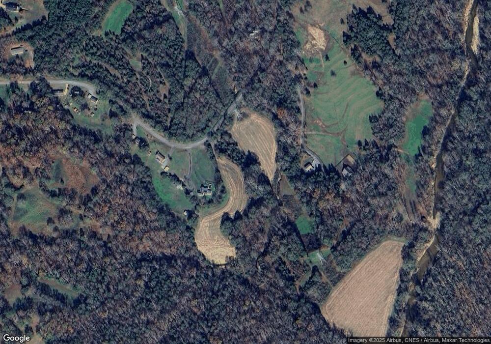
Map
Nearby Homes
- 100 Ponder Rd
- 112 Jenny Dr
- 213 Pinewood Dr
- 0 Pinewood Dr
- 2357 Pleasant Hill Church Rd
- 2036 Biggers Lake Rd
- 235 Roseborough Rd
- 00 Bunny Run
- 1915 Pleasant Hill Church Rd
- 2344 Joes Lake Rd
- 5115 Circle Dr
- 5409 Canterbury Rd
- 117 Remington Dr
- 1414 S Post Rd
- 2126 Amesbury Dr
- 1821 Beaman St
- Holly Plan at Rhyne Court
- Alpine Plan at Rhyne Court
- Willow Plan at Rhyne Court
- Cedar Plan at Rhyne Court
- 2407 Brookfield Dr
- 2415 Brookfield Dr
- 2425 Brookfield Dr
- 2429 Brookfield Dr
- 2346 Brookfield Dr
- 2435 Brookfield Dr
- 2432 Brookfield Dr
- 2439 Brookfield Dr
- 2347 Brookfield Dr
- 2442 Brookfield Dr
- 2453 Brookfield Dr
- 2451 Brookfield Dr
- 133 Ponder Rd
- 2334 Brookfield Dr
- 144 Ponder Rd
- 102 Ponder Ct
- 119 Ponder Rd
- 2457 Brookfield Dr
- 140 Ponder Rd
- 105 Ponder Ct