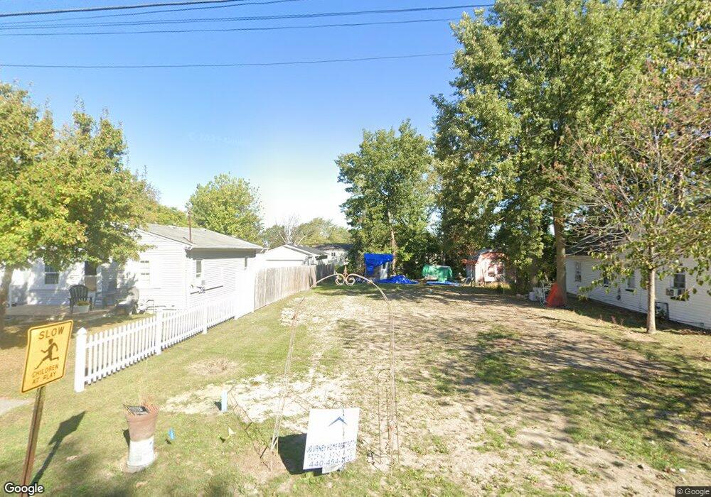
2407 Frankfort St Lorain, OH 44055
Estimated Value: $70,319 - $98,000
2
Beds
1
Bath
600
Sq Ft
$146/Sq Ft
Est. Value
About This Home
This home is located at 2407 Frankfort St, Lorain, OH 44055 and is currently estimated at $87,330, approximately $145 per square foot. 2407 Frankfort St is a home located in Lorain County with nearby schools including Vincent Elementary School, Durling Middle School, and Clearview High School.
Ownership History
Date
Name
Owned For
Owner Type
Purchase Details
Closed on
Dec 22, 2015
Sold by
Adams Nina
Bought by
Sullivan Carl and Sullivan Elizabeth
Current Estimated Value
Purchase Details
Closed on
Sep 28, 1998
Sold by
Estate Of Willard Adams
Bought by
Adams Nina
Create a Home Valuation Report for This Property
The Home Valuation Report is an in-depth analysis detailing your home's value as well as a comparison with similar homes in the area
Home Values in the Area
Average Home Value in this Area
Purchase History
| Date | Buyer | Sale Price | Title Company |
|---|---|---|---|
| Sullivan Carl | $5,000 | None Available | |
| Adams Nina | -- | -- |
Source: Public Records
Tax History Compared to Growth
Tax History
| Year | Tax Paid | Tax Assessment Tax Assessment Total Assessment is a certain percentage of the fair market value that is determined by local assessors to be the total taxable value of land and additions on the property. | Land | Improvement |
|---|---|---|---|---|
| 2024 | $738 | $16,090 | $4,074 | $12,016 |
| 2023 | $420 | $6,927 | $2,947 | $3,980 |
| 2022 | $429 | $6,927 | $2,947 | $3,980 |
| 2021 | $445 | $6,927 | $2,947 | $3,980 |
| 2020 | $410 | $6,050 | $2,570 | $3,480 |
| 2019 | $408 | $6,050 | $2,570 | $3,480 |
| 2018 | $409 | $6,050 | $2,570 | $3,480 |
| 2017 | $499 | $6,870 | $1,760 | $5,110 |
| 2016 | $503 | $6,870 | $1,760 | $5,110 |
| 2015 | $491 | $6,870 | $1,760 | $5,110 |
| 2014 | $19 | $7,220 | $1,850 | $5,370 |
| 2013 | $18 | $7,220 | $1,850 | $5,370 |
Source: Public Records
Map
Nearby Homes
- 0 Vincent Ave
- 5278 Farr Ave
- 5193 Liberty Ave
- 4651 Camden Ave
- VL Ridgewood St
- 4543 Norfolk Ave
- V/L Rear Land Unit 1
- V/L Rear Land Unit 2
- V/L Eschtruth St
- V/L Grove Ave
- 3934 Gary Ave
- 2315 Homewood Dr
- 2456 E 37th St
- 2323 Homewood Dr
- 2374 E 37th St
- 3690 Gary Ave
- 5877 Ford Rd
- 2046 Homewood Dr
- 147 Stoney Brook Dr
- 206 Stoney Brook Dr
- 2417 Frankfort St
- 2439 Frankfort St
- 2439 Frankford St
- 2403 Frankfort St
- 2422 Packard Dr
- 2393 Frankfort St
- 4917 Bond Ave
- 2416 Packard Dr
- 2430 Packard Dr
- 2431 Frankfort St
- 2424 Frankfort St
- 2436 Packard Dr
- 2379 Frankfort St
- 4934 Farr Ave
- 2442 Packard Dr
- 2379 Frankford St
- 4940 Bond Ave
- 2448 Packard Dr
- 4971 Bond Ave
- 4958 Farr Ave