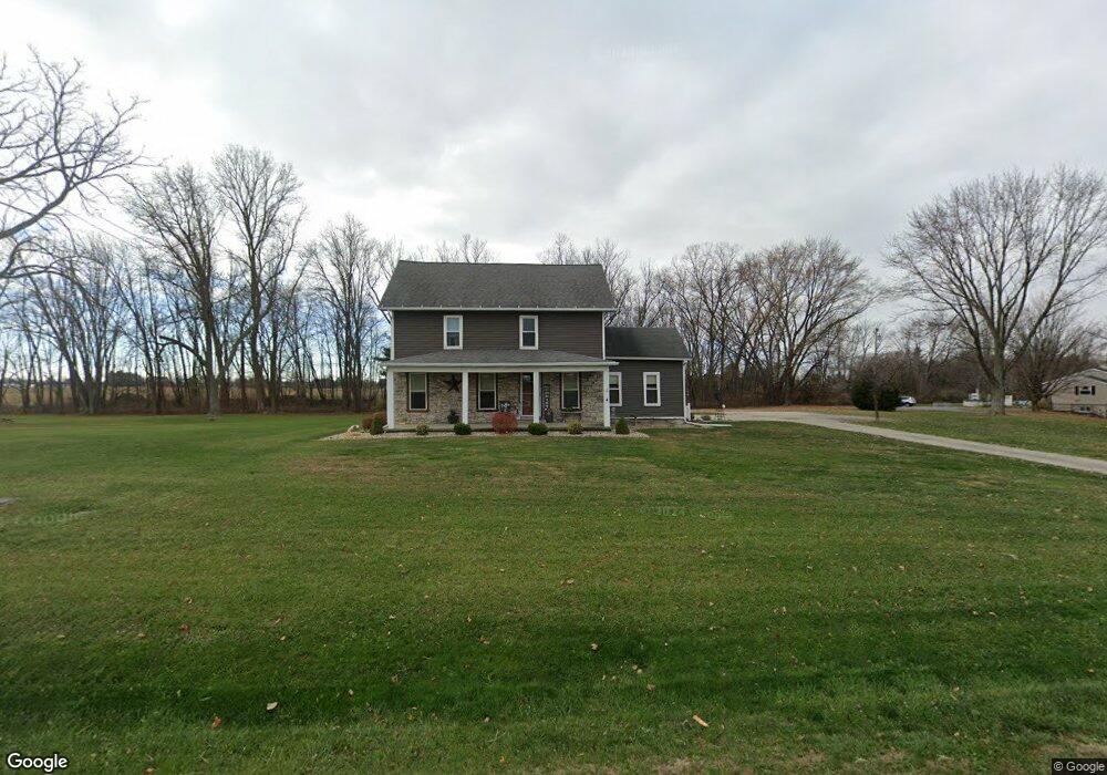
2407 Us Highway 250 S Norwalk, OH 44857
Estimated Value: $300,000 - $364,000
3
Beds
2
Baths
2,412
Sq Ft
$134/Sq Ft
Est. Value
About This Home
This home is located at 2407 Us Highway 250 S, Norwalk, OH 44857 and is currently estimated at $323,600, approximately $134 per square foot. 2407 Us Highway 250 S is a home with nearby schools including Maplehurst Elementary School, Pleasant Elementary School, and League Elementary School.
Ownership History
Date
Name
Owned For
Owner Type
Purchase Details
Closed on
Jun 5, 2020
Sold by
Marett William R
Bought by
Palmison Jason B and Palmison Tammy
Current Estimated Value
Home Financials for this Owner
Home Financials are based on the most recent Mortgage that was taken out on this home.
Original Mortgage
$176,700
Outstanding Balance
$156,923
Interest Rate
3.3%
Mortgage Type
New Conventional
Estimated Equity
$166,677
Purchase Details
Closed on
Apr 6, 2010
Bought by
William R Marett
Purchase Details
Closed on
Nov 16, 2009
Bought by
Deutsche Bank National Trust Company
Purchase Details
Closed on
Aug 18, 2006
Bought by
Case Larry A and Case Dawn I
Purchase Details
Closed on
May 19, 2004
Bought by
Rogers Kevin R
Purchase Details
Closed on
Aug 22, 1986
Bought by
Hite Robin D
Create a Home Valuation Report for This Property
The Home Valuation Report is an in-depth analysis detailing your home's value as well as a comparison with similar homes in the area
Home Values in the Area
Average Home Value in this Area
Purchase History
| Date | Buyer | Sale Price | Title Company |
|---|---|---|---|
| Palmison Jason B | $186,000 | Tucker Escrow & Title Svcs | |
| William R Marett | $76,000 | -- | |
| Deutsche Bank National Trust Company | $72,000 | -- | |
| Case Larry A | $135,000 | -- | |
| Rogers Kevin R | $132,500 | -- | |
| Hite Robin D | $68,000 | -- |
Source: Public Records
Mortgage History
| Date | Status | Borrower | Loan Amount |
|---|---|---|---|
| Open | Palmison Jason B | $176,700 |
Source: Public Records
Tax History Compared to Growth
Tax History
| Year | Tax Paid | Tax Assessment Tax Assessment Total Assessment is a certain percentage of the fair market value that is determined by local assessors to be the total taxable value of land and additions on the property. | Land | Improvement |
|---|---|---|---|---|
| 2024 | $2,836 | $69,790 | $12,220 | $57,570 |
| 2023 | $2,836 | $56,860 | $9,480 | $47,380 |
| 2022 | $2,287 | $56,860 | $9,480 | $47,380 |
| 2021 | $2,288 | $56,860 | $9,480 | $47,380 |
| 2020 | $1,914 | $45,410 | $8,040 | $37,370 |
| 2019 | $1,832 | $43,640 | $8,040 | $35,600 |
| 2018 | $1,800 | $43,640 | $8,040 | $35,600 |
| 2017 | $1,675 | $41,020 | $7,910 | $33,110 |
| 2016 | $1,425 | $41,020 | $7,910 | $33,110 |
| 2015 | $1,424 | $35,560 | $7,920 | $27,640 |
| 2014 | $1,437 | $35,490 | $7,910 | $27,580 |
| 2013 | $1,249 | $35,490 | $7,910 | $27,580 |
Source: Public Records
Map
Nearby Homes
- 35 Eagle Creek Dr
- 9 Eagle Creek Dr
- 191 Briarcrest Dr
- 40 Briarcrest Village
- 431 Old State Rd S
- 2163 Cole Creek Dr
- 15 W Chestnut St
- 120 Woodlawn Ave
- 29 Harris Ave
- 85 Woodlawn Ave
- 58 E Elm St
- 40 Norwood Ave
- 1206 New State Rd
- 21 Maple St
- 37 S Garden St
- 29 Corwin St
- 0 Cleveland Rd
- 1064 New State Rd N
- 27 Whitefield Blvd
- 14 Whitefield Blvd
- 2407 U S 250
- 2429 St Rt 250
- 115 Zenobia Rd
- 91 Zenobia Rd
- 2410 Old State Rd N
- 196 Zenobia Rd
- 92 Zenobia Rd
- 69 Zenobia Rd
- 74 Zenobia Rd
- 64 Zenobia Rd
- 54 Zenobia Rd
- 2418 Old State Rd N
- 2436 Old State Rd N
- 35 Zenobia Rd
- 2474 Old State Rd N
- 291 Zenobia Rd
- 2514 Old State Rd N
- 2514 Old State Rd N
- 2447 Old State Rd N
- 2528 Old State Rd N