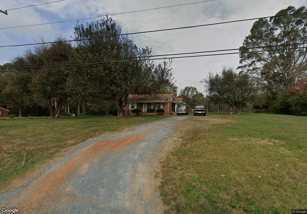
2408 Lancaster Hwy Monroe, NC 28112
Estimated Value: $271,944 - $322,000
2
Beds
1
Bath
1,143
Sq Ft
$253/Sq Ft
Est. Value
About This Home
This home is located at 2408 Lancaster Hwy, Monroe, NC 28112 and is currently estimated at $289,736, approximately $253 per square foot. 2408 Lancaster Hwy is a home located in Union County with nearby schools including Walter Bickett Elementary School, Monroe Middle School, and Monroe High School.
Ownership History
Date
Name
Owned For
Owner Type
Purchase Details
Closed on
Nov 18, 2018
Sold by
Mcgee Alan and Mcgee Karen
Bought by
Kam Properties Llc
Current Estimated Value
Purchase Details
Closed on
May 11, 2018
Sold by
Aycoth Johnnie P and Aycoth Johnnie Jean
Bought by
Cheetah Properties Llc
Home Financials for this Owner
Home Financials are based on the most recent Mortgage that was taken out on this home.
Original Mortgage
$55,923
Interest Rate
4.44%
Mortgage Type
Purchase Money Mortgage
Create a Home Valuation Report for This Property
The Home Valuation Report is an in-depth analysis detailing your home's value as well as a comparison with similar homes in the area
Home Values in the Area
Average Home Value in this Area
Purchase History
| Date | Buyer | Sale Price | Title Company |
|---|---|---|---|
| Kam Properties Llc | -- | None Available | |
| Cheetah Properties Llc | $100,000 | None Available |
Source: Public Records
Mortgage History
| Date | Status | Borrower | Loan Amount |
|---|---|---|---|
| Previous Owner | Cheetah Properties Llc | $55,923 |
Source: Public Records
Tax History Compared to Growth
Tax History
| Year | Tax Paid | Tax Assessment Tax Assessment Total Assessment is a certain percentage of the fair market value that is determined by local assessors to be the total taxable value of land and additions on the property. | Land | Improvement |
|---|---|---|---|---|
| 2024 | $1,106 | $172,000 | $22,400 | $149,600 |
| 2023 | $1,091 | $172,000 | $22,400 | $149,600 |
| 2022 | $1,091 | $172,000 | $22,400 | $149,600 |
| 2021 | $1,084 | $172,000 | $22,400 | $149,600 |
| 2020 | $737 | $95,600 | $15,000 | $80,600 |
| 2019 | $752 | $95,600 | $15,000 | $80,600 |
| 2018 | $752 | $95,600 | $15,000 | $80,600 |
| 2017 | $801 | $95,600 | $15,000 | $80,600 |
| 2016 | $775 | $95,600 | $15,000 | $80,600 |
| 2015 | $788 | $95,600 | $15,000 | $80,600 |
| 2014 | $833 | $119,610 | $27,000 | $92,610 |
Source: Public Records
Map
Nearby Homes
- 0 Avery Parker Rd
- 00 Doster Rd
- 2622 Lancaster Hwy
- 0 Lancaster Hwy
- 901 Cameron Ct
- 1813 Doster Rd
- 0 White Oaks Cir Unit 41-44 CAR4254996
- 2105 Timber Ridge Rd
- 2213 Wheaton Way
- 1464 Honey Trail
- 1468 Honey Trail
- 1401 Honey Trail
- 715 White Oaks Cir
- 1343 Honey Trail
- 2128 Gambrel Way
- 620 Hunley St
- 1417 Mccollum St
- 2014 Pleasant Knoll Ln
- 1606 Honey Trail
- 1610 Honey Trail
- 2418 Lancaster Hwy
- 2404 Lancaster Hwy
- 1918 Kings Pointe Dr
- 2420 Highway 200 Hwy
- 2416 Lancaster Hwy
- 1919 Lancaster Ave
- 1912 Kings Pointe Dr
- 2323 Lancaster Hwy
- 2501 Lancaster Hwy
- 1913 Kings Pointe Dr
- 1219 Autumn Cove
- 1908 Kings Pointe Dr
- 1215 Autumn Cove
- 2504 Lancaster Hwy
- 2503 Lancaster Hwy
- 1211 Autumn Cove
- 1211 Autumn Cove Unit 5
- 1907 Kings Pointe Dr
- 1223 Autumn Cove
- 1904 Kings Pointe Dr