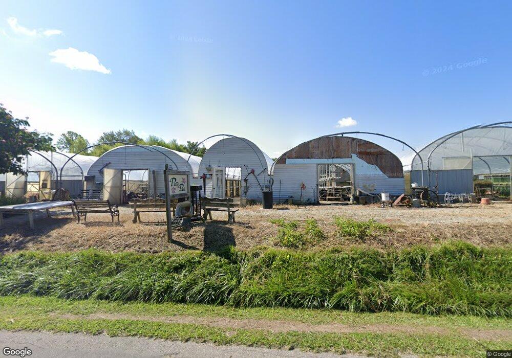
24080 Stipps Hill Rd Laurel, IN 47024
Estimated Value: $254,000 - $303,000
4
Beds
1
Bath
2,100
Sq Ft
$136/Sq Ft
Est. Value
About This Home
This home is located at 24080 Stipps Hill Rd, Laurel, IN 47024 and is currently estimated at $286,476, approximately $136 per square foot. 24080 Stipps Hill Rd is a home located in Franklin County with nearby schools including Franklin County High School.
Create a Home Valuation Report for This Property
The Home Valuation Report is an in-depth analysis detailing your home's value as well as a comparison with similar homes in the area
Tax History Compared to Growth
Tax History
| Year | Tax Paid | Tax Assessment Tax Assessment Total Assessment is a certain percentage of the fair market value that is determined by local assessors to be the total taxable value of land and additions on the property. | Land | Improvement |
|---|---|---|---|---|
| 2024 | $977 | $156,100 | $29,600 | $126,500 |
| 2023 | $908 | $149,500 | $27,200 | $122,300 |
| 2022 | $839 | $137,300 | $25,800 | $111,500 |
| 2021 | $663 | $116,400 | $23,800 | $92,600 |
| 2020 | $586 | $113,100 | $23,100 | $90,000 |
| 2019 | $588 | $114,500 | $24,100 | $90,400 |
| 2018 | $563 | $113,200 | $25,200 | $88,000 |
| 2017 | $556 | $109,400 | $26,200 | $83,200 |
| 2016 | $525 | $106,800 | $26,600 | $80,200 |
| 2014 | $497 | $107,500 | $27,000 | $80,500 |
| 2013 | $497 | $111,900 | $25,800 | $86,100 |
Source: Public Records
Map
Nearby Homes
- 0 Stipps Hill Rd
- 0 Stipps Hill Rd Unit LotWP001 24911803
- 9208 Davison Rd
- 0 Frazer Rd
- 1 Us-52
- 2 Us-52
- 3 Us-52
- 0 Old Us 52 Rd Unit 202518802
- 0 Old Us 52 Rd Unit LotWP001 23615955
- 25012 Old Us Highway 52
- 0 Red Oak Ln
- 1070 E Mohican Trail
- 1156 E Mohican Trail
- 7855 E 1000 S
- 1001 E Allegheny Trail
- 1446 NE Kutenai Trail
- 1428 N Mohican Trail
- 25228 Vanatta Hollow Rd
- 24115 Sanes Creek Rd
- 1594 N Cowlitz Trail
- 24100 Stipps Hill Rd
- 24100 Stipps Hill Rd
- 24037 Stipps Hill Rd
- 24115 Stipps Hill Rd
- 24004 Stipps Hill Rd
- 24004 Stipps Hill Rd
- 24144 Stipps Hill Rd
- 24118 Short Rd
- 24103 Short Rd
- 24152 Stipps Hill Rd
- 23216 Stipps Hill Rd
- 0 Short Rd Unit 21143057
- 0 Short Rd Unit 273257
- 0 Short Rd Unit 275997
- 24162 Stipps Hill Rd
- 9074 Red School Rd
- 24153 Short Rd
- 24067 Combs Ln
- 24182 Stipps Hill Rd
- 24045 Combs Ln
