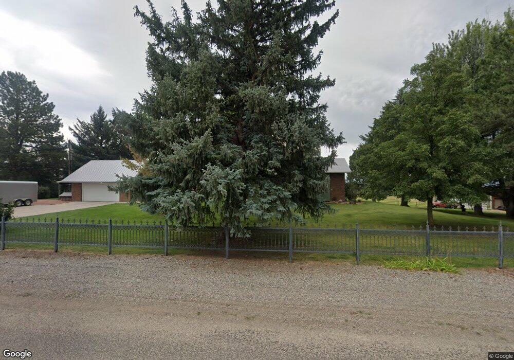
24086 T50 Rd Cedaredge, CO 81413
Estimated Value: $890,000 - $1,620,000
4
Beds
4
Baths
3,399
Sq Ft
$360/Sq Ft
Est. Value
About This Home
This home is located at 24086 T50 Rd, Cedaredge, CO 81413 and is currently estimated at $1,225,000, approximately $360 per square foot. 24086 T50 Rd is a home located in Delta County with nearby schools including Cedaredge Elementary School, Cedaredge Middle School, and Cedaredge High School.
Ownership History
Date
Name
Owned For
Owner Type
Purchase Details
Closed on
Jul 8, 2024
Sold by
Fulks Roger C and Fulks Fran
Bought by
Decker James C and Decker Peggy J
Current Estimated Value
Purchase Details
Closed on
Jan 19, 2017
Sold by
Kasinger Ronnie E
Bought by
Piceance Creek Llc
Purchase Details
Closed on
Sep 30, 2010
Sold by
The Estate Of Donald Hald Petersen
Bought by
Decker James C and Decker Peggy J
Create a Home Valuation Report for This Property
The Home Valuation Report is an in-depth analysis detailing your home's value as well as a comparison with similar homes in the area
Purchase History
| Date | Buyer | Sale Price | Title Company |
|---|---|---|---|
| Decker James C | -- | None Listed On Document | |
| Piceance Creek Llc | $105,000 | Land Title Guarantee Company | |
| Decker James C | -- | Land Title Guarantee Company | |
| Decker James C | $650,000 | Land Title Guarantee Company |
Source: Public Records
Tax History
| Year | Tax Paid | Tax Assessment Tax Assessment Total Assessment is a certain percentage of the fair market value that is determined by local assessors to be the total taxable value of land and additions on the property. | Land | Improvement |
|---|---|---|---|---|
| 2024 | $3,777 | $61,080 | $4,341 | $56,739 |
| 2023 | $3,777 | $61,080 | $4,341 | $56,739 |
| 2022 | $2,792 | $46,470 | $3,954 | $42,516 |
| 2021 | $2,848 | $48,620 | $4,344 | $44,276 |
| 2020 | $2,615 | $43,938 | $3,701 | $40,237 |
| 2019 | $2,620 | $43,938 | $3,701 | $40,237 |
| 2018 | $2,131 | $34,363 | $4,706 | $29,657 |
| 2017 | $1,713 | $27,637 | $5,410 | $22,227 |
| 2016 | $1,454 | $25,759 | $4,441 | $21,318 |
| 2014 | -- | $17,360 | $2,983 | $14,377 |
Source: Public Records
Map
Nearby Homes
- 24593 Timothy Rd
- TBD SE 3rd Lot 5 Will-O-way Subdivision St
- Unit 13 W Elk Dr
- 18865 Northridge Rd
- 24119 Ute Trail Rd
- 23045 T Rd
- 18377 Highway 65
- 18200 Surface Creek Rd
- 22876 Thunder Mountain Ln
- 20709 Highway 65
- 17969 Surface Creek Rd
- 794 NE Indian Camp Ave
- 20856 2300 Rd
- 2115 2500 Rd
- 635 NE 2nd St
- 470 NE Elder Ct
- 17343 Surface Creek Rd
- 17826 & 17830 Hanson Rd
- 17656 2550 Rd
- 470 NW Cedar Ave
- 24086 T50 Rd Unit House
- 24095 T50 Rd
- 19296 Surface Creek Rd
- 19248 Surface Creek Rd
- 23888 T50 Rd
- 19369 Surface Creek Rd
- 19325 Surface Creek Rd
- 23853 T50 Rd
- 19403 Surface Creek Rd
- TBD 2375 Rd
- 19432 Surface Creek Rd
- 19587 Surface Creek Rd
- 24037 T50 Rd
- 19484 2375 Rd
- 19439 Surface Creek Rd
- 19142 Surface Creek Rd
- 24045 T50 Rd
- 19686 2375 Rd
- 19682 2375 Rd
- 23999 Tabor Rd
Your Personal Tour Guide
Ask me questions while you tour the home.