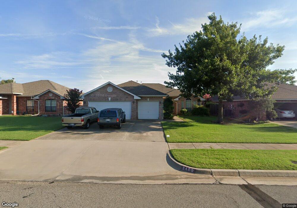
2409 Stonebridge Dr Norman, OK 73071
Southeast Norman NeighborhoodEstimated Value: $296,000 - $326,000
4
Beds
2
Baths
2,039
Sq Ft
$150/Sq Ft
Est. Value
About This Home
This home is located at 2409 Stonebridge Dr, Norman, OK 73071 and is currently estimated at $305,597, approximately $149 per square foot. 2409 Stonebridge Dr is a home located in Cleveland County with nearby schools including Ronald Reagan Elementary School, Irving Middle School, and Norman High School.
Ownership History
Date
Name
Owned For
Owner Type
Purchase Details
Closed on
Jun 25, 2007
Sold by
Shaffer Randal P and Shaffer Blossom
Bought by
Sims Paul A and Sims Tauri
Current Estimated Value
Home Financials for this Owner
Home Financials are based on the most recent Mortgage that was taken out on this home.
Original Mortgage
$143,600
Interest Rate
6.19%
Mortgage Type
New Conventional
Purchase Details
Closed on
Jun 6, 2005
Sold by
Winchester Richard C and Winchester Holly U
Bought by
Shaffer Randal P and Shaffer Blossom
Home Financials for this Owner
Home Financials are based on the most recent Mortgage that was taken out on this home.
Original Mortgage
$175,187
Interest Rate
5.79%
Mortgage Type
VA
Create a Home Valuation Report for This Property
The Home Valuation Report is an in-depth analysis detailing your home's value as well as a comparison with similar homes in the area
Home Values in the Area
Average Home Value in this Area
Purchase History
| Date | Buyer | Sale Price | Title Company |
|---|---|---|---|
| Sims Paul A | $179,500 | None Available | |
| Shaffer Randal P | $171,500 | None Available |
Source: Public Records
Mortgage History
| Date | Status | Borrower | Loan Amount |
|---|---|---|---|
| Closed | Sims Paul A | $143,600 | |
| Previous Owner | Shaffer Randal P | $175,187 |
Source: Public Records
Tax History
| Year | Tax Paid | Tax Assessment Tax Assessment Total Assessment is a certain percentage of the fair market value that is determined by local assessors to be the total taxable value of land and additions on the property. | Land | Improvement |
|---|---|---|---|---|
| 2025 | $3,331 | $27,758 | $5,653 | $22,105 |
| 2023 | $3,023 | $25,177 | $5,230 | $19,947 |
| 2022 | $2,762 | $23,978 | $4,838 | $19,140 |
| 2021 | $2,772 | $22,836 | $4,702 | $18,134 |
| 2020 | $2,585 | $21,749 | $3,000 | $18,749 |
| 2019 | $2,628 | $21,749 | $3,000 | $18,749 |
| 2018 | $2,549 | $21,749 | $3,000 | $18,749 |
| 2017 | $2,577 | $21,749 | $0 | $0 |
| 2016 | $2,619 | $21,749 | $3,000 | $18,749 |
| 2015 | $2,468 | $21,127 | $2,640 | $18,487 |
| 2014 | $2,492 | $21,127 | $2,640 | $18,487 |
Source: Public Records
Map
Nearby Homes
- 2725 Tropicana Ave
- 3109 Birmingham Dr
- 2210 Kimball Dr
- 2520 Everton Ln
- 2028 Rose Ct
- 2030 Delphine Dr
- 2026 Delphine Dr
- 2012 Delphine Dr
- 2223 Wolford Way
- 2007 Delphine Dr
- 2215 Wolford Way
- 1937 Delphine Dr
- 821 Mount Irving Way
- 2009 Wolford Way
- 2005 Wolford Way
- 1943 Wolford Way
- 1902 Wolford Way
- 3508 Madra
- 1908 Frost Ln
- 3209 Valley Hollow
- 2405 Stonebridge Dr
- 2413 Stonebridge Dr
- 2401 Stonebridge Dr
- 2417 Stonebridge Dr
- 2408 Knollwood St
- 2404 Knollwood St
- 2412 Knollwood St
- 2400 Knollwood St
- 2421 Stonebridge Dr
- 2416 Knollwood St
- 2408 Stonebridge Dr
- 2412 Stonebridge Dr
- 2404 Stonebridge Dr
- 2416 Stonebridge Dr
- 2420 Knollwood St
- 2425 Stonebridge Dr
- 2420 Stonebridge Dr
- 2808 Cimarron Dr
- 2409 Knollwood St
- 2405 Knollwood St
Your Personal Tour Guide
Ask me questions while you tour the home.