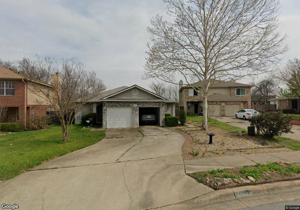
2409B Curry Loop Round Rock, TX 78664
Stony Point NeighborhoodEstimated Value: $227,733 - $323,000
2
Beds
2
Baths
996
Sq Ft
$284/Sq Ft
Est. Value
About This Home
This home is located at 2409B Curry Loop, Round Rock, TX 78664 and is currently estimated at $282,933, approximately $284 per square foot. 2409B Curry Loop is a home located in Williamson County with nearby schools including Union Hill Elementary School, Hernandez Middle School, and Stony Point High IB World School.
Ownership History
Date
Name
Owned For
Owner Type
Purchase Details
Closed on
Jul 7, 2020
Sold by
Armstrong Donna Jean
Bought by
Armstrong Kenneth Lee
Current Estimated Value
Purchase Details
Closed on
Jun 1, 2007
Sold by
Sommer Steven T
Bought by
Auxer Donna J
Purchase Details
Closed on
Sep 26, 2006
Sold by
Osmar David Richard
Bought by
Sommer Steven T
Home Financials for this Owner
Home Financials are based on the most recent Mortgage that was taken out on this home.
Original Mortgage
$67,120
Interest Rate
6.44%
Mortgage Type
Purchase Money Mortgage
Create a Home Valuation Report for This Property
The Home Valuation Report is an in-depth analysis detailing your home's value as well as a comparison with similar homes in the area
Home Values in the Area
Average Home Value in this Area
Purchase History
| Date | Buyer | Sale Price | Title Company |
|---|---|---|---|
| Armstrong Kenneth Lee | -- | None Available | |
| Auxer Donna J | -- | Atc | |
| Sommer Steven T | -- | Atc |
Source: Public Records
Mortgage History
| Date | Status | Borrower | Loan Amount |
|---|---|---|---|
| Previous Owner | Sommer Steven T | $67,120 |
Source: Public Records
Tax History
| Year | Tax Paid | Tax Assessment Tax Assessment Total Assessment is a certain percentage of the fair market value that is determined by local assessors to be the total taxable value of land and additions on the property. | Land | Improvement |
|---|---|---|---|---|
| 2025 | $1,000 | $233,877 | -- | -- |
| 2024 | $1,000 | $212,615 | $30,000 | $182,615 |
| 2023 | $890 | $203,950 | $0 | $0 |
| 2022 | $3,516 | $185,409 | $0 | $0 |
| 2021 | $3,784 | $168,554 | $24,000 | $150,053 |
| 2020 | $3,459 | $153,231 | $22,833 | $130,398 |
| 2019 | $3,244 | $140,504 | $19,950 | $124,663 |
| 2018 | $1,544 | $127,731 | $18,725 | $114,430 |
| 2017 | $2,736 | $116,119 | $17,500 | $98,619 |
| 2016 | $2,524 | $107,154 | $17,500 | $89,654 |
| 2015 | $1,538 | $104,743 | $15,000 | $89,743 |
| 2014 | $1,538 | $95,679 | $0 | $0 |
Source: Public Records
Map
Nearby Homes
- 2407A Curry Loop
- 909 Clearwater Trail
- 800 Saunders Dr
- 1481 E Old Settlers Blvd Unit 1401
- 2101 Jester Farms
- 1003 Whispering Dr
- 606 Misty Morning Way Unit A and B
- 609 Clearwater Trail
- 2008 Meadow Brook Dr
- 2067 Buckley Ln
- 1008 Ridgeline Dr
- 2034 Buckley Ln
- 1107 Long Meadow Dr
- 2690 Bradley Ln
- 3000 Sunrise Rd
- 2471 Sunrise Rd Unit 2
- 2471 Sunrise Rd Unit 64
- 1869 Wallin Loop
- 3009 Pioneer Way
- 1867 Wallin Loop
- 2411A Curry Loop
- 2409A Curry Loop
- 2426 Curry Loop
- 2411 Curry Loop Unit A
- 2411 Curry Loop
- 2407B Curry Loop
- 2411B Curry Loop
- 2413A Curry Loop
- 2412 Curry Loop
- 2412 Curry Loop Unit A
- 2413 Curry Loop Unit B
- 2413 Curry Loop
- 2413 Curry Loop Unit A
- 2405B Curry Loop
- 2413B Curry Loop Unit B
- 2413B Curry Loop
- 2412B Curry Loop
- 2419 Curry Loop Unit B
- 2415A Curry Loop
Your Personal Tour Guide
Ask me questions while you tour the home.