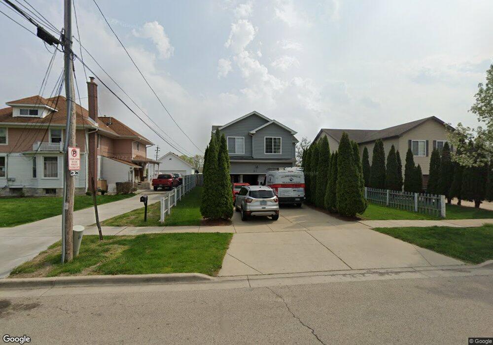
241 Adams St Elgin, IL 60123
Southwest Elgin NeighborhoodEstimated Value: $292,000 - $397,000
4
Beds
3
Baths
2,207
Sq Ft
$165/Sq Ft
Est. Value
About This Home
This home is located at 241 Adams St, Elgin, IL 60123 and is currently estimated at $363,160, approximately $164 per square foot. 241 Adams St is a home located in Kane County with nearby schools including Lowrie Elementary School, Abbott Middle School, and Larkin High School.
Ownership History
Date
Name
Owned For
Owner Type
Purchase Details
Closed on
Apr 27, 2006
Sold by
Lynzi Builders
Bought by
Villegas Antonio and Villegas Armida
Current Estimated Value
Home Financials for this Owner
Home Financials are based on the most recent Mortgage that was taken out on this home.
Original Mortgage
$215,200
Outstanding Balance
$127,113
Interest Rate
6.75%
Mortgage Type
New Conventional
Estimated Equity
$236,047
Purchase Details
Closed on
Feb 18, 2005
Sold by
Dominguez Pedro
Bought by
Lyzni Builders Inc
Create a Home Valuation Report for This Property
The Home Valuation Report is an in-depth analysis detailing your home's value as well as a comparison with similar homes in the area
Home Values in the Area
Average Home Value in this Area
Purchase History
| Date | Buyer | Sale Price | Title Company |
|---|---|---|---|
| Villegas Antonio | $269,000 | First American Title | |
| Lyzni Builders Inc | $39,000 | -- |
Source: Public Records
Mortgage History
| Date | Status | Borrower | Loan Amount |
|---|---|---|---|
| Open | Villegas Antonio | $215,200 |
Source: Public Records
Tax History
| Year | Tax Paid | Tax Assessment Tax Assessment Total Assessment is a certain percentage of the fair market value that is determined by local assessors to be the total taxable value of land and additions on the property. | Land | Improvement |
|---|---|---|---|---|
| 2024 | $7,963 | $111,346 | $17,103 | $94,243 |
| 2023 | $7,580 | $100,592 | $15,451 | $85,141 |
| 2022 | $7,128 | $91,723 | $14,089 | $77,634 |
| 2021 | $6,844 | $84,717 | $13,172 | $71,545 |
| 2020 | $7,376 | $80,876 | $12,575 | $68,301 |
| 2019 | $7,195 | $77,039 | $11,978 | $65,061 |
| 2018 | $7,137 | $72,187 | $11,284 | $60,903 |
| 2017 | $7,019 | $68,242 | $10,667 | $57,575 |
| 2016 | $6,752 | $63,310 | $9,896 | $53,414 |
| 2015 | -- | $58,030 | $9,071 | $48,959 |
| 2014 | -- | $57,314 | $8,959 | $48,355 |
| 2013 | -- | $58,825 | $9,195 | $49,630 |
Source: Public Records
Map
Nearby Homes
- 50 S State St
- 331 Orange St
- 3 National St Unit 3
- 7 National St Unit 7
- 455 Walnut Ave
- 552 Walnut Ave
- 208 Moseley St
- 518 Raymond St
- 262 Bartlett Place
- 315 Vandalia St
- 353 Wilcox Ave
- 800 Morgan St
- 96 S Crystal St
- 277 Gifford Place
- 756 Walnut Ave
- 211 Prairie St
- 332-334 St Charles St
- 761 South St
- 835 Oak St
- 216 Prairie St
- 243 Adams St
- 576 S State St
- 245 Adams St Unit 247
- 249 Adams St Unit 251
- 253 Adams St Unit 55
- 220 Adams St
- 524 S State St
- 257 Adams St Unit 259
- 519 Wilber St
- 250 Adams St
- 518 S State St
- 261 Adams St Unit 63
- 515 Wilber St
- 559 S State St
- 555 S State St
- 565 S State St
- 514 S State St
- 265 Adams St Unit 267
- 531 S State St
- 260 Adams St
Your Personal Tour Guide
Ask me questions while you tour the home.