241 Arrendale Rd Dahlonega, GA 30533
Estimated Value: $329,964 - $419,000
--
Bed
2
Baths
2,364
Sq Ft
$158/Sq Ft
Est. Value
About This Home
This home is located at 241 Arrendale Rd, Dahlonega, GA 30533 and is currently estimated at $373,741, approximately $158 per square foot. 241 Arrendale Rd is a home located in Lumpkin County with nearby schools including Clay County Middle School, Lumpkin County High School, and Bay Creek Christian Academy.
Ownership History
Date
Name
Owned For
Owner Type
Purchase Details
Closed on
Jul 9, 2003
Sold by
Arrendale Dora
Bought by
Woodward Robin
Current Estimated Value
Purchase Details
Closed on
Feb 11, 2003
Sold by
Woodward Robin A Rider and Woodward David
Bought by
Woodward Robin A Rider
Purchase Details
Closed on
Feb 1, 2001
Sold by
Rider Robin A
Bought by
Woodward Robin A Rider and Woodward David
Purchase Details
Closed on
Jul 29, 1994
Sold by
Arrendale Seldon F
Bought by
Rider Robin A
Purchase Details
Closed on
Apr 1, 1984
Bought by
Arrendale Seldon F
Create a Home Valuation Report for This Property
The Home Valuation Report is an in-depth analysis detailing your home's value as well as a comparison with similar homes in the area
Home Values in the Area
Average Home Value in this Area
Purchase History
| Date | Buyer | Sale Price | Title Company |
|---|---|---|---|
| Woodward Robin | $1,000 | -- | |
| Woodward Robin A Rider | -- | -- | |
| Woodward Robin A Rider | -- | -- | |
| Rider Robin A | $68,000 | -- | |
| Arrendale Seldon F | -- | -- |
Source: Public Records
Tax History Compared to Growth
Tax History
| Year | Tax Paid | Tax Assessment Tax Assessment Total Assessment is a certain percentage of the fair market value that is determined by local assessors to be the total taxable value of land and additions on the property. | Land | Improvement |
|---|---|---|---|---|
| 2024 | $2,326 | $102,102 | $8,944 | $93,158 |
| 2023 | $1,786 | $95,506 | $8,358 | $87,148 |
| 2022 | $2,279 | $94,056 | $6,967 | $87,089 |
| 2021 | $1,998 | $80,068 | $6,967 | $73,101 |
| 2020 | $2,000 | $77,811 | $6,674 | $71,137 |
| 2019 | $2,018 | $77,811 | $6,674 | $71,137 |
| 2018 | $1,907 | $69,218 | $6,674 | $62,544 |
| 2017 | $1,913 | $68,144 | $6,674 | $61,470 |
| 2016 | $1,743 | $60,293 | $6,674 | $53,619 |
| 2015 | $1,577 | $60,292 | $6,674 | $53,619 |
| 2014 | $1,577 | $61,833 | $6,674 | $55,160 |
| 2013 | -- | $67,826 | $6,673 | $61,152 |
Source: Public Records
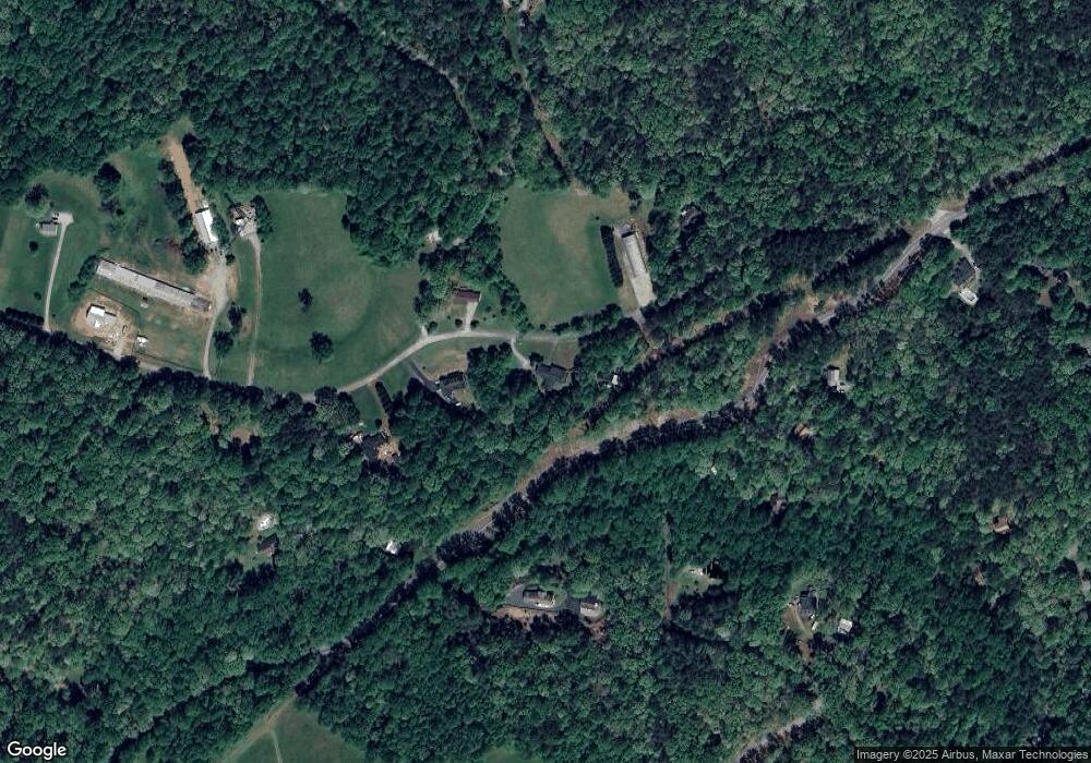
Map
Nearby Homes
- 194 Deerfield Dr
- 150 Buck Run E
- 33 T J Mote Rd
- 33 Tj Mote Rd
- 221 Laurel Cir
- 486 Laurel Cir
- 0x Pink Williams Rd
- 0x Pink Williams Rd Unit 124AC
- 0 Rainmore Dr Unit 7620063
- 0 Rainmore Dr Unit 10570615
- 103 Rainmore Dr
- 115 W Woods Dr
- 50 Loyal Dr
- 6418 Dawsonville Hwy
- 190 Grand Oak Ln
- 15 Baker St
- 1044 Rider Rd
- 27 Bryn Ct
- 78 Etowah West Dr
- 50 Hannahs Ct
- 333 Arrendale Rd
- 163 Arrendale Rd
- 294 Arrendale Rd
- 2 Preservation Way
- 375 Arrendale Rd
- 1 Preservation Way
- 118 Arrendale Rd
- 0 Off of Arrendale Rd Dawsonville Hwy Unit 4.5AC 7502921
- 0 Mooney Creek Rd Unit 7484071
- 0 Mooney Creek Rd Unit 3208514
- 0 Mooney Creek Rd Unit 8349498
- 27 Mooney Creek Rd
- 52 Moonshine Ridge
- 32 Moonshine Ridge
- 73 Mooney Creek Rd
- 4844 Dawsonville Hwy
- 2 Mooney Creek Rd
- 1 Mooney Creek Rd
- 95 Moonshine Ridge
- 185 Mooney Creek Rd