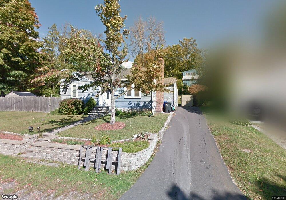
241 Barton St Torrington, CT 06790
Estimated Value: $168,000 - $322,000
3
Beds
1
Bath
1,398
Sq Ft
$169/Sq Ft
Est. Value
About This Home
This home is located at 241 Barton St, Torrington, CT 06790 and is currently estimated at $236,593, approximately $169 per square foot. 241 Barton St is a home located in Litchfield County with nearby schools including Torrington Middle School, Torrington High School, and Torrington Christian Academy.
Ownership History
Date
Name
Owned For
Owner Type
Purchase Details
Closed on
Sep 1, 2011
Sold by
Shackleford Sandra G
Bought by
Shackleford Sandra G and Ozzone Gloria
Current Estimated Value
Purchase Details
Closed on
Jun 28, 1996
Sold by
Rinaldi Joseph J
Bought by
Stickney Gaila A
Home Financials for this Owner
Home Financials are based on the most recent Mortgage that was taken out on this home.
Original Mortgage
$58,800
Interest Rate
6.75%
Mortgage Type
Purchase Money Mortgage
Create a Home Valuation Report for This Property
The Home Valuation Report is an in-depth analysis detailing your home's value as well as a comparison with similar homes in the area
Home Values in the Area
Average Home Value in this Area
Purchase History
| Date | Buyer | Sale Price | Title Company |
|---|---|---|---|
| Shackleford Sandra G | -- | -- | |
| Stickney Gaila A | $58,100 | -- |
Source: Public Records
Mortgage History
| Date | Status | Borrower | Loan Amount |
|---|---|---|---|
| Previous Owner | Stickney Gaila A | $7,158 | |
| Previous Owner | Stickney Gaila A | $93,002 | |
| Previous Owner | Stickney Gaila A | $58,800 |
Source: Public Records
Tax History Compared to Growth
Tax History
| Year | Tax Paid | Tax Assessment Tax Assessment Total Assessment is a certain percentage of the fair market value that is determined by local assessors to be the total taxable value of land and additions on the property. | Land | Improvement |
|---|---|---|---|---|
| 2025 | $3,101 | $80,640 | $0 | $80,640 |
| 2024 | $3,194 | $66,590 | $0 | $66,590 |
| 2023 | $3,194 | $66,590 | $0 | $66,590 |
| 2022 | $3,139 | $66,590 | $0 | $66,590 |
| 2021 | $3,074 | $66,590 | $0 | $66,590 |
| 2020 | $3,074 | $66,590 | $0 | $66,590 |
| 2019 | $3,016 | $65,330 | $0 | $65,330 |
| 2018 | $3,016 | $65,330 | $0 | $65,330 |
| 2017 | $2,989 | $65,330 | $0 | $65,330 |
| 2016 | $2,989 | $65,330 | $0 | $65,330 |
| 2015 | $2,989 | $65,330 | $0 | $65,330 |
| 2014 | $2,716 | $74,790 | $0 | $74,790 |
Source: Public Records
Map
Nearby Homes
- 185 Barton St
- 333 Hillside Ave Unit 10
- 63 Barbero Dr
- 187 Hillside Ave
- 71 Tognalli Dr
- 55 Barton St
- 148 Hillside Ave
- 119 Tognalli Dr
- 19 Harwinton Ave
- 184 Harwinton Ave
- 528 Clearview Ave
- 29 Hannah Way
- 291 E Main St
- 636 E Main St
- 505 Harwinton Ave Unit 21
- 505 Harwinton Ave Unit 27
- 141 Highfield Dr
- 48 Brookside Ave
- 65 Highfield Dr
- 178 Edgewood Dr