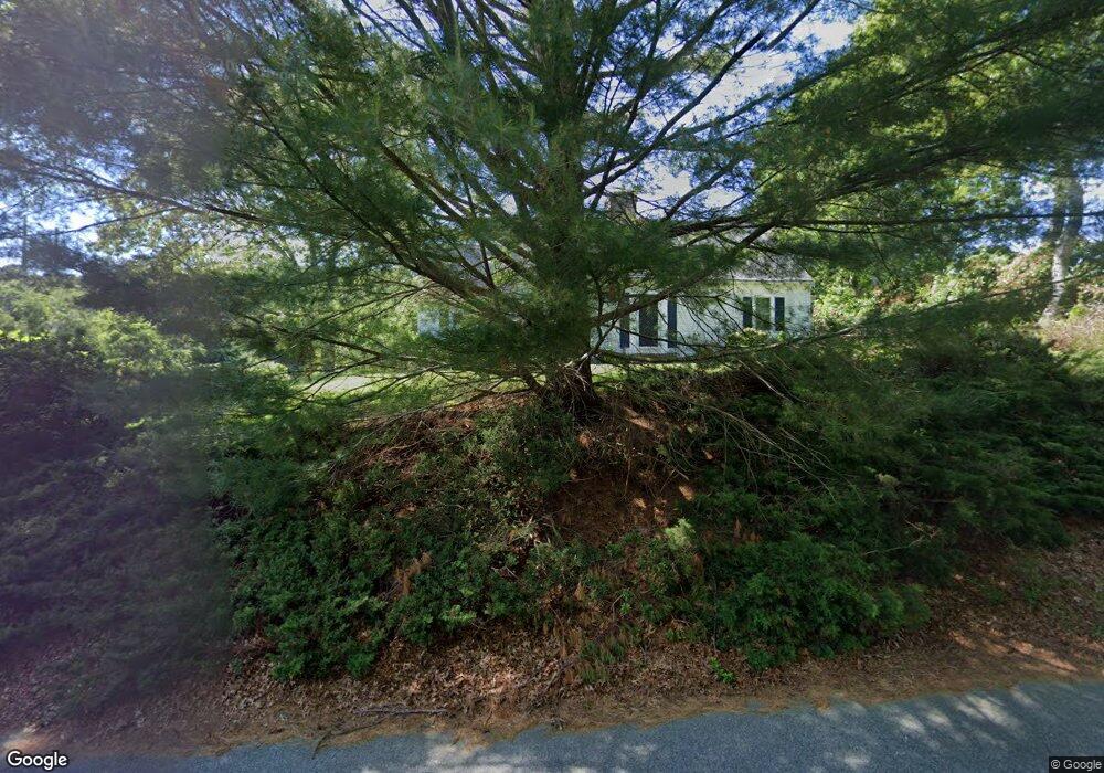
241 Capn Lijahs Rd Centerville, MA 02632
Centerville NeighborhoodEstimated Value: $681,000 - $706,000
3
Beds
2
Baths
1,899
Sq Ft
$365/Sq Ft
Est. Value
About This Home
This home is located at 241 Capn Lijahs Rd, Centerville, MA 02632 and is currently estimated at $693,969, approximately $365 per square foot. 241 Capn Lijahs Rd is a home located in Barnstable County with nearby schools including Centerville Elementary School, Barnstable United Elementary School, and Barnstable Intermediate School.
Ownership History
Date
Name
Owned For
Owner Type
Purchase Details
Closed on
May 6, 2020
Sold by
Uggerholt Kathleen A
Bought by
Dawe James E and Dawe Robin
Current Estimated Value
Home Financials for this Owner
Home Financials are based on the most recent Mortgage that was taken out on this home.
Original Mortgage
$150,000
Outstanding Balance
$132,921
Interest Rate
3.3%
Mortgage Type
New Conventional
Estimated Equity
$561,048
Purchase Details
Closed on
Sep 5, 2019
Sold by
Callahan S Chris
Bought by
Uggerholt Kathleen A and Uggerholt Chris Callahan
Create a Home Valuation Report for This Property
The Home Valuation Report is an in-depth analysis detailing your home's value as well as a comparison with similar homes in the area
Home Values in the Area
Average Home Value in this Area
Purchase History
| Date | Buyer | Sale Price | Title Company |
|---|---|---|---|
| Dawe James E | $365,000 | None Available | |
| Uggerholt Kathleen A | -- | -- |
Source: Public Records
Mortgage History
| Date | Status | Borrower | Loan Amount |
|---|---|---|---|
| Open | Dawe James E | $150,000 |
Source: Public Records
Tax History Compared to Growth
Tax History
| Year | Tax Paid | Tax Assessment Tax Assessment Total Assessment is a certain percentage of the fair market value that is determined by local assessors to be the total taxable value of land and additions on the property. | Land | Improvement |
|---|---|---|---|---|
| 2025 | $5,376 | $664,500 | $156,500 | $508,000 |
| 2024 | $4,938 | $632,300 | $156,500 | $475,800 |
| 2023 | $4,760 | $570,700 | $142,300 | $428,400 |
| 2022 | $4,502 | $467,000 | $105,400 | $361,600 |
| 2021 | $4,246 | $404,800 | $105,400 | $299,400 |
| 2020 | $4,091 | $373,300 | $105,400 | $267,900 |
| 2019 | $3,323 | $347,200 | $105,400 | $241,800 |
| 2018 | $3,590 | $320,000 | $110,900 | $209,100 |
| 2017 | $3,342 | $310,600 | $110,900 | $199,700 |
| 2016 | $3,398 | $311,700 | $112,000 | $199,700 |
| 2015 | $3,352 | $308,900 | $109,600 | $199,300 |
Source: Public Records
Map
Nearby Homes
- 62 3 Ponds Dr
- 62 Three Ponds Dr
- 900 Old Stage Rd
- 66 Tern Ln
- 73 Tern Ln
- 39 Lakewood Dr
- 296 Buckskin Path
- 40 Appaloosa Way
- 88 Joe Thompson Rd
- 315 Prince Hinckley Rd
- 87 Foxglove Rd
- 74 Saddler Ln
- 1044 Old Falmouth Rd
- 81 Monomoy Cir
- 1028 Old Falmouth Rd
- 80 Saddler Ln
- 2181 Service Rd
- 22 Monomoy Cir
- 29 Summerwind Ln
- 82 Yacht Club Rd
- 429 Cap'N Lijah's Rd
- 251 Capn Lijahs Rd
- 225 Capn Lijahs Rd
- 70 Oxner Rd
- 250 Capn Lijahs Rd
- 250 Captain Lijahs Rd
- 271 Capt Lijah's Rd
- 73 Oxner Rd
- 225 Captain Lijah's Rd
- 215 Capn Lijahs Rd
- 215 Cap'N Lijas
- 264 Capn Lijahs Rd
- 264 Cap'N Lijah's Rd
- 25 Pen Ln
- 271 Capn Lijahs Rd
- 104 Oxner Rd
- 50 Oxner Rd
- 283 Capt'N Lijah
- 212 Capn Lijahs Rd
- 30 Oxner Rd