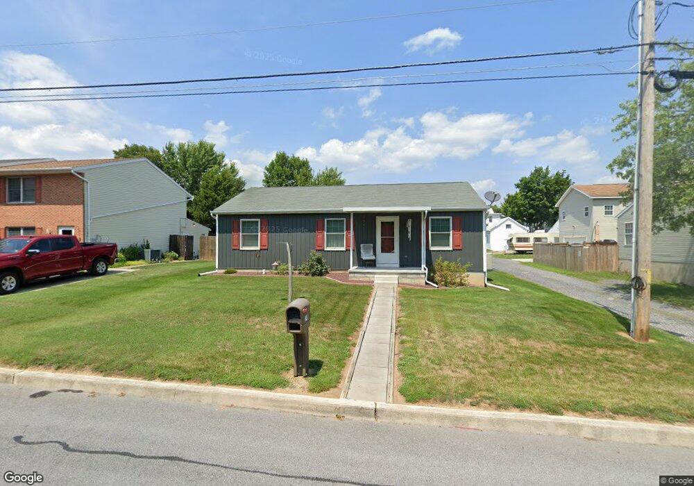
241 Charles St Littlestown, PA 17340
Estimated Value: $225,000 - $272,631
3
Beds
1
Bath
1,040
Sq Ft
$247/Sq Ft
Est. Value
About This Home
This home is located at 241 Charles St, Littlestown, PA 17340 and is currently estimated at $256,408, approximately $246 per square foot. 241 Charles St is a home located in Adams County with nearby schools including Rolling Acres El School, Maple Avenue Middle School, and Littlestown Senior High School.
Ownership History
Date
Name
Owned For
Owner Type
Purchase Details
Closed on
Jun 24, 2005
Sold by
Reed Ian J
Bought by
Shipley Wayne L
Current Estimated Value
Home Financials for this Owner
Home Financials are based on the most recent Mortgage that was taken out on this home.
Original Mortgage
$112,000
Outstanding Balance
$57,981
Interest Rate
5.63%
Mortgage Type
New Conventional
Estimated Equity
$198,427
Create a Home Valuation Report for This Property
The Home Valuation Report is an in-depth analysis detailing your home's value as well as a comparison with similar homes in the area
Home Values in the Area
Average Home Value in this Area
Purchase History
| Date | Buyer | Sale Price | Title Company |
|---|---|---|---|
| Shipley Wayne L | $140,000 | -- |
Source: Public Records
Mortgage History
| Date | Status | Borrower | Loan Amount |
|---|---|---|---|
| Open | Shipley Wayne L | $112,000 |
Source: Public Records
Tax History Compared to Growth
Tax History
| Year | Tax Paid | Tax Assessment Tax Assessment Total Assessment is a certain percentage of the fair market value that is determined by local assessors to be the total taxable value of land and additions on the property. | Land | Improvement |
|---|---|---|---|---|
| 2025 | $4,259 | $185,300 | $39,700 | $145,600 |
| 2024 | $4,105 | $185,300 | $39,700 | $145,600 |
| 2023 | $3,946 | $185,300 | $39,700 | $145,600 |
| 2022 | $3,922 | $185,300 | $39,700 | $145,600 |
| 2021 | $3,806 | $185,300 | $39,700 | $145,600 |
| 2020 | $3,760 | $185,300 | $39,700 | $145,600 |
| 2019 | $3,648 | $185,300 | $39,700 | $145,600 |
| 2018 | $3,581 | $185,300 | $39,700 | $145,600 |
| 2017 | $3,489 | $185,300 | $39,700 | $145,600 |
| 2016 | -- | $185,300 | $39,700 | $145,600 |
| 2015 | -- | $185,300 | $39,700 | $145,600 |
| 2014 | -- | $185,300 | $39,700 | $145,600 |
Source: Public Records
Map
Nearby Homes
- 129 W King St
- 22 Rita Marie Ave
- 117 Charles St
- 115 Charles St
- 52 Stayman Way Unit 81
- 140 Apple Grove Ln Unit 425
- 15 Yorktowne Ct Unit 97
- 135 Apple Grove Ln Unit 438
- 61 E King St
- 28 Gettysburg Ct Unit 60
- 161 Stoners Cir
- 440 N Queen St
- 211 E King St
- 1024 Frederick Pike Unit 6
- 162 Newark St
- 58 Windsor Ct
- 48 Windsor Ct
- 20c Locust Dr
- 0 Locust Dr Unit PAAD2015910
- 20 Locust Dr
- 251 Charles St Unit 2A
- 195 Charles St Unit 2
- 253 Charles St Unit 2
- 265 Charles St Unit 3
- 265 Charles Street 1 2
- 265 1/2 Charles St Unit 2
- 148 W King St Unit 1
- 160 W King St
- 144 W King St
- 175 Charles St
- 134 W King St Unit 1
- 145 W King St
- 174 W King St
- 132 W King St
- 141 W King St
- 128 W King St
- 170 Charles St
- 159 W King St
- 165 W King St
- 12 Easy St