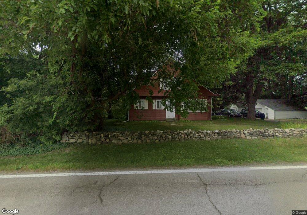
241 Dunlap Rd Oxford, MI 48371
Estimated Value: $367,000 - $479,000
3
Beds
2
Baths
2,702
Sq Ft
$159/Sq Ft
Est. Value
About This Home
This home is located at 241 Dunlap Rd, Oxford, MI 48371 and is currently estimated at $430,076, approximately $159 per square foot. 241 Dunlap Rd is a home located in Oakland County with nearby schools including Clear Lake Elementary School, Oxford Middle School, and Oxford High School.
Ownership History
Date
Name
Owned For
Owner Type
Purchase Details
Closed on
Apr 28, 2006
Sold by
Sirva Relocation Llc
Bought by
Crayner David W and Crayner Elizabeth
Current Estimated Value
Home Financials for this Owner
Home Financials are based on the most recent Mortgage that was taken out on this home.
Original Mortgage
$208,000
Interest Rate
6.39%
Mortgage Type
Purchase Money Mortgage
Purchase Details
Closed on
Jul 29, 1997
Sold by
Londer Glenn
Bought by
Rodenheber Robert
Create a Home Valuation Report for This Property
The Home Valuation Report is an in-depth analysis detailing your home's value as well as a comparison with similar homes in the area
Home Values in the Area
Average Home Value in this Area
Purchase History
| Date | Buyer | Sale Price | Title Company |
|---|---|---|---|
| Crayner David W | $260,000 | Stewart Title | |
| Sirva Relocation Llc | $260,000 | Stewart Title Guaranty Compa | |
| Rodenheber Robert | $205,000 | -- |
Source: Public Records
Mortgage History
| Date | Status | Borrower | Loan Amount |
|---|---|---|---|
| Previous Owner | Crayner David W | $208,000 |
Source: Public Records
Tax History Compared to Growth
Tax History
| Year | Tax Paid | Tax Assessment Tax Assessment Total Assessment is a certain percentage of the fair market value that is determined by local assessors to be the total taxable value of land and additions on the property. | Land | Improvement |
|---|---|---|---|---|
| 2024 | $1,802 | $130,460 | $0 | $0 |
| 2023 | $1,719 | $119,240 | $0 | $0 |
| 2022 | $2,660 | $110,800 | $0 | $0 |
| 2021 | $2,543 | $102,600 | $0 | $0 |
| 2020 | $1,624 | $98,630 | $0 | $0 |
| 2019 | $2,374 | $93,850 | $0 | $0 |
| 2018 | $2,329 | $86,490 | $0 | $0 |
| 2017 | $2,237 | $82,680 | $0 | $0 |
| 2016 | $2,232 | $77,830 | $0 | $0 |
| 2015 | -- | $74,680 | $0 | $0 |
| 2014 | -- | $71,930 | $0 | $0 |
| 2011 | -- | $69,010 | $0 | $0 |
Source: Public Records
Map
Nearby Homes
- 1531 Seymour Lake Rd
- 682 Westlake Ave
- 622 Westlake Ave
- 720 Marlayna Dr
- 822 Westlake Ave
- 1858 Sandy Shores Dr
- 1904 Sandy Shores Dr
- 1974 Sandy Shores Dr
- 1611 Harwood Dr
- 302 Tanview Dr
- 496 Overlook Dr
- 861 Seymour Lake Rd
- 372 Overlook Dr
- 1151 Cross St Unit 21
- 778 W Peninsula Ct
- 774 Keith St
- 967 Keith St
- 2060 W Drahner Rd
- 1170 Glass Lake Cir
- 224 Stony Lake Dr Unit 57
- 291 Dunlap Rd
- 291 Dunlap Rd
- 291 Dunlap Rd
- 291 Dunlap Rd
- 291 Dunlap Rd
- 291 Dunlap Rd
- 291 Dunlap Rd
- 311 Dunlap Rd
- 210 Oak Ridge Rd
- 230 Oak Ridge Rd
- 300 Dunlap Rd
- 250 Oak Ridge Rd
- 95 Dunlap Rd
- 180 Oak Ridge Rd
- 68 Dunlap Rd
- 1297 Oak Ridge Ct
- 1640 Seymour Lake Rd
- 1502 Seymour Lake Rd
- 1600 Seymour Lake Rd