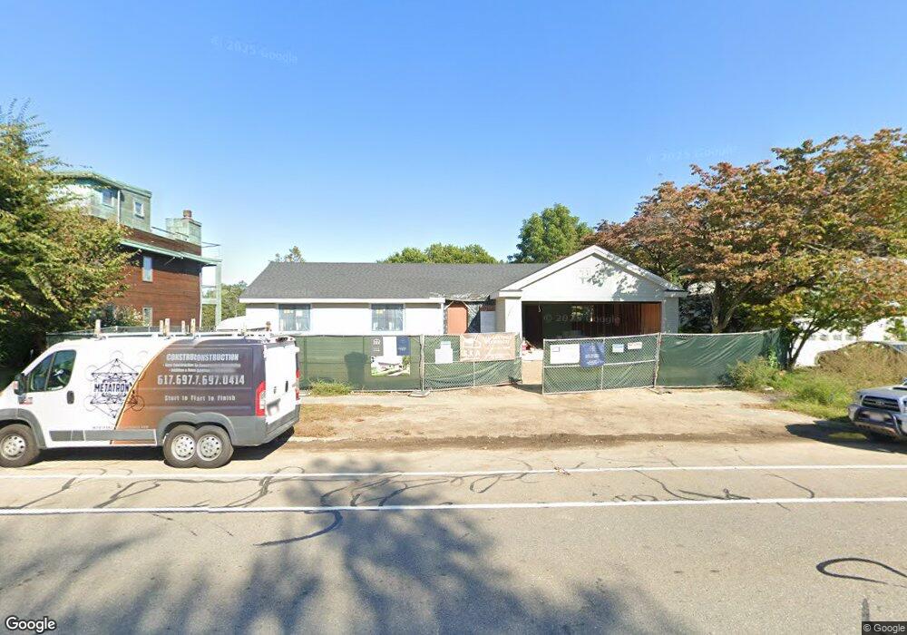
241 Grove St Cambridge, MA 02138
Strawberry Hill NeighborhoodEstimated Value: $2,286,000 - $3,482,000
3
Beds
3
Baths
2,352
Sq Ft
$1,288/Sq Ft
Est. Value
About This Home
This home is located at 241 Grove St, Cambridge, MA 02138 and is currently estimated at $3,029,450, approximately $1,288 per square foot. 241 Grove St is a home located in Middlesex County with nearby schools including Fayerweather Street School and Atrium School.
Ownership History
Date
Name
Owned For
Owner Type
Purchase Details
Closed on
Nov 5, 2021
Sold by
Mcnulty Rt
Bought by
J & P Grove Street Rt
Current Estimated Value
Home Financials for this Owner
Home Financials are based on the most recent Mortgage that was taken out on this home.
Original Mortgage
$1,155,000
Outstanding Balance
$1,056,731
Interest Rate
2.88%
Mortgage Type
Purchase Money Mortgage
Estimated Equity
$1,972,719
Create a Home Valuation Report for This Property
The Home Valuation Report is an in-depth analysis detailing your home's value as well as a comparison with similar homes in the area
Home Values in the Area
Average Home Value in this Area
Purchase History
| Date | Buyer | Sale Price | Title Company |
|---|---|---|---|
| J & P Grove Street Rt | $1,650,000 | None Available |
Source: Public Records
Mortgage History
| Date | Status | Borrower | Loan Amount |
|---|---|---|---|
| Open | J & P Grove Street Rt | $1,155,000 |
Source: Public Records
Tax History Compared to Growth
Tax History
| Year | Tax Paid | Tax Assessment Tax Assessment Total Assessment is a certain percentage of the fair market value that is determined by local assessors to be the total taxable value of land and additions on the property. | Land | Improvement |
|---|---|---|---|---|
| 2025 | $22,348 | $3,519,300 | $989,400 | $2,529,900 |
| 2024 | $10,751 | $1,816,000 | $918,700 | $897,300 |
| 2023 | $9,279 | $1,583,500 | $913,200 | $670,300 |
| 2022 | $8,473 | $1,431,300 | $838,100 | $593,200 |
| 2021 | $8,039 | $1,374,200 | $821,300 | $552,900 |
| 2020 | $7,688 | $1,337,000 | $813,200 | $523,800 |
| 2019 | $6,963 | $1,172,200 | $688,500 | $483,700 |
| 2018 | $6,824 | $1,084,900 | $623,500 | $461,400 |
| 2017 | $6,684 | $1,029,900 | $598,700 | $431,200 |
| 2016 | $6,380 | $912,700 | $513,800 | $398,900 |
| 2015 | $6,297 | $805,200 | $449,000 | $356,200 |
| 2014 | $6,330 | $755,400 | $404,100 | $351,300 |
Source: Public Records
Map
Nearby Homes
- 105 Watson Rd
- 118 Blanchard Rd
- 73 Foster Rd Unit 2
- 48 Concord Ave
- 36 Madison St
- 4 Merrill Ave
- 30 Unity Ave Unit 30
- 161 Cushing St
- 15 Sunset Rd
- 48 Hamilton Rd
- 46 Hamilton Rd
- 10 Marlboro St Unit 1
- 276 Belmont St Unit 1
- 95 Griswold St Unit 95
- 93 Griswold St Unit 93
- 163 Belmont St
- 95 Cushing St
- 147 Langdon Ave Unit 149
- 55 S Normandy Ave
- 23 Loomis St Unit 23