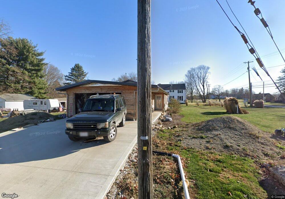
241 High St Dalton, OH 44618
Estimated Value: $145,000 - $241,000
2
Beds
2
Baths
480
Sq Ft
$391/Sq Ft
Est. Value
About This Home
This home is located at 241 High St, Dalton, OH 44618 and is currently estimated at $187,585, approximately $390 per square foot. 241 High St is a home with nearby schools including Dalton Elementary School, Dalton Middle School, and Dalton High School.
Ownership History
Date
Name
Owned For
Owner Type
Purchase Details
Closed on
Oct 23, 2019
Sold by
Yoder Stephen E
Bought by
Yoder Stephen E
Current Estimated Value
Purchase Details
Closed on
May 13, 2019
Sold by
Teece David W
Bought by
Yoder Stephen E
Purchase Details
Closed on
Apr 16, 2018
Sold by
Keyes Richard E and Keyes Barbara J
Bought by
Teece David W
Purchase Details
Closed on
Jan 12, 1994
Sold by
Yoder Daniel A and Yoder Kay K
Bought by
Yoder Kay K
Purchase Details
Closed on
Sep 28, 1988
Sold by
Fath Albert L and Fath Ann M
Bought by
Yoder Daniel A and Yoder Kay K
Purchase Details
Closed on
Aug 1, 1988
Sold by
Smith Clifford R and Smith Lorett
Bought by
Fath Albert L and Fath Ann M
Create a Home Valuation Report for This Property
The Home Valuation Report is an in-depth analysis detailing your home's value as well as a comparison with similar homes in the area
Purchase History
| Date | Buyer | Sale Price | Title Company |
|---|---|---|---|
| Yoder Stephen E | -- | -- | |
| Yoder Stephen E | $10,000 | None Available | |
| Teece David W | $90,200 | None Available | |
| Yoder Kay K | -- | -- | |
| Yoder Daniel A | -- | -- | |
| Fath Albert L | -- | -- |
Source: Public Records
Tax History
| Year | Tax Paid | Tax Assessment Tax Assessment Total Assessment is a certain percentage of the fair market value that is determined by local assessors to be the total taxable value of land and additions on the property. | Land | Improvement |
|---|---|---|---|---|
| 2025 | $1,155 | $43,250 | $15,940 | $27,310 |
| 2024 | $1,155 | $40,510 | $15,940 | $24,570 |
| 2023 | $1,082 | $40,510 | $15,940 | $24,570 |
| 2022 | $828 | $29,060 | $12,260 | $16,800 |
| 2021 | $961 | $22,790 | $12,260 | $10,530 |
| 2020 | $1,148 | $26,880 | $16,350 | $10,530 |
| 2019 | $115 | $2,770 | $2,770 | $0 |
| 2018 | $116 | $2,770 | $2,770 | $0 |
| 2017 | $110 | $2,770 | $2,770 | $0 |
| 2016 | $108 | $2,660 | $2,660 | $0 |
| 2015 | $106 | $2,660 | $2,660 | $0 |
| 2014 | $107 | $2,660 | $2,660 | $0 |
| 2013 | $172 | $4,190 | $4,190 | $0 |
Source: Public Records
Map
Nearby Homes
- 0 Dalton Fox Lake Rd
- 268 N Church St
- 527 W Main St
- 907 Mount Eaton Rd N
- 209 Greenbriar Ln
- 15269 Arnold Rd
- 0 Deerfield Ave NW Unit 5200020
- 61 Hillside Dr
- 13969 N Highview Dr
- 1101 Princehorn Ave NW
- 2186 Woodline Ave SW
- 71 S Kohler Rd
- 1220 Ben Fulton Ave NW
- 3001 Ben Fulton Ave NW
- 0 Manchester Ave NW Unit 5196202
- 14849 Penford St NW
- 742 Homestead Pointe Dr
- 734 Homestead Pointe Dr
- 13154 Sinclair St SW
- 1035 Lanedale St NW
Your Personal Tour Guide
Ask me questions while you tour the home.