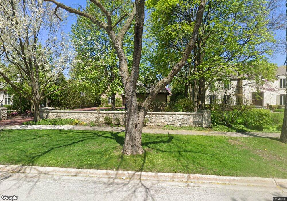
241 Maple Hill Rd Glencoe, IL 60022
Estimated Value: $2,635,984 - $2,839,000
5
Beds
7
Baths
4,663
Sq Ft
$590/Sq Ft
Est. Value
About This Home
This home is located at 241 Maple Hill Rd, Glencoe, IL 60022 and is currently estimated at $2,752,661, approximately $590 per square foot. 241 Maple Hill Rd is a home located in Cook County with nearby schools including South Elementary School, West School, and Central School.
Ownership History
Date
Name
Owned For
Owner Type
Purchase Details
Closed on
Jul 30, 2012
Sold by
Learner Pamela B
Bought by
Ruzumna Paul A and Ruzumna Jennifer A
Current Estimated Value
Home Financials for this Owner
Home Financials are based on the most recent Mortgage that was taken out on this home.
Original Mortgage
$1,331,250
Outstanding Balance
$892,172
Interest Rate
3.29%
Mortgage Type
Adjustable Rate Mortgage/ARM
Estimated Equity
$1,860,489
Purchase Details
Closed on
Jul 1, 1998
Sold by
Lasalle National Bank
Bought by
Learner Pamela B
Create a Home Valuation Report for This Property
The Home Valuation Report is an in-depth analysis detailing your home's value as well as a comparison with similar homes in the area
Home Values in the Area
Average Home Value in this Area
Purchase History
| Date | Buyer | Sale Price | Title Company |
|---|---|---|---|
| Ruzumna Paul A | $1,775,000 | Cti | |
| Learner Pamela B | $550,000 | -- |
Source: Public Records
Mortgage History
| Date | Status | Borrower | Loan Amount |
|---|---|---|---|
| Open | Ruzumna Paul A | $1,331,250 |
Source: Public Records
Tax History
| Year | Tax Paid | Tax Assessment Tax Assessment Total Assessment is a certain percentage of the fair market value that is determined by local assessors to be the total taxable value of land and additions on the property. | Land | Improvement |
|---|---|---|---|---|
| 2025 | $41,617 | $222,000 | $32,160 | $189,840 |
| 2024 | $41,617 | $173,214 | $35,376 | $137,838 |
| 2023 | $38,830 | $173,214 | $35,376 | $137,838 |
| 2022 | $38,830 | $173,214 | $35,376 | $137,838 |
| 2021 | $41,333 | $147,499 | $33,768 | $113,731 |
| 2020 | $43,812 | $160,508 | $33,768 | $126,740 |
| 2019 | $41,834 | $172,590 | $33,768 | $138,822 |
| 2018 | $40,467 | $162,622 | $28,944 | $133,678 |
| 2017 | $39,329 | $162,622 | $28,944 | $133,678 |
| 2016 | $42,147 | $184,259 | $28,944 | $155,315 |
| 2015 | $41,764 | $162,081 | $24,522 | $137,559 |
| 2014 | $45,365 | $177,594 | $24,522 | $153,072 |
| 2013 | $43,273 | $177,594 | $24,522 | $153,072 |
Source: Public Records
Map
Nearby Homes
- 130 Rockgate Ln
- 130 Maple Hill Rd
- 1076 Old Elm Ln
- 1077 Green Bay Rd
- 1020 Bluff Rd
- 794 Greenwood Ave
- 396 Forest Edge Dr
- 1036 Elm Ridge Dr
- 677 Greenleaf Ave
- 735 Grove St
- 1180 Oak Ridge Dr
- 908 Elm Place
- 476 Park Ave
- 488 Park Ave
- 1106 Hohlfelder Rd
- 55 S Deere Park Dr
- 808 Prairie Rd
- 378 South Ave
- 759 Strawberry Hill Dr
- 754 Woodridge Ln
- 235 Maple Hill Rd
- 259 Maple Hill Rd
- 254 Franklin Rd
- 252 Franklin Rd
- 225 Maple Hill Rd
- 250 Franklin Rd
- 258 Maple Hill Rd
- 246 Maple Hill Rd
- 248 Franklin Rd
- 976 Oak Terrace
- 238 Maple Hill Rd
- 234 Maple Hill Rd
- 262 Maple Hill Rd
- 1001 Meadow Rd
- 246 Franklin Rd
- 261 Franklin Rd
- 990 Forest Ave
- 257 Franklin Rd
- 222 Maple Hill Rd
- 211 Maple Hill Rd
Your Personal Tour Guide
Ask me questions while you tour the home.