241 Mcmurray Rd Unit 68 Rutherfordton, NC 28139
Estimated Value: $592,000 - $882,000
3
Beds
2
Baths
2,052
Sq Ft
$340/Sq Ft
Est. Value
About This Home
This home is located at 241 Mcmurray Rd Unit 68, Rutherfordton, NC 28139 and is currently estimated at $697,805, approximately $340 per square foot. 241 Mcmurray Rd Unit 68 is a home located in Polk County.
Ownership History
Date
Name
Owned For
Owner Type
Purchase Details
Closed on
Aug 9, 2017
Sold by
Holloway Joseph James and Holloway Shirley W
Bought by
Cranford Wendy R
Current Estimated Value
Home Financials for this Owner
Home Financials are based on the most recent Mortgage that was taken out on this home.
Original Mortgage
$400,804
Outstanding Balance
$335,070
Interest Rate
4.03%
Mortgage Type
VA
Estimated Equity
$362,735
Purchase Details
Closed on
May 29, 2003
Bought by
Holloway Joseph James
Purchase Details
Closed on
Dec 31, 1997
Bought by
Holloway Joseph James
Create a Home Valuation Report for This Property
The Home Valuation Report is an in-depth analysis detailing your home's value as well as a comparison with similar homes in the area
Home Values in the Area
Average Home Value in this Area
Purchase History
| Date | Buyer | Sale Price | Title Company |
|---|---|---|---|
| Cranford Wendy R | $388,000 | None Available | |
| Holloway Joseph James | $58,000 | -- | |
| Holloway Joseph James | -- | -- |
Source: Public Records
Mortgage History
| Date | Status | Borrower | Loan Amount |
|---|---|---|---|
| Open | Cranford Wendy R | $400,804 |
Source: Public Records
Tax History Compared to Growth
Tax History
| Year | Tax Paid | Tax Assessment Tax Assessment Total Assessment is a certain percentage of the fair market value that is determined by local assessors to be the total taxable value of land and additions on the property. | Land | Improvement |
|---|---|---|---|---|
| 2025 | $2,727 | $513,100 | $191,480 | $321,620 |
| 2024 | $2,393 | $369,208 | $121,280 | $247,928 |
| 2023 | $2,356 | $369,208 | $121,280 | $247,928 |
| 2022 | $2,317 | $369,208 | $121,280 | $247,928 |
| 2021 | $2,244 | $369,208 | $121,280 | $247,928 |
| 2020 | $2,064 | $320,007 | $121,280 | $198,727 |
| 2019 | $2,064 | $320,007 | $121,280 | $198,727 |
| 2018 | $1,936 | $320,007 | $121,280 | $198,727 |
| 2017 | $1,872 | $285,046 | $77,160 | $207,886 |
| 2016 | $1,692 | $285,046 | $77,160 | $207,886 |
| 2015 | $1,594 | $0 | $0 | $0 |
| 2014 | $1,594 | $0 | $0 | $0 |
| 2013 | -- | $0 | $0 | $0 |
Source: Public Records
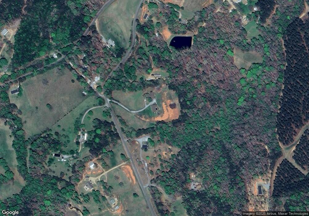
Map
Nearby Homes
- 4888 Poors Ford Rd Unit SR
- 582 County Line Rd
- 3744 Poors Ford Rd
- 000 County Line Rd
- 0 County Line Rd
- 1305 County Line Rd
- 49 Meadowbrook Rd
- 1896 E Green Creek Dr
- 265 Phillip Henderson Rd
- 450 Big Gum Ct Unit 452
- 4830 Chesnee Rd
- 1343 Solen Williams Rd
- 0 Prince Rd Unit Lot 4 CAR4217750
- 0 Prince Rd Unit 1546693
- 185 Robinson Acres Ln
- 0 E Green Creek Dr
- 256 Honey Wagon Dr
- 3080 Ken Miller Rd
- 00 Chesnee Rd
- V/L W V Thompson Rd Unit 4
- 241 Mcmurray Rd
- 281 Mcmurray Rd
- 4719 Poors Ford Rd Unit SR
- 4532 Poors Ford Rd
- 4532 Poors Ford Rd Unit SR
- 159 Mcmurray Rd
- 341 Mcmurray Rd
- 304 Mcmurray Rd Unit SR
- 242 Mcmurray Rd Unit SR
- 4756 Poors Ford Rd
- 4447 Poors Ford Rd
- 9999 Mcmurray Rd
- 0 Stacy Rd Unit NCM489102
- 0 Stacy Rd Unit NCM523994
- Lot 4 County Line Rd Unit 4
- 4378 Poors Ford Rd
- 4378 Poors Ford Rd
- 2040 Lee Cudd Rd Unit SR
- 1303 County Line Rd
- 2025 Lee Cudd Rd