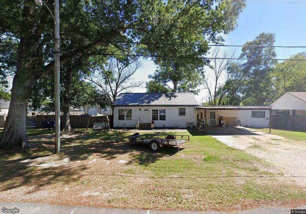
241 Mustang St Sulphur, LA 70663
Estimated Value: $130,000 - $167,000
3
Beds
2
Baths
1,713
Sq Ft
$87/Sq Ft
Est. Value
About This Home
This home is located at 241 Mustang St, Sulphur, LA 70663 and is currently estimated at $148,987, approximately $86 per square foot. 241 Mustang St is a home located in Calcasieu Parish with nearby schools including W.T. Henning Elementary School, W.W. Lewis Middle School, and Sulphur High School.
Ownership History
Date
Name
Owned For
Owner Type
Purchase Details
Closed on
Jul 25, 2013
Sold by
Cole Aaron Barton and Cole Kristi Layne
Bought by
Wheat Erick Kane and Wheat Brittany Erin
Current Estimated Value
Home Financials for this Owner
Home Financials are based on the most recent Mortgage that was taken out on this home.
Original Mortgage
$108,007
Outstanding Balance
$78,769
Interest Rate
3.99%
Mortgage Type
FHA
Estimated Equity
$70,218
Create a Home Valuation Report for This Property
The Home Valuation Report is an in-depth analysis detailing your home's value as well as a comparison with similar homes in the area
Home Values in the Area
Average Home Value in this Area
Purchase History
| Date | Buyer | Sale Price | Title Company |
|---|---|---|---|
| Wheat Erick Kane | $110,000 | None Available |
Source: Public Records
Mortgage History
| Date | Status | Borrower | Loan Amount |
|---|---|---|---|
| Open | Wheat Erick Kane | $108,007 |
Source: Public Records
Tax History Compared to Growth
Tax History
| Year | Tax Paid | Tax Assessment Tax Assessment Total Assessment is a certain percentage of the fair market value that is determined by local assessors to be the total taxable value of land and additions on the property. | Land | Improvement |
|---|---|---|---|---|
| 2024 | $462 | $10,650 | $2,700 | $7,950 |
| 2023 | $462 | $10,650 | $2,700 | $7,950 |
| 2022 | $460 | $10,650 | $2,700 | $7,950 |
| 2021 | $290 | $10,650 | $2,700 | $7,950 |
| 2020 | $1,039 | $9,750 | $2,590 | $7,160 |
| 2019 | $1,127 | $10,450 | $2,500 | $7,950 |
| 2018 | $439 | $10,450 | $2,500 | $7,950 |
| 2017 | $1,171 | $10,450 | $2,500 | $7,950 |
| 2016 | $1,156 | $10,450 | $2,500 | $7,950 |
| 2015 | $732 | $6,320 | $2,500 | $3,820 |
Source: Public Records
Map
Nearby Homes
- 509 Henning Dr
- 623 Mustang St
- 641 Starlin Dr Unit 498
- 0 Eddie St Unit SWL24005544
- 0 Eddie St Unit SWL23005682
- 1641 Eddie St
- 1713 Ewel St
- 740 Starlin Dr
- 1605 Ruth St
- 217 Darbonne St
- 112 Darbonne St
- 0 Thomason St
- 319 Landry St
- 300 Mathilda Dr
- 1305 Francis St
- 1339 W Kent Dr
- 400 Landry St
- 321 W Parish Rd
- 900 Mathilda Dr
- 284 E Roddam St
- 231 Mustang St
- 201 1/2 Mustang St
- 240 Mustang St
- 350 Invader St
- 260 Mustang St
- 321 Mustang St
- 220 Mustang St
- 201 Mustang St
- 300 Mustang St
- 320 Mustang St
- 341 Mustang St
- 200 Mustang St
- 199 Mustang St
- 114 S Mitchell St
- 340 Mustang St
- 123 S Mitchell St
- 123 S Hudson St
- 198 Mustang St
- 361 Mustang St
- 358 Invader St