241 SE 563 Dr Locust Grove, OK 74352
Estimated Value: $285,000 - $373,794
3
Beds
2
Baths
1,599
Sq Ft
$206/Sq Ft
Est. Value
About This Home
This home is located at 241 SE 563 Dr, Locust Grove, OK 74352 and is currently estimated at $329,397, approximately $206 per square foot. 241 SE 563 Dr is a home with nearby schools including Locust Grove Early Lrning Center, Locust Grove Upper Elementary School, and Locust Grove Middle School.
Ownership History
Date
Name
Owned For
Owner Type
Purchase Details
Closed on
Jan 22, 2015
Sold by
Carney Joseph D and Carney Kelli Ann
Bought by
Carney Joseph D and Carney Kelli Ann
Current Estimated Value
Create a Home Valuation Report for This Property
The Home Valuation Report is an in-depth analysis detailing your home's value as well as a comparison with similar homes in the area
Home Values in the Area
Average Home Value in this Area
Purchase History
| Date | Buyer | Sale Price | Title Company |
|---|---|---|---|
| Carney Joseph D | -- | None Available |
Source: Public Records
Tax History Compared to Growth
Tax History
| Year | Tax Paid | Tax Assessment Tax Assessment Total Assessment is a certain percentage of the fair market value that is determined by local assessors to be the total taxable value of land and additions on the property. | Land | Improvement |
|---|---|---|---|---|
| 2025 | $2,911 | $33,266 | $3,988 | $29,278 |
| 2024 | $2,911 | $32,298 | $3,872 | $28,426 |
| 2023 | $2,911 | $31,358 | $3,725 | $27,633 |
| 2022 | $2,148 | $24,807 | $2,974 | $21,833 |
| 2021 | $2,127 | $24,084 | $2,929 | $21,155 |
| 2020 | $2,093 | $23,383 | $2,689 | $20,694 |
| 2019 | $2,032 | $22,702 | $785 | $21,917 |
| 2018 | $2,073 | $22,702 | $785 | $21,917 |
| 2017 | $2,074 | $22,702 | $785 | $21,917 |
| 2016 | $2,025 | $22,702 | $785 | $21,917 |
| 2015 | $76 | $785 | $785 | $0 |
Source: Public Records
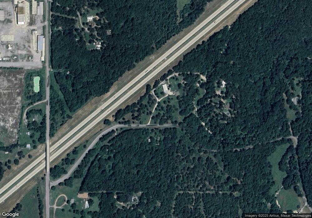
Map
Nearby Homes
- 6959 E 561 Rd
- TBD SE 575
- 11366 U S 412
- 0 443 Unit 2440616
- 9212 S 443 Rd
- 5545 E 412
- 12809 E Highway 412
- 0 Hwy 82 S Unit 2503331
- 57 Joe Koelsch Dr
- 815 S Cherokee St
- 715 S Cherokee St
- 608 S Cherokee St
- 00 Hill St
- 51 Covey Rd
- 6164 E 578
- 8604 S County Road 4468
- 301 S Water St
- 173 Dove Rd
- 415 N Broadway
- 212 N Mayes St
- 182 SE 563 Dr
- 7005 S 443
- 7405 S 443
- 7200 S 443
- 7431 S 443
- 9490 E Highway 412
- 686 SE 563 Dr
- 9579 E Highway 412
- 8220 E 566 Rd
- 8211 E 566 Rd
- 9393 E Highway 412
- 8068 E 566 Rd
- 12353 E Highway 412
- 9332 E Highway 412
- 9330 E Highway 412
- 8290 E 566 Rd
- 8301 E 566 Rd
- 9328 E Highway 412
- 7689 S 443
- 8314 E 566 Rd