241 Ship Pond Rd Plymouth, MA 02360
Estimated Value: $598,568 - $644,000
3
Beds
2
Baths
1,632
Sq Ft
$379/Sq Ft
Est. Value
About This Home
This home is located at 241 Ship Pond Rd, Plymouth, MA 02360 and is currently estimated at $618,392, approximately $378 per square foot. 241 Ship Pond Rd is a home located in Plymouth County with nearby schools including Indian Brook, Plymouth South Middle School, and Plymouth South High School.
Ownership History
Date
Name
Owned For
Owner Type
Purchase Details
Closed on
Jan 1, 1985
Bought by
Luce Jeffrey P and Luce Linda L
Current Estimated Value
Create a Home Valuation Report for This Property
The Home Valuation Report is an in-depth analysis detailing your home's value as well as a comparison with similar homes in the area
Home Values in the Area
Average Home Value in this Area
Purchase History
| Date | Buyer | Sale Price | Title Company |
|---|---|---|---|
| Luce Jeffrey P | -- | -- |
Source: Public Records
Mortgage History
| Date | Status | Borrower | Loan Amount |
|---|---|---|---|
| Open | Luce Jeffrey P | $232,000 | |
| Closed | Luce Jeffrey P | $44,000 | |
| Closed | Luce Jeffrey P | $40,000 |
Source: Public Records
Tax History Compared to Growth
Tax History
| Year | Tax Paid | Tax Assessment Tax Assessment Total Assessment is a certain percentage of the fair market value that is determined by local assessors to be the total taxable value of land and additions on the property. | Land | Improvement |
|---|---|---|---|---|
| 2025 | $6,259 | $493,200 | $222,100 | $271,100 |
| 2024 | $5,864 | $455,600 | $203,100 | $252,500 |
| 2023 | $5,639 | $411,300 | $184,100 | $227,200 |
| 2022 | $5,053 | $327,500 | $173,300 | $154,200 |
| 2021 | $5,006 | $309,800 | $173,300 | $136,500 |
| 2020 | $4,786 | $292,700 | $158,300 | $134,400 |
| 2019 | $4,691 | $283,600 | $148,300 | $135,300 |
| 2018 | $4,573 | $277,800 | $138,300 | $139,500 |
| 2017 | $4,424 | $266,800 | $138,300 | $128,500 |
| 2016 | $4,198 | $258,000 | $128,300 | $129,700 |
| 2015 | $3,949 | $254,100 | $123,300 | $130,800 |
| 2014 | $3,855 | $254,800 | $123,300 | $131,500 |
Source: Public Records
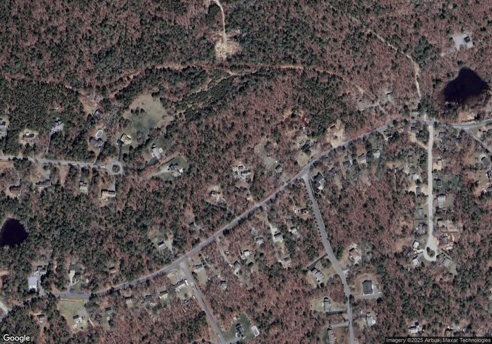
Map
Nearby Homes
- 35 Nautical Way
- 30 Nautical Way
- 35 Trask Rd
- 451 Ship Pond Rd
- 5 Trask Rd
- 47 Pleasant Harbour Rd
- 12 Mayflower Dr
- 475 Ship Pond Rd
- 43 Pond View Cir
- 107 Shore Dr
- 32 Shore Dr
- 26 Goelette Dr
- 11 Ellisville Dr
- 68 Ellisville Dr
- 40 Drum Dr Unit 40
- 24 Drum Dr Unit 24
- 9 Kingston Rd
- 83 Miter Dr Unit 6-3
- 81 Miter Dr Unit 7-1
- 91 Miter Dr Unit 18-1
- 229 Ship Pond Rd
- 275 Ship Pond Rd
- 00 Nautical Way
- 0000 Nautical Way
- 000 Nautical Way
- 209 Ship Pond Rd
- 260 Ship Pond Rd
- 230 Ship Pond Rd
- 240 Ship Pond Rd
- 250 Ship Pond Rd
- 210 Ship Pond Rd
- 295 Ship Pond Rd
- 270 Ship Pond Rd
- 79 Bayden Path
- 200 Ship Pond Rd
- 280 Ship Pond Rd
- 80 Bayden Path
- 190 Ship Pond Rd
- 300 Ship Pond Rd
- 290 Ship Pond Rd