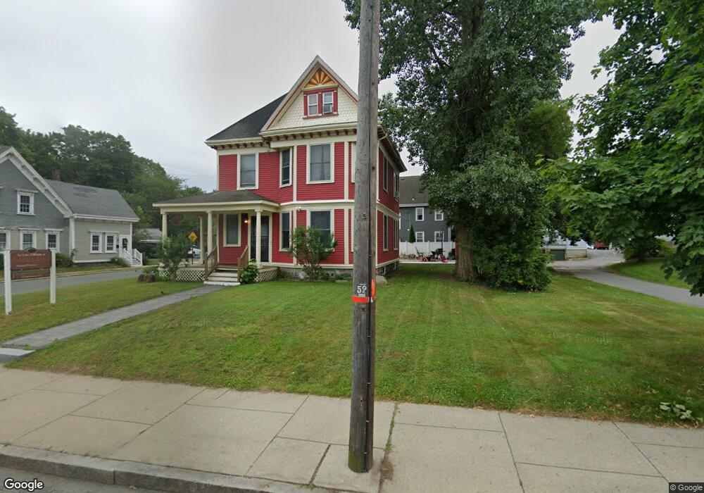
241 South Ave Unit 1 Whitman, MA 02382
Estimated Value: $636,995 - $790,000
2
Beds
1
Bath
950
Sq Ft
$768/Sq Ft
Est. Value
About This Home
This home is located at 241 South Ave Unit 1, Whitman, MA 02382 and is currently estimated at $729,749, approximately $768 per square foot. 241 South Ave Unit 1 is a home located in Plymouth County with nearby schools including St Bridget School.
Ownership History
Date
Name
Owned For
Owner Type
Purchase Details
Closed on
Dec 19, 2001
Sold by
Flanagan W James
Bought by
Kral Patricia M
Current Estimated Value
Purchase Details
Closed on
Jul 12, 1989
Sold by
Sullivan Kevin J
Bought by
Thornton Gary E
Create a Home Valuation Report for This Property
The Home Valuation Report is an in-depth analysis detailing your home's value as well as a comparison with similar homes in the area
Home Values in the Area
Average Home Value in this Area
Purchase History
| Date | Buyer | Sale Price | Title Company |
|---|---|---|---|
| Kral Patricia M | $335,000 | -- | |
| Thornton Gary E | $167,500 | -- |
Source: Public Records
Mortgage History
| Date | Status | Borrower | Loan Amount |
|---|---|---|---|
| Open | Thornton Gary E | $370,000 | |
| Closed | Thornton Gary E | $40,000 |
Source: Public Records
Tax History Compared to Growth
Tax History
| Year | Tax Paid | Tax Assessment Tax Assessment Total Assessment is a certain percentage of the fair market value that is determined by local assessors to be the total taxable value of land and additions on the property. | Land | Improvement |
|---|---|---|---|---|
| 2025 | $7,575 | $577,400 | $187,300 | $390,100 |
| 2024 | $7,087 | $556,300 | $183,400 | $372,900 |
| 2023 | $6,876 | $506,700 | $167,900 | $338,800 |
| 2022 | $6,698 | $460,000 | $152,500 | $307,500 |
| 2021 | $6,434 | $415,100 | $128,400 | $286,700 |
| 2020 | $6,395 | $403,500 | $116,800 | $286,700 |
| 2019 | $5,275 | $343,000 | $116,800 | $226,200 |
| 2018 | $5,099 | $318,500 | $111,000 | $207,500 |
| 2017 | $4,583 | $303,900 | $111,000 | $192,900 |
| 2016 | $4,495 | $288,300 | $101,300 | $187,000 |
| 2015 | $4,338 | $277,900 | $101,300 | $176,600 |
Source: Public Records
Map
Nearby Homes
- 110 South Ave Unit 14
- 110 South Ave
- 48 Day St
- 20 Elm Place
- 532 Washington St
- 23 Reed Place
- 53 Temple St
- 170 Pleasant St
- 135-137 Temple St
- 63 Dewey Ave
- 150 Harvard St
- 35 Dana St
- 159 Auburn St
- 214 Winter St
- 164 Warren Ave
- 684 South Ave
- 608 Plymouth St
- 22 Old Coach Rd
- 154 Auburn St
- 604 Bedford St Unit 5