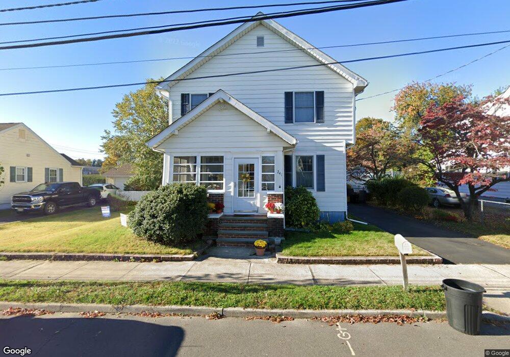
241 Steward St Trenton, NJ 08610
Estimated Value: $323,000 - $498,000
--
Bed
--
Bath
2,276
Sq Ft
$185/Sq Ft
Est. Value
About This Home
This home is located at 241 Steward St, Trenton, NJ 08610 and is currently estimated at $420,130, approximately $184 per square foot. 241 Steward St is a home located in Mercer County with nearby schools including Kuser Elementary School, Emily C. Reynolds Middle School, and Steinert - Hamilton High East.
Ownership History
Date
Name
Owned For
Owner Type
Purchase Details
Closed on
Mar 23, 2018
Sold by
Fares Marie E and Fares Marie E
Bought by
Santini Frank and Fares Santini Marie E
Current Estimated Value
Home Financials for this Owner
Home Financials are based on the most recent Mortgage that was taken out on this home.
Original Mortgage
$144,000
Outstanding Balance
$42,127
Interest Rate
4.4%
Mortgage Type
New Conventional
Estimated Equity
$378,003
Purchase Details
Closed on
Jul 8, 1983
Bought by
Santini Frank and Fares Marie E
Create a Home Valuation Report for This Property
The Home Valuation Report is an in-depth analysis detailing your home's value as well as a comparison with similar homes in the area
Home Values in the Area
Average Home Value in this Area
Purchase History
| Date | Buyer | Sale Price | Title Company |
|---|---|---|---|
| Santini Frank | -- | None Available | |
| Santini Frank | $49,900 | -- |
Source: Public Records
Mortgage History
| Date | Status | Borrower | Loan Amount |
|---|---|---|---|
| Open | Santini Frank | $144,000 |
Source: Public Records
Tax History Compared to Growth
Tax History
| Year | Tax Paid | Tax Assessment Tax Assessment Total Assessment is a certain percentage of the fair market value that is determined by local assessors to be the total taxable value of land and additions on the property. | Land | Improvement |
|---|---|---|---|---|
| 2025 | $7,841 | $222,500 | $50,400 | $172,100 |
| 2024 | $7,349 | $222,500 | $50,400 | $172,100 |
| 2023 | $7,349 | $222,500 | $50,400 | $172,100 |
| 2022 | $7,233 | $222,500 | $50,400 | $172,100 |
| 2021 | $8,306 | $222,500 | $50,400 | $172,100 |
| 2020 | $7,505 | $222,500 | $50,400 | $172,100 |
| 2019 | $7,309 | $222,500 | $50,400 | $172,100 |
| 2018 | $7,227 | $222,500 | $50,400 | $172,100 |
| 2017 | $6,857 | $222,500 | $50,400 | $172,100 |
| 2016 | $6,125 | $226,500 | $54,400 | $172,100 |
| 2015 | $7,230 | $148,800 | $39,000 | $109,800 |
| 2014 | $7,114 | $148,800 | $39,000 | $109,800 |
Source: Public Records
Map
Nearby Homes
- 61 Leuckel Ave
- 20 Leuckel Ave
- 25 Brook Ln
- 144 Beal St
- 125 Edwin Ave
- 51 Charlotte Ave
- 1427 Hamilton Ave
- 20 Charlotte Ave
- 235 Darcy Ave
- 176 Pope Ave
- 127 Bentley Ave
- 618 Atlantic Ave
- 1524 Elizabeth Ave
- 448 Lynwood Ave
- 480 S Logan Ave
- 657 S Olden Ave
- 631 S Olden Ave
- 90 Sundance Dr
- 26 Benson Ave
- 541 Emmett Ave
- 233 Steward St
- 251 Steward St
- 190 Leonard Ave
- 231 Steward St
- 225 Steward St
- 246 Steward St
- 180 Leonard Ave
- 238 Steward St
- 252 Steward St
- 226 Steward St
- 219 Steward St
- 170 Leonard Ave
- 457 Miller Ave
- 463 Miller Ave
- 211 Steward St
- 503 Miller Ave
- 242 Leonard Ave
- 164 Leonard Ave
- 511 Miller Ave
- 156 Leonard Ave