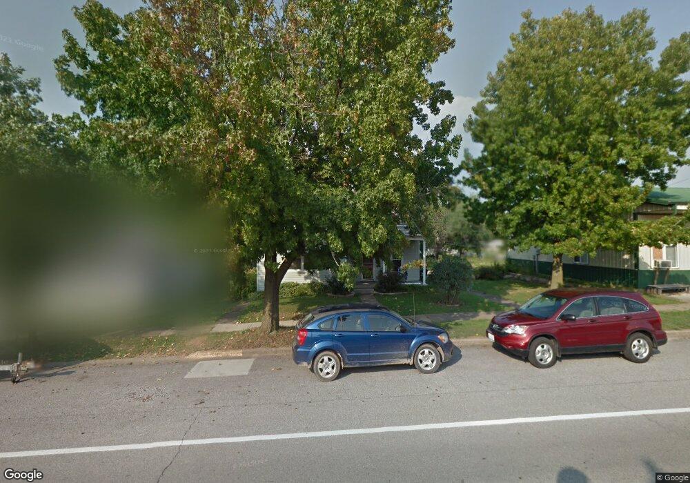
241 W Lane St Equality, IL 62934
Estimated Value: $53,222 - $93,000
Studio
--
Bath
--
Sq Ft
10,803
Sq Ft Lot
About This Home
This home is located at 241 W Lane St, Equality, IL 62934 and is currently estimated at $74,407. 241 W Lane St is a home with nearby schools including Gallatin Elementary School, Gallatin Junior High School, and Gallatin High School.
Ownership History
Date
Name
Owned For
Owner Type
Purchase Details
Closed on
Aug 27, 2015
Sold by
Wargel Anthony G and Wargel Michelle L
Bought by
Gary Patrick E and Gary Janice Patrick
Current Estimated Value
Home Financials for this Owner
Home Financials are based on the most recent Mortgage that was taken out on this home.
Original Mortgage
$30,800
Outstanding Balance
$24,298
Interest Rate
4.04%
Mortgage Type
New Conventional
Estimated Equity
$50,109
Purchase Details
Closed on
Nov 17, 2008
Bought by
Wargel Anthony Garrett and Michelle Lee
Create a Home Valuation Report for This Property
The Home Valuation Report is an in-depth analysis detailing your home's value as well as a comparison with similar homes in the area
Purchase History
| Date | Buyer | Sale Price | Title Company |
|---|---|---|---|
| Gary Patrick E | $38,500 | Attorney Only | |
| Wargel Anthony Garrett | $11,000 | -- |
Source: Public Records
Mortgage History
| Date | Status | Borrower | Loan Amount |
|---|---|---|---|
| Open | Gary Patrick E | $30,800 |
Source: Public Records
Tax History
| Year | Tax Paid | Tax Assessment Tax Assessment Total Assessment is a certain percentage of the fair market value that is determined by local assessors to be the total taxable value of land and additions on the property. | Land | Improvement |
|---|---|---|---|---|
| 2024 | $499 | $11,722 | $1,786 | $9,936 |
| 2023 | $411 | $11,722 | $1,786 | $9,936 |
| 2022 | $425 | $11,164 | $1,701 | $9,463 |
| 2021 | $40 | $10,945 | $1,668 | $9,277 |
| 2020 | $389 | $11,056 | $1,685 | $9,371 |
| 2019 | $391 | $11,056 | $1,685 | $9,371 |
| 2018 | $393 | $10,703 | $1,631 | $9,072 |
| 2017 | $388 | $9,910 | $1,510 | $8,400 |
| 2015 | $180 | $8,382 | $1,396 | $6,986 |
| 2014 | $180 | $8,382 | $1,396 | $6,986 |
| 2013 | $178 | $8,382 | $1,396 | $6,986 |
| 2012 | -- | $7,871 | $1,311 | $6,560 |
Source: Public Records
Map
Nearby Homes
- 000 N Shawnee Hills Rd
- 0000 W Davis St
- 967 N Bunker St
- 2005 Dog Walk Rd
- 3485 Coyle Ln
- 00 Kedron Rd
- 1810 Highway 142 S
- ooo Moore St
- 000 Briddick St
- 1100 Moore St
- 802 Dillard St
- 280 Highway 142 S
- 828 Elder St
- 1213 U S 45
- 851 Madison St
- 1604 and 1600 Mahoney St
- 858 Benton St
- 000 Stoneface Rd
- 1105 Organ St
- 1300 Lincoln St
- 255 W Lane St
- 235 W Lane St
- 271 W Lane St
- 293 W Lane St
- 250 W Clinton St
- 248 Clinton St
- 315 W Lane St
- 220 W Clinton St
- 335 W Lane St
- 154 W Clinton St
- 119 S Van Buren St
- 330 W Lane St
- 166 W Lane St
- 161 N McDuffy St
- 211 W Clinton St
- 345 W Lane St
- 326 W Clinton St
- 320 W Oak St
- 179 W Clinton St
- 247 W Clinton St
Your Personal Tour Guide
Ask me questions while you tour the home.