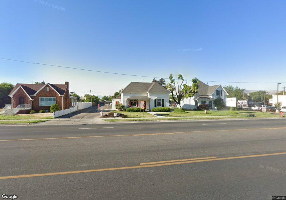
241 W Main St American Fork, UT 84003
3
Beds
1
Bath
1,649
Sq Ft
0.74
Acres
About This Home
This home is located at 241 W Main St, American Fork, UT 84003. 241 W Main St is a home located in Utah County with nearby schools including Greenwood Elementary School, American Fork Junior High School, and American Fork High School.
Ownership History
Date
Name
Owned For
Owner Type
Purchase Details
Closed on
Apr 16, 2013
Sold by
Vanwagenen Michael and Vanwagenen Christine
Bought by
Rbd Investments Llc
Purchase Details
Closed on
Apr 29, 2005
Sold by
Vanwagenen Michael
Bought by
Vanwagenen Michael and Vanwagenen Christine
Home Financials for this Owner
Home Financials are based on the most recent Mortgage that was taken out on this home.
Original Mortgage
$232,500
Interest Rate
6.02%
Mortgage Type
Commercial
Purchase Details
Closed on
Jan 19, 1999
Sold by
Beighley Jack Richard and Beighley Thelma
Bought by
Watts Karen N
Home Financials for this Owner
Home Financials are based on the most recent Mortgage that was taken out on this home.
Original Mortgage
$162,275
Interest Rate
6.63%
Mortgage Type
Commercial
Create a Home Valuation Report for This Property
The Home Valuation Report is an in-depth analysis detailing your home's value as well as a comparison with similar homes in the area
Home Values in the Area
Average Home Value in this Area
Purchase History
| Date | Buyer | Sale Price | Title Company |
|---|---|---|---|
| Rbd Investments Llc | -- | Title West | |
| Vanwagenen Michael | -- | Provo Land Title Co | |
| Vanwagenen Michael | -- | Provo Land Title Co | |
| Watts Karen N | -- | Timp Title Insurance Agency |
Source: Public Records
Mortgage History
| Date | Status | Borrower | Loan Amount |
|---|---|---|---|
| Previous Owner | Vanwagenen Michael | $232,500 | |
| Previous Owner | Watts Karen N | $162,275 |
Source: Public Records
Tax History Compared to Growth
Tax History
| Year | Tax Paid | Tax Assessment Tax Assessment Total Assessment is a certain percentage of the fair market value that is determined by local assessors to be the total taxable value of land and additions on the property. | Land | Improvement |
|---|---|---|---|---|
| 2025 | $6,870 | $1,015,800 | $817,700 | $198,100 |
| 2024 | $6,870 | $763,300 | $0 | $0 |
| 2023 | $6,400 | $753,900 | $0 | $0 |
| 2022 | $6,324 | $735,200 | $621,800 | $113,400 |
| 2021 | $3,954 | $394,900 | $339,900 | $55,000 |
| 2020 | $3,884 | $376,200 | $339,900 | $36,300 |
| 2019 | $3,449 | $345,500 | $308,600 | $36,900 |
| 2018 | $3,462 | $331,600 | $294,100 | $37,500 |
| 2017 | $3,380 | $317,700 | $0 | $0 |
| 2016 | $3,487 | $304,500 | $0 | $0 |
| 2015 | $3,294 | $273,000 | $0 | $0 |
| 2014 | $3,191 | $260,900 | $0 | $0 |
Source: Public Records
Map
Nearby Homes
- 55 S 200 W
- 351 Washington Ave
- 82 S Lincoln Ave
- 129 W Pacific Dr
- 120 N 350 W Unit 127
- 120 N 350 W Unit 133
- 120 N 350 W Unit 130
- 217 W Main St
- 105 N 100 W
- 55 Roosevelt Ave
- 271 S Barratt Cir
- 370 W Pacific Dr Unit 1
- 399 W Pacific Dr
- 195 S Center St
- 382 W 330 S
- 368 S Storrs Ct Unit 107
- 365 W 370 S
- 316 W 390 S
- 391 W 370 S
- 148 N 100 E