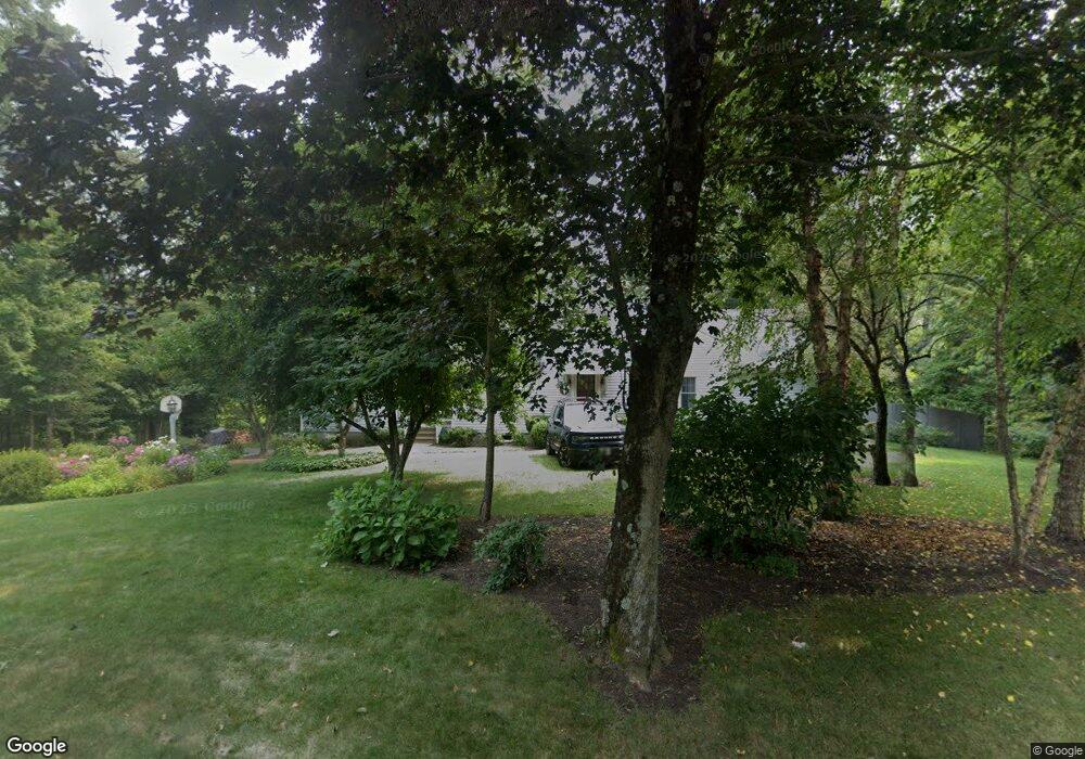
241 Washington St Sherborn, MA 01770
Estimated Value: $912,000 - $1,183,000
4
Beds
3
Baths
2,876
Sq Ft
$362/Sq Ft
Est. Value
About This Home
This home is located at 241 Washington St, Sherborn, MA 01770 and is currently estimated at $1,042,110, approximately $362 per square foot. 241 Washington St is a home located in Middlesex County with nearby schools including Pine Hill Elementary School, Dover-Sherborn Regional Middle School, and Dover-Sherborn Regional High School.
Ownership History
Date
Name
Owned For
Owner Type
Purchase Details
Closed on
Feb 22, 1979
Bought by
Willey Robert E and Willey Maureen M
Current Estimated Value
Create a Home Valuation Report for This Property
The Home Valuation Report is an in-depth analysis detailing your home's value as well as a comparison with similar homes in the area
Home Values in the Area
Average Home Value in this Area
Purchase History
| Date | Buyer | Sale Price | Title Company |
|---|---|---|---|
| Willey Robert E | $55,000 | -- |
Source: Public Records
Mortgage History
| Date | Status | Borrower | Loan Amount |
|---|---|---|---|
| Open | Willey Robert E | $200,000 | |
| Closed | Willey Robert E | $50,000 | |
| Closed | Willey Robert E | $135,000 |
Source: Public Records
Tax History Compared to Growth
Tax History
| Year | Tax Paid | Tax Assessment Tax Assessment Total Assessment is a certain percentage of the fair market value that is determined by local assessors to be the total taxable value of land and additions on the property. | Land | Improvement |
|---|---|---|---|---|
| 2025 | $11,999 | $723,700 | $347,700 | $376,000 |
| 2024 | $10,924 | $644,500 | $277,600 | $366,900 |
| 2023 | $10,786 | $598,900 | $277,600 | $321,300 |
| 2022 | $9,494 | $498,900 | $252,400 | $246,500 |
| 2021 | $1,536 | $494,200 | $252,400 | $241,800 |
| 2020 | $9,012 | $463,100 | $252,400 | $210,700 |
| 2019 | $1,356 | $432,000 | $252,400 | $179,600 |
| 2018 | $1,394 | $432,000 | $252,400 | $179,600 |
| 2017 | $8,157 | $398,700 | $242,300 | $156,400 |
| 2016 | $8,137 | $395,600 | $242,300 | $153,300 |
| 2015 | $7,789 | $383,300 | $227,100 | $156,200 |
| 2014 | $7,040 | $346,100 | $201,900 | $144,200 |
Source: Public Records
Map
Nearby Homes
- 6 Brook St
- 195 High St
- 151 Mohawk Path
- 61 Old Orchard Rd
- 131 Jennings Rd
- 18 Wildwood Dr
- 20 Nason Hill Rd
- 133 Brooksmont Dr Unit 43
- 95 Brooksmont Dr Unit 26
- 56 Roy Ave
- 32 Colonial Way
- 121 Bullard St
- 11 Francine Dr
- 54 Westfield Dr
- 30 Powderhorn Ln
- 2 Surrey Ln
- 160 Winter St
- 59 Turner Rd
- 150 Westfield Dr
- 306 Trailside Way
- 300 Western Ave
- 247 Washington St
- 247 Washington St Unit 247
- 2 Knollcrest Farm Ln
- 237 Washington St
- 6 Southfield Ln Unit 6
- 254 Washington St
- 4 Southfield Ln
- 4 Southfield Ln Unit 4
- 1 Southfield Ln
- 1 Southfield Ln Unit 32
- 1 Southfield Ln Unit 30
- 1 Southfield Ln Unit 1
- 8 Southfield Ln Unit 8
- 7 Southfield Ln Unit 7
- 10 Southfield Ln Unit 10
- Lot 82 Knollcrest Farm Ln
- Lot 81A Knollcrest Farm Ln
- 4 Knollcrest Farm Ln
- 291 Western Ave