2410 Highway 32 Half Way, MO 65663
Estimated Value: $288,000 - $459,000
4
Beds
3
Baths
1,172
Sq Ft
$302/Sq Ft
Est. Value
About This Home
This home is located at 2410 Highway 32, Half Way, MO 65663 and is currently estimated at $353,821, approximately $301 per square foot. 2410 Highway 32 is a home with nearby schools including Halfway Elementary and Halfway High School.
Ownership History
Date
Name
Owned For
Owner Type
Purchase Details
Closed on
Oct 16, 2024
Sold by
Fisher Kali Jo and Mccarthy Jeremy
Bought by
Jk-7 Investments Llc
Current Estimated Value
Purchase Details
Closed on
Jun 17, 2022
Sold by
Hostetler and Mindy
Bought by
Mccarthy Jeremy and Fisher Kali
Purchase Details
Closed on
May 7, 2021
Sold by
Eigsti Mark F and Eigsti Violet F
Bought by
Hostetler Clyde
Home Financials for this Owner
Home Financials are based on the most recent Mortgage that was taken out on this home.
Original Mortgage
$88,000
Interest Rate
3.1%
Mortgage Type
Construction
Create a Home Valuation Report for This Property
The Home Valuation Report is an in-depth analysis detailing your home's value as well as a comparison with similar homes in the area
Home Values in the Area
Average Home Value in this Area
Purchase History
| Date | Buyer | Sale Price | Title Company |
|---|---|---|---|
| Jk-7 Investments Llc | -- | None Listed On Document | |
| Mccarthy Jeremy | -- | None Listed On Document | |
| Hostetler Clyde | $110,000 | -- |
Source: Public Records
Mortgage History
| Date | Status | Borrower | Loan Amount |
|---|---|---|---|
| Previous Owner | Hostetler Clyde | $88,000 |
Source: Public Records
Tax History Compared to Growth
Tax History
| Year | Tax Paid | Tax Assessment Tax Assessment Total Assessment is a certain percentage of the fair market value that is determined by local assessors to be the total taxable value of land and additions on the property. | Land | Improvement |
|---|---|---|---|---|
| 2024 | $10 | $19,480 | $0 | $0 |
| 2023 | $972 | $19,480 | $0 | $0 |
| 2022 | $232 | $4,660 | $0 | $0 |
| 2021 | $232 | $4,660 | $0 | $0 |
| 2020 | $207 | $3,980 | $0 | $0 |
| 2019 | $207 | $3,980 | $0 | $0 |
| 2018 | $151 | $2,870 | $0 | $0 |
| 2017 | $151 | $2,870 | $0 | $0 |
| 2016 | $151 | $2,870 | $0 | $0 |
| 2015 | -- | $2,870 | $0 | $0 |
| 2014 | -- | $2,850 | $0 | $0 |
Source: Public Records
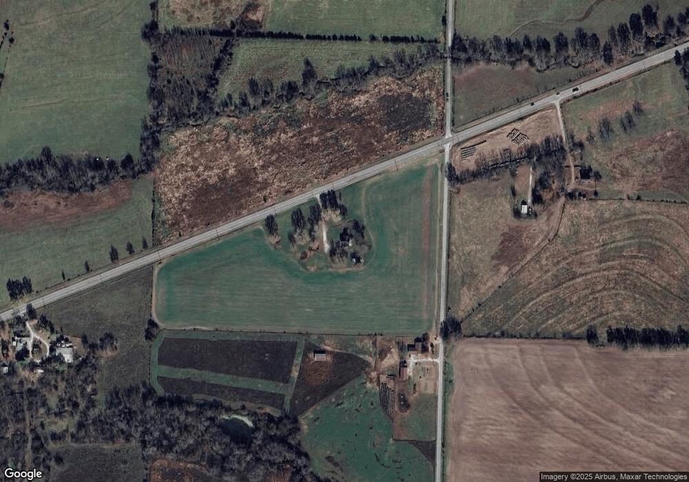
Map
Nearby Homes
- 5487 Boundry Rd
- 258 State Highway 32
- 17 Sherwood Trail
- 345 State Highway 32
- 301 S Aspen St
- 121 S Aspen St
- 103 S Aspen St
- 000 Holly
- 421 Holly Dr
- 1629 W Dallas St
- 1609 W Dallas St
- 1623 W Commercial St
- 1957 E 430th Rd
- 1603 W Lincoln St
- 203 S Elder St
- 1504 W Missouri St Unit 1-4
- 000 S Alberta St
- 000 W Dallas St
- 42 W Commercial St
- 712 Fir St