2410 Old Mocksville Rd Salisbury, NC 28144
Estimated Value: $265,000 - $344,335
--
Bed
2
Baths
1,568
Sq Ft
$199/Sq Ft
Est. Value
About This Home
This home is located at 2410 Old Mocksville Rd, Salisbury, NC 28144 and is currently estimated at $312,584, approximately $199 per square foot. 2410 Old Mocksville Rd is a home located in Rowan County with nearby schools including North Rowan Elementary School, North Rowan Middle School, and North Rowan High School.
Ownership History
Date
Name
Owned For
Owner Type
Purchase Details
Closed on
Jul 25, 2018
Sold by
Trexler Sonny Lewis and Trexler Sarah Elizabeth
Bought by
Trexler Sonny Lewis
Current Estimated Value
Purchase Details
Closed on
Feb 19, 2013
Sold by
Trexler Sonny Lewis and Trexler Sarah Elizabeth
Bought by
Trexler Sonny Lewis and Trexler Sarah Elizabeth
Purchase Details
Closed on
Oct 16, 2012
Sold by
Trexler Sonny Lewis
Bought by
Trexler Sonny Lewis and Trexler Sarah Elizabeth
Create a Home Valuation Report for This Property
The Home Valuation Report is an in-depth analysis detailing your home's value as well as a comparison with similar homes in the area
Home Values in the Area
Average Home Value in this Area
Purchase History
| Date | Buyer | Sale Price | Title Company |
|---|---|---|---|
| Trexler Sonny Lewis | -- | None Available | |
| Trexler Sonny Lewis | -- | None Available | |
| Trexler Sonny Lewis | -- | None Available | |
| Trexler Sonny Lewis | -- | None Available |
Source: Public Records
Tax History Compared to Growth
Tax History
| Year | Tax Paid | Tax Assessment Tax Assessment Total Assessment is a certain percentage of the fair market value that is determined by local assessors to be the total taxable value of land and additions on the property. | Land | Improvement |
|---|---|---|---|---|
| 2025 | $1,764 | $265,248 | $38,260 | $226,988 |
| 2024 | $1,767 | $265,728 | $38,740 | $226,988 |
| 2023 | $1,767 | $265,728 | $38,740 | $226,988 |
| 2022 | $1,554 | $209,353 | $31,410 | $177,943 |
| 2021 | $1,554 | $209,353 | $31,410 | $177,943 |
| 2020 | $1,554 | $209,353 | $31,410 | $177,943 |
| 2019 | $1,554 | $209,353 | $31,410 | $177,943 |
| 2018 | $1,239 | $234,167 | $97,284 | $136,883 |
| 2017 | $1,239 | $234,167 | $97,284 | $136,883 |
| 2016 | $1,239 | $234,167 | $97,284 | $136,883 |
| 2015 | $1,258 | $234,167 | $97,284 | $136,883 |
| 2014 | $1,249 | $240,486 | $97,284 | $143,202 |
Source: Public Records
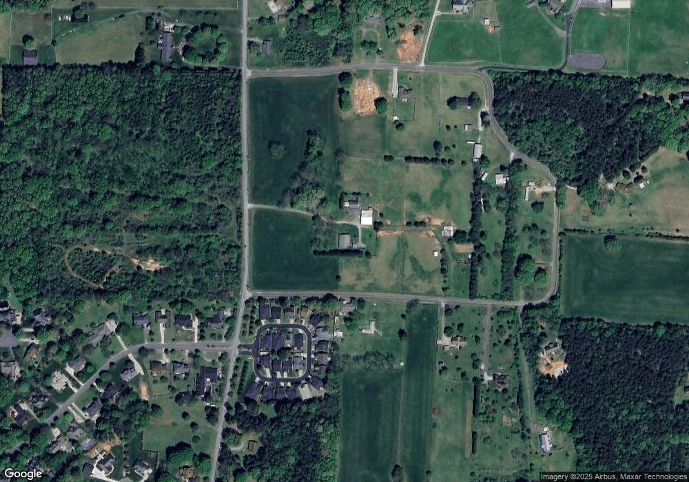
Map
Nearby Homes
- 111 Birkdale Dr
- 1410 Carthage Dr
- 1430 Carthage Dr
- 110 Pantego Place
- 1228 Morehead Dr
- 114 Pantego Place
- 118 Pantego Place
- 1490 Carthage Dr
- 115 Pantego Place
- 111 Pantego Place
- 122 Pantego Place
- 119 Pantego Place
- 126 Pantego Place
- 132 Pantego Place
- 123 Pantego Place
- 1480 Carthage Dr
- 127 Pantego Place
- 1129 Morehead Dr
- 1470 Carthage Dr
- 185 Trexler Loop
- 124 Birkdale Dr
- 120 Birkdale Dr
- 116 Birkdale Dr
- 128 Birkdale Dr
- 112 Birkdale Dr
- 108 Birkdale Dr
- 132 Birkdale Dr
- 119 Birkdale Dr
- 115 Birkdale Dr
- 136 Birkdale Dr
- 107 Birkdale Dr
- 145 Birkdale Dr
- 140 Birkdale Dr
- Lt 51 Carmi Ln
- 157 Birkdale Dr
- 720 Trexler Loop
- 163 Birkdale Dr
- 102 Polo Dr
- 299 Trexler Loop