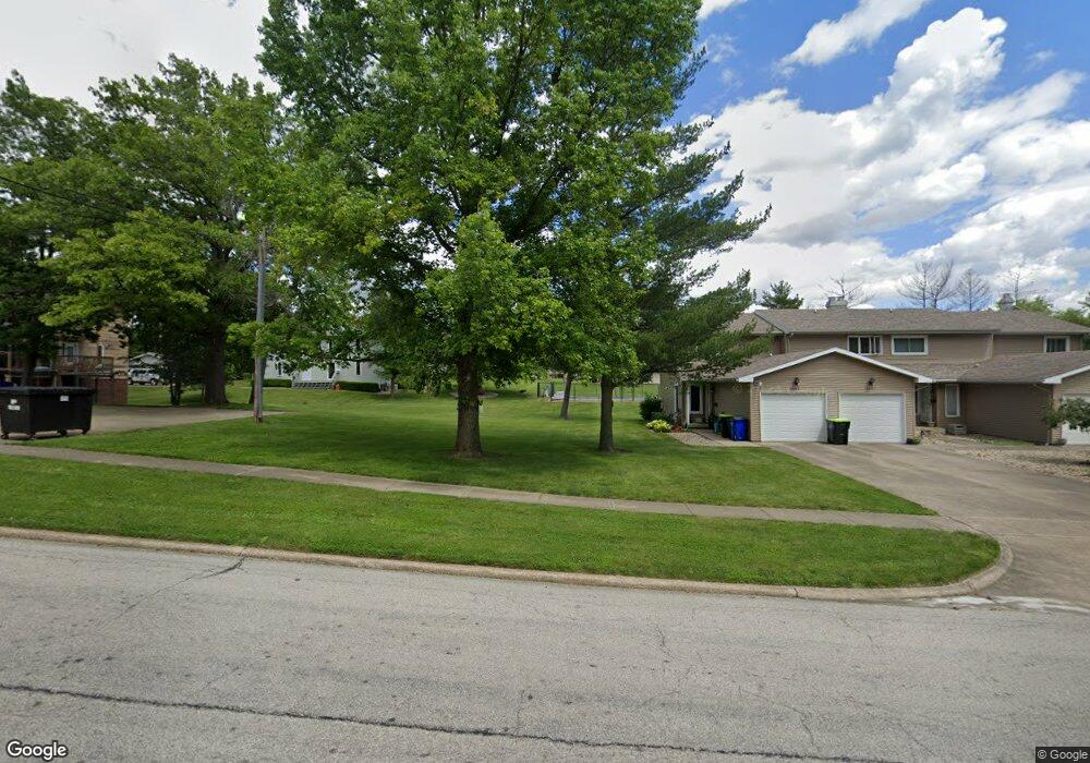
2410 S 34th St Unit 1 Decatur, IL 62521
Greenlake NeighborhoodEstimated Value: $54,183
2
Beds
2
Baths
3,356
Sq Ft
$16/Sq Ft
Est. Value
About This Home
This home is located at 2410 S 34th St Unit 1, Decatur, IL 62521 and is currently priced at $54,183, approximately $16 per square foot. 2410 S 34th St Unit 1 is a home located in Macon County with nearby schools including McGaughey Elementary School, Mt. Zion Elementary School, and Mt. Zion Intermediate School.
Ownership History
Date
Name
Owned For
Owner Type
Purchase Details
Closed on
Jul 27, 2022
Sold by
Vicki Knox
Bought by
R T Structured Investments Llc Series 2
Current Estimated Value
Purchase Details
Closed on
Dec 18, 2019
Sold by
Kowalski Craig and Kowalski Crystal
Bought by
Knox Vicki
Purchase Details
Closed on
Jan 28, 2005
Sold by
Johnson Earl E and Johnson Anita S
Bought by
Kowalski Craig and Kowalski Crystal
Purchase Details
Closed on
Oct 1, 1997
Create a Home Valuation Report for This Property
The Home Valuation Report is an in-depth analysis detailing your home's value as well as a comparison with similar homes in the area
Home Values in the Area
Average Home Value in this Area
Purchase History
| Date | Buyer | Sale Price | Title Company |
|---|---|---|---|
| R T Structured Investments Llc Series 2 | -- | Handegan Nathan D | |
| R T Structured Investments Llc Series 2 | -- | Handegan Nathan D | |
| Knox Vicki | $43,000 | None Available | |
| Kowalski Craig | $42,000 | None Available | |
| -- | $42,000 | -- |
Source: Public Records
Tax History Compared to Growth
Tax History
| Year | Tax Paid | Tax Assessment Tax Assessment Total Assessment is a certain percentage of the fair market value that is determined by local assessors to be the total taxable value of land and additions on the property. | Land | Improvement |
|---|---|---|---|---|
| 2024 | $1,815 | $20,091 | $2,932 | $17,159 |
| 2023 | $1,751 | $18,668 | $2,724 | $15,944 |
| 2022 | $1,669 | $17,553 | $2,562 | $14,991 |
| 2021 | $1,631 | $16,640 | $2,428 | $14,212 |
| 2020 | $1,579 | $15,904 | $2,321 | $13,583 |
| 2019 | $1,579 | $15,904 | $2,321 | $13,583 |
| 2018 | $1,530 | $15,555 | $2,270 | $13,285 |
| 2017 | $1,518 | $15,363 | $2,242 | $13,121 |
| 2016 | $1,519 | $15,354 | $2,241 | $13,113 |
| 2015 | $1,474 | $15,157 | $2,212 | $12,945 |
| 2014 | $1,408 | $15,157 | $2,212 | $12,945 |
| 2013 | $1,414 | $15,157 | $2,212 | $12,945 |
Source: Public Records
Map
Nearby Homes
- 2423 Quail Dr
- 2458 Quail Dr
- 2571 Lansdowne Dr
- 3290 E Fitzgerald Rd
- 2504 S Nantucket Dr
- 3305 Welles St
- 3320 Welles St
- 3210 Fields Ct
- 2663 S 35th St
- 3172 Redlich Dr
- 3146 Lake Bluff Dr
- 3109 E Cherry Dr
- 3552 E Orchard Dr
- 236 Silver Dr
- 3048 E Orchard Dr
- 2116 S Lost Bridge Rd
- 1809 S 32nd St
- 1968 S Baltimore Ave
- 128 Hightide Dr
- 14 Southern Dr
- 2410 S 34th St
- 2410 S 34th St Unit 2
- 2410 S 34th St
- 2410 S 34th St
- 2410 S 34th St Unit 1
- 2410 S 34th St Unit 4
- 2410 S 34th St Unit 3
- 3401 E Fitzgerald Rd Unit 2
- 3401 E Fitzgerald Rd Unit 1
- 2411 S 34th St
- 2440 S 34th St Unit 1
- 2442 S 34th St
- 3341 E Fitzgerald Rd
- 2444 S 34th St
- 2444 S 34th St Unit 3
- 2446 S 34th St
- 2441 S 34th St
- 2448 S 34th St
- 3405 E Fitzgerald Rd
- 2450 S 34th St