Estimated Value: $123,000 - $179,000
3
Beds
1
Bath
1,039
Sq Ft
$150/Sq Ft
Est. Value
About This Home
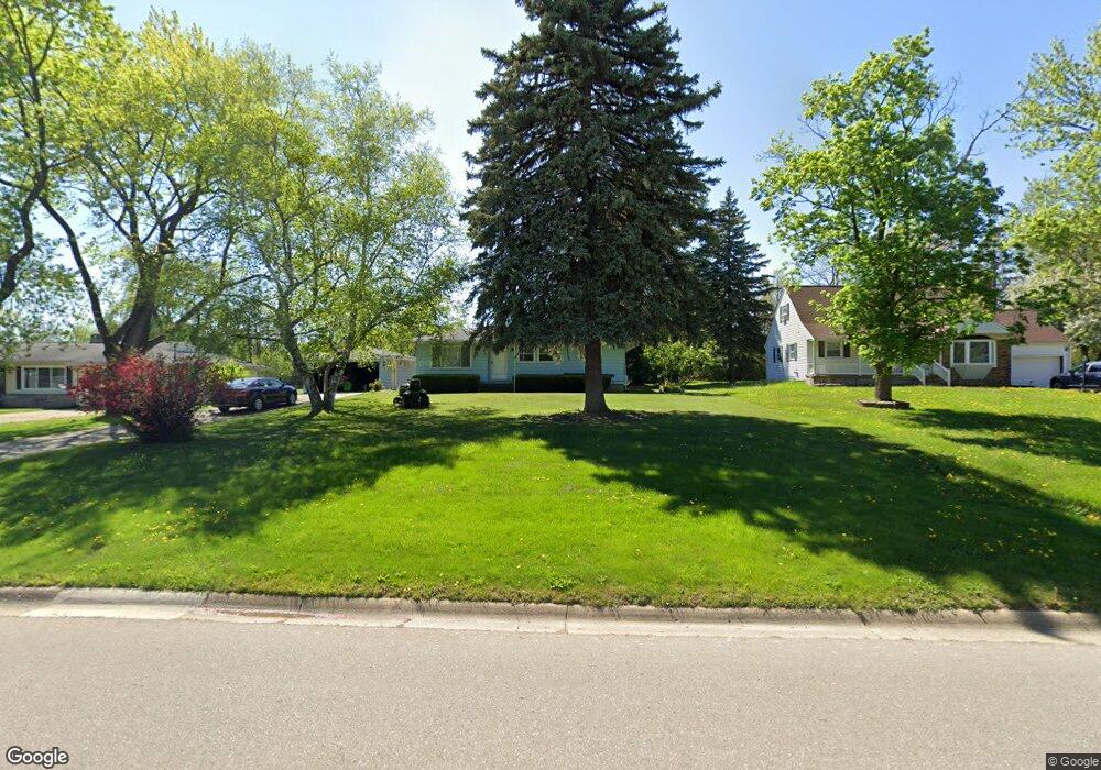
This home is located at 2410 Tandy Dr, Flint, MI 48532 and is currently estimated at $156,240, approximately $150 per square foot. 2410 Tandy Dr is a home located in Genesee County with nearby schools including Carman-Ainsworth High School, St. Paul Lutheran School, and First Flint Seventh-day Adventist Christian School.
Ownership History
Date
Name
Owned For
Owner Type
Purchase Details
Closed on
Jun 23, 2008
Sold by
Trott and Trott P C
Bought by
Ward Kelly A and Ward Martin V
Current Estimated Value
Purchase Details
Closed on
Jul 23, 2007
Sold by
Mortgage Electronic Registration Systems
Bought by
Federal National Mortgage Association
Purchase Details
Closed on
Jun 29, 2007
Sold by
Cunningham Douglas H
Bought by
Mortgage Electronic Registration Systems
Create a Home Valuation Report for This Property
The Home Valuation Report is an in-depth analysis detailing your home's value as well as a comparison with similar homes in the area
Home Values in the Area
Average Home Value in this Area
Purchase History
| Date | Buyer | Sale Price | Title Company |
|---|---|---|---|
| Ward Kelly A | $75,000 | Warranty Title Agency Llc | |
| Federal National Mortgage Association | -- | None Available | |
| Mortgage Electronic Registration Systems | $97,739 | None Available |
Source: Public Records
Tax History
| Year | Tax Paid | Tax Assessment Tax Assessment Total Assessment is a certain percentage of the fair market value that is determined by local assessors to be the total taxable value of land and additions on the property. | Land | Improvement |
|---|---|---|---|---|
| 2025 | $1,662 | $65,700 | $0 | $0 |
| 2024 | $829 | $60,400 | $0 | $0 |
| 2023 | $791 | $52,700 | $0 | $0 |
| 2022 | $748 | $42,800 | $0 | $0 |
| 2021 | $1,467 | $41,200 | $0 | $0 |
| 2020 | $711 | $40,600 | $0 | $0 |
| 2019 | $700 | $40,200 | $0 | $0 |
| 2018 | $1,369 | $36,200 | $0 | $0 |
| 2017 | $1,317 | $36,200 | $0 | $0 |
| 2016 | $1,355 | $32,400 | $0 | $0 |
| 2015 | $1,177 | $30,700 | $0 | $0 |
| 2014 | $698 | $29,400 | $0 | $0 |
| 2012 | -- | $31,100 | $31,100 | $0 |
Source: Public Records
Map
Nearby Homes
- 3088 Curtis Dr
- 4335 Lennon Rd
- 3139 Red Barn Rd
- 18.41 Taft Rd
- 2033 Eberly Rd
- 4490 W Lennon Rd
- 4175 Miller Rd
- 10 Acres T A Mansour Blvd
- VL Clairmont St
- 3277 Whitney Ave
- 2521 White Oak Place
- 1512 Crescent Lane Dr Lot#46
- 1455 S Linden Rd
- 3365 Swartz St
- 3918 Larchmont St
- 4474 Corunna Rd
- 3435 Swartz St
- 4480 Corunna Rd
- 3825 Arlene Ave
- 5151 Brobeck St
Your Personal Tour Guide
Ask me questions while you tour the home.