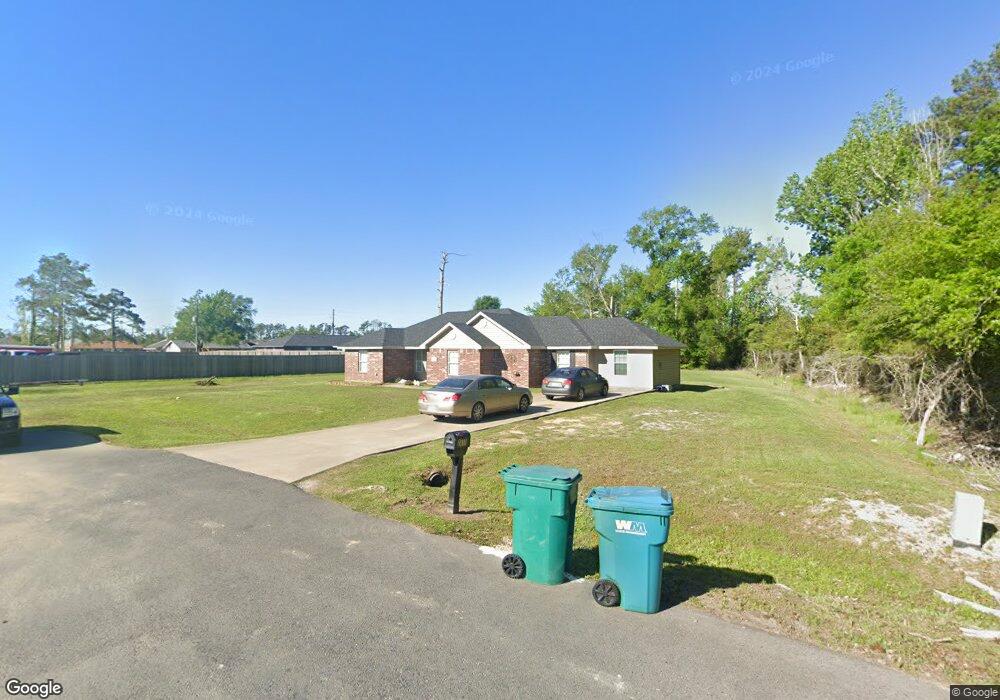
2411 Bertrand Ln Westlake, LA 70669
Estimated Value: $141,000 - $257,237
--
Bed
--
Bath
--
Sq Ft
0.99
Acres
About This Home
This home is located at 2411 Bertrand Ln, Westlake, LA 70669 and is currently estimated at $216,809. 2411 Bertrand Ln is a home located in Calcasieu Parish with nearby schools including Westwood Elementary School, Western Heights Elementary School, and S.P. Arnett Middle School.
Ownership History
Date
Name
Owned For
Owner Type
Purchase Details
Closed on
Jan 14, 2010
Sold by
Wade Michael J and Wade Marcy L
Bought by
Duplechin Krystal D
Current Estimated Value
Home Financials for this Owner
Home Financials are based on the most recent Mortgage that was taken out on this home.
Original Mortgage
$125,000
Outstanding Balance
$88,430
Interest Rate
4.76%
Mortgage Type
Purchase Money Mortgage
Estimated Equity
$128,379
Create a Home Valuation Report for This Property
The Home Valuation Report is an in-depth analysis detailing your home's value as well as a comparison with similar homes in the area
Home Values in the Area
Average Home Value in this Area
Purchase History
| Date | Buyer | Sale Price | Title Company |
|---|---|---|---|
| Duplechin Krystal D | $18,800 | None Available |
Source: Public Records
Mortgage History
| Date | Status | Borrower | Loan Amount |
|---|---|---|---|
| Open | Duplechin Krystal D | $125,000 |
Source: Public Records
Tax History Compared to Growth
Tax History
| Year | Tax Paid | Tax Assessment Tax Assessment Total Assessment is a certain percentage of the fair market value that is determined by local assessors to be the total taxable value of land and additions on the property. | Land | Improvement |
|---|---|---|---|---|
| 2024 | $1,696 | $20,030 | $3,800 | $16,230 |
| 2023 | $1,696 | $20,030 | $3,800 | $16,230 |
| 2022 | $627 | $11,110 | $3,800 | $7,310 |
| 2021 | $348 | $11,110 | $3,800 | $7,310 |
| 2020 | $2,206 | $18,260 | $3,650 | $14,610 |
| 2019 | $2,190 | $17,250 | $1,020 | $16,230 |
| 2018 | $1,338 | $17,250 | $1,020 | $16,230 |
| 2017 | $2,127 | $17,250 | $1,020 | $16,230 |
| 2016 | $1,813 | $17,250 | $1,020 | $16,230 |
| 2015 | $1,813 | $17,250 | $1,020 | $16,230 |
Source: Public Records
Map
Nearby Homes
- 931 John Stine Rd
- 0 John Stine Rd Unit SWL25000871
- 2132 Linda Dr
- 2131 Linda Dr
- 2225 Ellis Dr
- 2203 Ellis Dr
- 1653 Reserve Dr
- 1647 Reserve Dr
- 1733 Myrtle St
- 0 Bobby Jones Way
- 2210 Mccloud St
- 1728 Myrtle St
- 2124 Myrtle Springs Rd
- 1913 Augusta Way
- 0 Augusta Way
- 2215 Pitre St
- 1630 Reserve Dr
- 920 Shady Ln
- 1622 Reserve Dr
- 0 Bee Tree St Unit SWL25000986
- 1204 Katy Dr
- 1204 Katy Ln
- 1208 Katy Dr
- 0 Bertrand Rd
- 1208 Katy Ln
- 1210 Katy Ln
- 2425 Bertrand Ln
- 2312 Ben Franklin Dr
- 1201 Katy Ln
- 2308 Ben Franklin Dr
- 1205 Katy Ln
- 2313 Guillory St
- 1205 Katy Drive St
- 1209 Katy Ln
- 2309 Guillory St
- 1205 John Stine Rd
- 2304 Ben Franklin Dr
- 1216 Katy Ln
- 1213 Katy Ln
- 1213 S Katy Dr