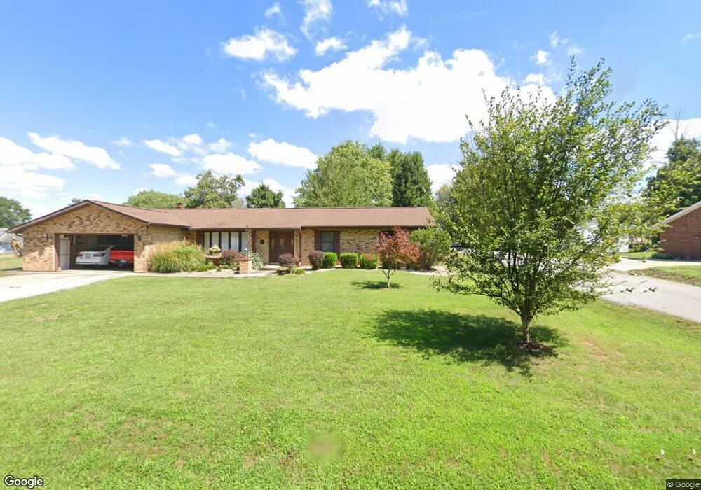
2411 Hillcrest St Harrisburg, IL 62946
Estimated Value: $176,000 - $275,000
--
Bed
--
Bath
--
Sq Ft
0.4
Acres
About This Home
This home is located at 2411 Hillcrest St, Harrisburg, IL 62946 and is currently estimated at $219,235. 2411 Hillcrest St is a home located in Saline County with nearby schools including East Side Intermediate School, Harrisburg Middle School, and Harrisburg High School.
Ownership History
Date
Name
Owned For
Owner Type
Purchase Details
Closed on
Jun 26, 2016
Sold by
Colbert Brian Keith and Colbert Lori Lynn
Bought by
Sumner Michael Nathan and Sumner Emily J
Current Estimated Value
Home Financials for this Owner
Home Financials are based on the most recent Mortgage that was taken out on this home.
Original Mortgage
$161,500
Outstanding Balance
$128,397
Interest Rate
3.62%
Mortgage Type
New Conventional
Estimated Equity
$90,838
Create a Home Valuation Report for This Property
The Home Valuation Report is an in-depth analysis detailing your home's value as well as a comparison with similar homes in the area
Home Values in the Area
Average Home Value in this Area
Purchase History
| Date | Buyer | Sale Price | Title Company |
|---|---|---|---|
| Sumner Michael Nathan | $177,500 | Attorney |
Source: Public Records
Mortgage History
| Date | Status | Borrower | Loan Amount |
|---|---|---|---|
| Open | Sumner Michael Nathan | $161,500 |
Source: Public Records
Tax History Compared to Growth
Tax History
| Year | Tax Paid | Tax Assessment Tax Assessment Total Assessment is a certain percentage of the fair market value that is determined by local assessors to be the total taxable value of land and additions on the property. | Land | Improvement |
|---|---|---|---|---|
| 2024 | $5,563 | $68,140 | $1,940 | $66,200 |
| 2023 | $5,112 | $57,755 | $1,644 | $56,111 |
| 2022 | $5,005 | $54,445 | $1,550 | $52,895 |
| 2021 | $5,198 | $56,127 | $1,598 | $54,529 |
| 2020 | $5,121 | $54,445 | $1,550 | $52,895 |
| 2019 | $5,217 | $54,445 | $1,550 | $52,895 |
| 2018 | $5,273 | $54,445 | $1,550 | $52,895 |
| 2017 | $5,193 | $54,445 | $1,550 | $52,895 |
| 2016 | $51 | $54,445 | $1,550 | $52,895 |
| 2015 | -- | $54,445 | $1,550 | $52,895 |
| 2014 | $2,784 | $54,445 | $1,550 | $52,895 |
| 2013 | $2,784 | $49,885 | $1,550 | $48,335 |
| 2012 | $2,784 | $33,185 | $1,550 | $31,635 |
Source: Public Records
Map
Nearby Homes
- 1120 Dorris Heights Rd
- 111 W Midkiff St
- 204 N Sherman St
- 216 W Poplar St
- 202 W Poplar St
- 430 W Church St
- 504 W South St
- 305 W Church St
- 205 S Shaw St
- 0 Ron Crank Dr Unit EB441387
- 311 W Poplar St
- 210 W Lincoln St
- 827 W Raymond St
- 18 S Mill St
- 405 S Shaw St
- 215 S Jackson St
- 305 W Lincoln St
- 500 W Sloan St
- 206 W Homer Ave
- 520 S Mckinley St
- 2409 Hillcrest St
- 2410 Hillcrest St
- 2415 Hillcrest St
- 2418 Hillcrest St
- 2309 Hillcrest St
- 2400 Hillcrest St
- 2404 Hillcrest St
- 12 Gregg Ln
- 2420 Hillcrest St
- 2301 Hillcrest St
- 2300 Hillcrest St
- 19 Gregg Ln
- 2208 Hillcrest St
- 2209 Hillcrest St
- 2200 Hillcrest St
- 2112 Grape St
- 1025 Pear St
- 1017 Pear St
- 2100 Grape St
- 911 Apple St