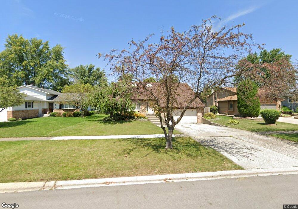
24116 W Joseph Ave Plainfield, IL 60544
North Plainfield NeighborhoodEstimated Value: $326,709 - $403,000
--
Bed
--
Bath
2,352
Sq Ft
$160/Sq Ft
Est. Value
About This Home
This home is located at 24116 W Joseph Ave, Plainfield, IL 60544 and is currently estimated at $375,177, approximately $159 per square foot. 24116 W Joseph Ave is a home located in Will County with nearby schools including Eagle Pointe Elementary School, Richard Ira Jones Middle School, and Plainfield North High School.
Ownership History
Date
Name
Owned For
Owner Type
Purchase Details
Closed on
Jun 4, 2005
Sold by
Bruns Steven and Bruns Julie
Bought by
Bolz William and Bolz Stacy
Current Estimated Value
Purchase Details
Closed on
Sep 28, 2001
Sold by
Vandenlangenberg Richard L and Vandenlangenberg Alice
Bought by
Bolz William L and Hart Stacy R
Home Financials for this Owner
Home Financials are based on the most recent Mortgage that was taken out on this home.
Original Mortgage
$166,410
Interest Rate
10.25%
Mortgage Type
FHA
Create a Home Valuation Report for This Property
The Home Valuation Report is an in-depth analysis detailing your home's value as well as a comparison with similar homes in the area
Home Values in the Area
Average Home Value in this Area
Purchase History
| Date | Buyer | Sale Price | Title Company |
|---|---|---|---|
| Bolz William | -- | -- | |
| Bolz William L | $185,000 | -- |
Source: Public Records
Mortgage History
| Date | Status | Borrower | Loan Amount |
|---|---|---|---|
| Previous Owner | Bolz William L | $166,410 |
Source: Public Records
Tax History Compared to Growth
Tax History
| Year | Tax Paid | Tax Assessment Tax Assessment Total Assessment is a certain percentage of the fair market value that is determined by local assessors to be the total taxable value of land and additions on the property. | Land | Improvement |
|---|---|---|---|---|
| 2024 | $7,526 | $110,091 | $31,929 | $78,162 |
| 2023 | $7,526 | $99,432 | $28,838 | $70,594 |
| 2022 | $6,762 | $89,303 | $25,900 | $63,403 |
| 2021 | $6,145 | $80,639 | $24,206 | $56,433 |
| 2020 | $6,053 | $78,351 | $23,519 | $54,832 |
| 2019 | $5,831 | $74,656 | $22,410 | $52,246 |
| 2018 | $5,436 | $68,713 | $21,055 | $47,658 |
| 2017 | $5,258 | $65,298 | $20,009 | $45,289 |
| 2016 | $5,119 | $62,277 | $19,083 | $43,194 |
| 2015 | $4,761 | $58,339 | $17,876 | $40,463 |
| 2014 | $4,761 | $56,279 | $17,245 | $39,034 |
| 2013 | $4,761 | $56,279 | $17,245 | $39,034 |
Source: Public Records
Map
Nearby Homes
- 13831 S Mallard Dr
- 14010 S Route 59 Unit 1
- 24106 W Pheasant Chase Dr
- 24434 Kennedy Cir
- 13531 Golden Eagle Cir
- 13360 Vicky St
- 24127 Primrose Cir
- 24860 Madison St
- 14612 Paul Revere Ln
- 24850 Michele Dr
- 24331 Norwood Dr
- 24622 George Washington Dr
- 24951 Thornberry Dr
- 24307 Sheffield Ln
- 24164 Norfolk Ln
- 23351 W 135th St
- 14829 Henebry Ln
- 14909 Mccarthy Cir
- 14905 Mccarthy Cir
- 14840 Henebry Ln
- 24112 W Joseph Ave
- 24120 W Joseph Ave
- 24124 W Joseph Ave
- 24108 W Joseph Ave
- 24128 W Joseph Ave
- 24117 W Joseph Ave
- 24113 W Joseph Ave
- 24121 W Joseph Ave
- 24109 W Joseph Ave
- 24104 W Joseph Ave
- 13826 S Teal Ct
- 24109 W Joseph Ave
- 13822 S Teal Ct
- 24125 W Joseph Ave
- 24105 W Joseph Ave
- 24118 W Hillcrest Dr
- 24114 W Hillcrest Dr
- 24122 W Hillcrest Dr
- Lot 10 Joseph Ave
- 24110 W Hillcrest Dr