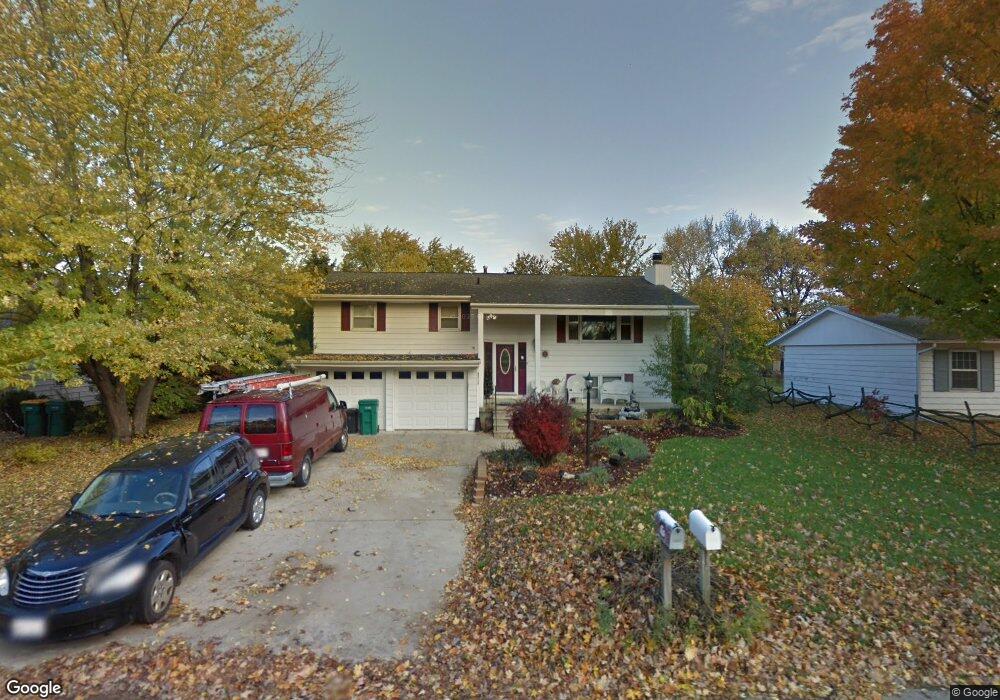
24118 W Hillcrest Dr Plainfield, IL 60544
North Plainfield NeighborhoodEstimated Value: $277,000 - $354,000
3
Beds
2
Baths
2,144
Sq Ft
$146/Sq Ft
Est. Value
About This Home
This home is located at 24118 W Hillcrest Dr, Plainfield, IL 60544 and is currently estimated at $313,646, approximately $146 per square foot. 24118 W Hillcrest Dr is a home located in Will County with nearby schools including Eagle Pointe Elementary School, Richard Ira Jones Middle School, and Plainfield North High School.
Ownership History
Date
Name
Owned For
Owner Type
Purchase Details
Closed on
Feb 1, 2005
Sold by
Czyz Ricky M and Czyz Anne
Bought by
Shilkaitis Eugene and Gabehart Marie
Current Estimated Value
Home Financials for this Owner
Home Financials are based on the most recent Mortgage that was taken out on this home.
Original Mortgage
$89,000
Outstanding Balance
$45,386
Interest Rate
5.8%
Mortgage Type
Purchase Money Mortgage
Estimated Equity
$268,260
Create a Home Valuation Report for This Property
The Home Valuation Report is an in-depth analysis detailing your home's value as well as a comparison with similar homes in the area
Home Values in the Area
Average Home Value in this Area
Purchase History
| Date | Buyer | Sale Price | Title Company |
|---|---|---|---|
| Shilkaitis Eugene | $156,000 | Ticor Title |
Source: Public Records
Mortgage History
| Date | Status | Borrower | Loan Amount |
|---|---|---|---|
| Open | Shilkaitis Eugene | $89,000 |
Source: Public Records
Tax History Compared to Growth
Tax History
| Year | Tax Paid | Tax Assessment Tax Assessment Total Assessment is a certain percentage of the fair market value that is determined by local assessors to be the total taxable value of land and additions on the property. | Land | Improvement |
|---|---|---|---|---|
| 2024 | $6,111 | $98,890 | $22,410 | $76,480 |
| 2023 | $6,111 | $89,315 | $20,240 | $69,075 |
| 2022 | $6,393 | $84,036 | $19,044 | $64,992 |
| 2021 | $5,972 | $78,538 | $17,798 | $60,740 |
| 2020 | $5,882 | $76,310 | $17,293 | $59,017 |
| 2019 | $5,666 | $72,710 | $16,477 | $56,233 |
| 2018 | $5,402 | $68,315 | $15,481 | $52,834 |
| 2017 | $5,225 | $64,920 | $14,712 | $50,208 |
| 2016 | $5,086 | $61,917 | $14,031 | $47,886 |
| 2015 | $4,731 | $58,002 | $13,144 | $44,858 |
| 2014 | $4,731 | $55,954 | $12,680 | $43,274 |
| 2013 | $4,731 | $55,954 | $12,680 | $43,274 |
Source: Public Records
Map
Nearby Homes
- 24112 W Joseph Ave
- 13516 Vicarage Dr Unit 2
- 13360 Vicky St
- 24331 Norwood Dr
- 24933 Jordan Ln
- 14864 S Henebry Ln
- 14848 S Henebry Ln
- 14809 S Henebry Ln
- 14913 S Mccarthy Cir
- 14852 S Henebry Ln
- 14856 S Henebry Ln
- 15009 S Darr Dr
- 14833 S Henebry Ln
- 14825 S Henebry Ln
- 14913 S Dyer Ln
- 25500 W Alabaster Cir
- 14853 S Henebry Ln
- 14814 S Penn Rd
- 14945 S Mccarthy Cir
- 14949 S Darr Dr
- 24114 W Hillcrest Dr
- 24122 W Hillcrest Dr
- 24117 W Joseph Ave
- 24113 W Joseph Ave
- 24121 W Joseph Ave
- 24110 W Hillcrest Dr
- 24117 W Hillcrest Dr
- 24126 W Hillcrest Dr
- 24121 W Hillcrest Dr
- 24113 W Hillcrest Dr
- 24109 W Joseph Ave
- 24125 W Joseph Ave
- 24109 W Joseph Ave
- 24106 W Hillcrest Dr
- 24109 W Hillcrest Dr
- 24125 W Hillcrest Dr
- 24105 W Joseph Ave
- 2304 N Marybrook Dr
- 24129 W Hillcrest Dr
- 24118 W Park Ln