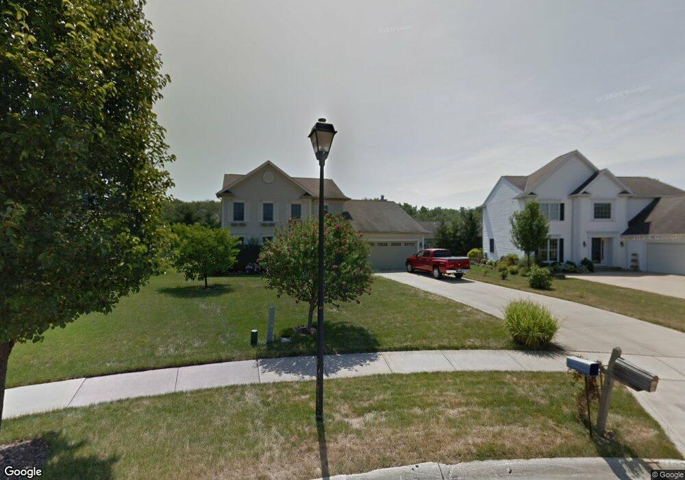
24123 Wilderness Trail Olmsted Falls, OH 44138
Estimated Value: $383,101 - $438,000
4
Beds
3
Baths
2,220
Sq Ft
$183/Sq Ft
Est. Value
About This Home
This home is located at 24123 Wilderness Trail, Olmsted Falls, OH 44138 and is currently estimated at $407,275, approximately $183 per square foot. 24123 Wilderness Trail is a home located in Cuyahoga County with nearby schools including Falls-Lenox Primary Elementary School, Olmsted Falls Intermediate Building, and Olmsted Falls Middle School.
Ownership History
Date
Name
Owned For
Owner Type
Purchase Details
Closed on
Oct 20, 1997
Sold by
Bridlewood Homes Inc
Bought by
Richter James L and Richter Linda A
Current Estimated Value
Home Financials for this Owner
Home Financials are based on the most recent Mortgage that was taken out on this home.
Original Mortgage
$178,500
Outstanding Balance
$24,367
Interest Rate
5.7%
Mortgage Type
New Conventional
Estimated Equity
$382,908
Create a Home Valuation Report for This Property
The Home Valuation Report is an in-depth analysis detailing your home's value as well as a comparison with similar homes in the area
Home Values in the Area
Average Home Value in this Area
Purchase History
| Date | Buyer | Sale Price | Title Company |
|---|---|---|---|
| Richter James L | $210,000 | -- |
Source: Public Records
Mortgage History
| Date | Status | Borrower | Loan Amount |
|---|---|---|---|
| Open | Richter James L | $178,500 |
Source: Public Records
Tax History Compared to Growth
Tax History
| Year | Tax Paid | Tax Assessment Tax Assessment Total Assessment is a certain percentage of the fair market value that is determined by local assessors to be the total taxable value of land and additions on the property. | Land | Improvement |
|---|---|---|---|---|
| 2024 | $7,068 | $119,525 | $23,905 | $95,620 |
| 2023 | $6,298 | $89,120 | $20,830 | $68,290 |
| 2022 | $6,284 | $89,110 | $20,830 | $68,290 |
| 2021 | $6,222 | $89,110 | $20,830 | $68,290 |
| 2020 | $6,229 | $80,290 | $18,760 | $61,530 |
| 2019 | $5,528 | $229,400 | $53,600 | $175,800 |
| 2018 | $5,644 | $80,290 | $18,760 | $61,530 |
| 2017 | $5,727 | $77,430 | $15,230 | $62,200 |
| 2016 | $5,700 | $77,430 | $15,230 | $62,200 |
| 2015 | $5,482 | $77,430 | $15,230 | $62,200 |
| 2014 | $5,482 | $73,050 | $14,350 | $58,700 |
Source: Public Records
Map
Nearby Homes
- 8757 Roberts Ct Unit 25C
- 396 Crossbrook Dr
- Anderson Plan at Smokestack Trails
- Bramante Ranch Plan at Smokestack Trails
- Hudson Plan at Smokestack Trails
- Columbia Plan at Smokestack Trails
- Lehigh Plan at Smokestack Trails
- 8241 Lewis Rd
- 549 Wyleswood Dr
- 543 Wyleswood Dr
- 537 Wyleswood Dr
- 23514 Grist Mill Ct Unit 4
- 0
- Caroline Plan at Falls Landing - Villas
- Wexford Plan at Falls Landing - Villas
- Rosecliff Plan at Falls Landing - Villas
- 23390 Wainwright Terrace
- 136 River Rock Way Unit D
- 100 River Rock Way
- 412 Wyleswood Dr
- 24185 Wilderness Trail
- 24111 Wilderness Trail
- 8824 Morgans Run Unit 4A
- 8822 Morgans Run Unit 4B
- 8820 Morgans Run Unit C4
- 8844 Morgans Run Unit 5B
- 8842 Morgans Run Unit 5C
- 8846 Morgans Run Unit 5A
- 24227 Wilderness Trail
- 24118 Wilderness Trail
- 8864 Morgans Run Unit 6B
- 8860 Morgans Run Unit 6C
- 8866 Morgans Run Unit 6A
- 24130 Wilderness Trail
- 24299 Wilderness Trail
- 8889 Morgans Run Unit 12C
- 8885 Morgans Run Unit 12A
- 8887 Morgans Run Unit 12B
- 24240 Wilderness Trail
- 8782 Morgans Run