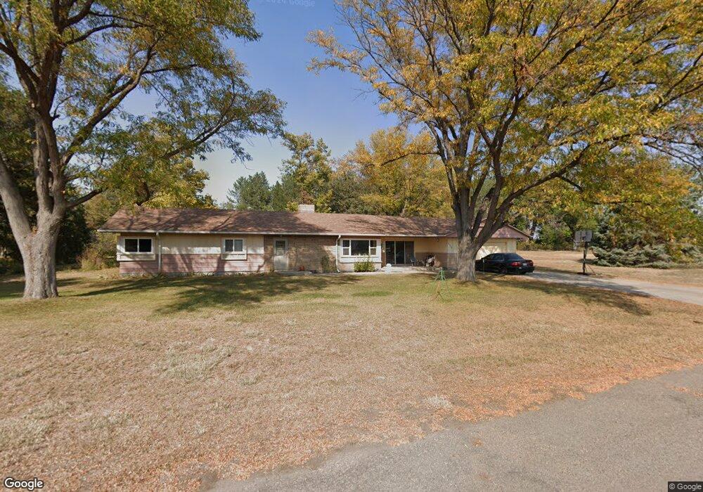
2413 Hilltop Dr Scottsbluff, NE 69361
Estimated Value: $222,000 - $259,752
3
Beds
1
Bath
1,540
Sq Ft
$153/Sq Ft
Est. Value
About This Home
This home is located at 2413 Hilltop Dr, Scottsbluff, NE 69361 and is currently estimated at $235,938, approximately $153 per square foot. 2413 Hilltop Dr is a home with nearby schools including Lincoln Heights Elementary School, Bluffs Middle School, and Scottsbluff Senior High School.
Ownership History
Date
Name
Owned For
Owner Type
Purchase Details
Closed on
Jul 8, 2025
Sold by
Ruffing Tab S and Ruffing Catherine L
Bought by
B-L-T Corporation
Current Estimated Value
Purchase Details
Closed on
Jul 12, 2016
Sold by
Petty Dewey K
Bought by
Ruffing Tab S and Ruffing Catherine L
Purchase Details
Closed on
Nov 3, 2014
Sold by
Landry Gloria K
Bought by
Landry Gloria K and Landry Dewey K
Create a Home Valuation Report for This Property
The Home Valuation Report is an in-depth analysis detailing your home's value as well as a comparison with similar homes in the area
Home Values in the Area
Average Home Value in this Area
Purchase History
| Date | Buyer | Sale Price | Title Company |
|---|---|---|---|
| B-L-T Corporation | -- | None Listed On Document | |
| Ruffing Tab S | $128,000 | Ferguson Title Services | |
| Landry Gloria K | $104,000 | None Available |
Source: Public Records
Tax History Compared to Growth
Tax History
| Year | Tax Paid | Tax Assessment Tax Assessment Total Assessment is a certain percentage of the fair market value that is determined by local assessors to be the total taxable value of land and additions on the property. | Land | Improvement |
|---|---|---|---|---|
| 2025 | $1,849 | $173,360 | $59,525 | $113,835 |
| 2024 | $1,948 | $173,360 | $59,525 | $113,835 |
| 2023 | $2,265 | $122,477 | $32,131 | $90,346 |
| 2022 | $2,265 | $122,477 | $32,131 | $90,346 |
| 2021 | $2,221 | $118,175 | $32,131 | $86,044 |
| 2020 | $2,101 | $111,070 | $32,131 | $78,939 |
| 2019 | $2,098 | $111,069 | $32,130 | $78,939 |
| 2018 | $2,112 | $111,069 | $32,130 | $78,939 |
| 2017 | $2,121 | $111,121 | $32,182 | $78,939 |
| 2016 | $1,974 | $103,280 | $24,341 | $78,939 |
| 2015 | $82 | $103,280 | $24,341 | $78,939 |
| 2014 | $94 | $100,244 | $24,341 | $75,903 |
| 2012 | -- | $100,244 | $24,341 | $75,903 |
Source: Public Records
Map
Nearby Homes
- 2317 Kingsgate Rd
- 2517 Country Ln
- 4318 Shady Ln
- 4301 Shady Ln
- 2817 W 42nd St
- 1126 Peacock Dr
- 597 Sagebrush Dr
- 501 W 38th St
- TBD W 36th St
- 0 W 36th St Unit 20254154
- 1010 W 29th St
- 10 Stoney Creek Dr
- 1011 W 27th St
- 409 Sandra Ct
- 3021 Avenue E
- 3415 Ross Ave
- 2809 Avenue D
- Lot 1 31st St
- TBD U S Highway 26
- Lot 2 31st St
- 2501 Hilltop Dr
- 4921 Avenue Z
- 2417 Kingsgate Rd
- 2317 Hilltop Dr
- 2513 Hilltop Dr
- 2401 Kingsgate Rd
- 2314 Hilltop Dr
- 2501 Kingsgate Rd
- 4909 Avenue Z
- 4020 Hilltop Dr
- 2517 Kingsgate Rd
- 2309 Hilltop Dr
- 2410 Kingsgate Rd
- 2414 Kingsgate Rd
- 2502 Kingsgate Rd
- 2311 Kingsgate Rd
- 2402 Kingsgate Rd
- 2318 Kingsgate Rd
- 2514 Kingsgate Rd
- 4929 Avenue Z