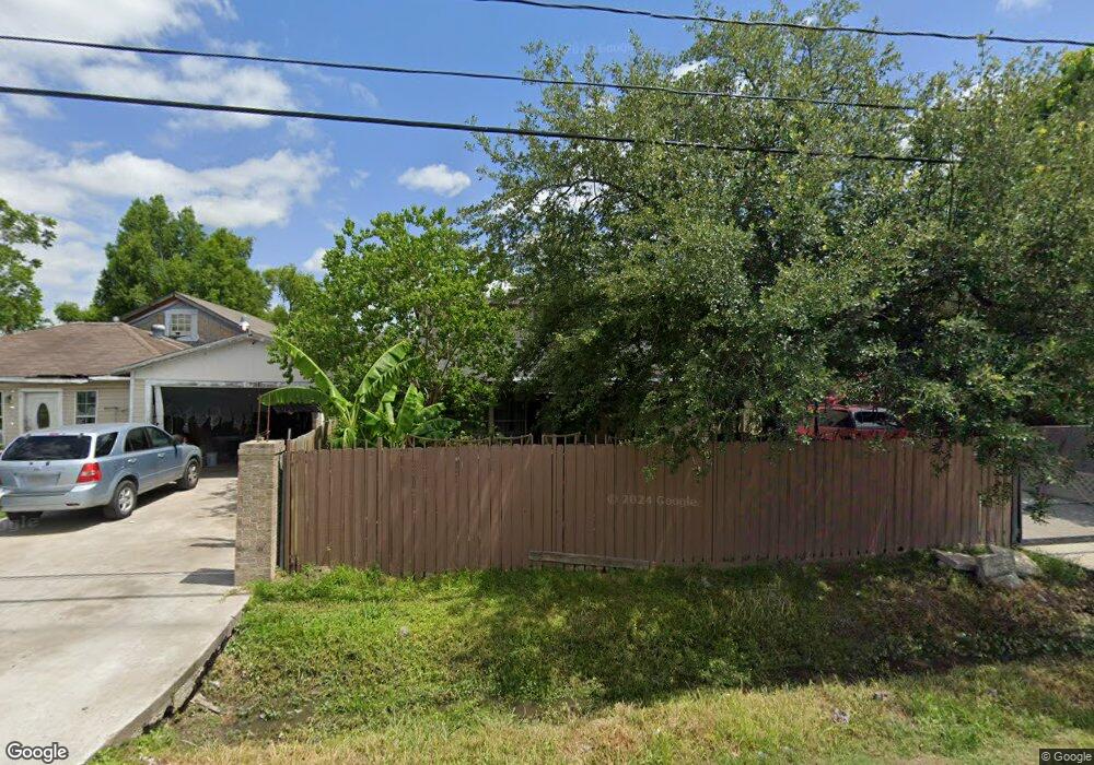
2413 Kowis St Houston, TX 77093
East Aldine NeighborhoodEstimated Value: $195,573 - $230,000
4
Beds
2
Baths
1,440
Sq Ft
$147/Sq Ft
Est. Value
About This Home
This home is located at 2413 Kowis St, Houston, TX 77093 and is currently estimated at $212,393, approximately $147 per square foot. 2413 Kowis St is a home located in Harris County with nearby schools including Scarborough Elementary School, Patrick Henry Middle School, and Sam Houston Math, Science & Technology Center.
Ownership History
Date
Name
Owned For
Owner Type
Purchase Details
Closed on
Jan 7, 2005
Sold by
Espinoza Alma Delia and Martinez Alma
Bought by
Medrano Maria M
Current Estimated Value
Home Financials for this Owner
Home Financials are based on the most recent Mortgage that was taken out on this home.
Original Mortgage
$50,000
Outstanding Balance
$25,228
Interest Rate
5.74%
Mortgage Type
New Conventional
Estimated Equity
$187,165
Purchase Details
Closed on
Jan 24, 2002
Sold by
Amaya Fermin and Martinez Reynaldo
Bought by
Espinoza Alma Delia
Create a Home Valuation Report for This Property
The Home Valuation Report is an in-depth analysis detailing your home's value as well as a comparison with similar homes in the area
Home Values in the Area
Average Home Value in this Area
Purchase History
| Date | Buyer | Sale Price | Title Company |
|---|---|---|---|
| Medrano Maria M | -- | Alamo Title Company | |
| Espinoza Alma Delia | -- | -- |
Source: Public Records
Mortgage History
| Date | Status | Borrower | Loan Amount |
|---|---|---|---|
| Open | Medrano Maria M | $50,000 | |
| Closed | Medrano Maria M | $12,500 |
Source: Public Records
Tax History Compared to Growth
Tax History
| Year | Tax Paid | Tax Assessment Tax Assessment Total Assessment is a certain percentage of the fair market value that is determined by local assessors to be the total taxable value of land and additions on the property. | Land | Improvement |
|---|---|---|---|---|
| 2025 | $2,602 | $148,049 | $63,090 | $84,959 |
| 2024 | $2,602 | $148,049 | $63,090 | $84,959 |
| 2023 | $2,602 | $148,049 | $63,090 | $84,959 |
| 2022 | $2,143 | $115,252 | $43,813 | $71,439 |
| 2021 | $1,979 | $100,265 | $43,813 | $56,452 |
| 2020 | $1,783 | $86,820 | $33,999 | $52,821 |
| 2019 | $2,124 | $99,146 | $33,999 | $65,147 |
| 2018 | $1,280 | $59,731 | $30,844 | $28,887 |
| 2017 | $1,280 | $59,731 | $30,844 | $28,887 |
| 2016 | $1,280 | $59,731 | $30,844 | $28,887 |
| 2015 | $1,341 | $62,654 | $19,278 | $43,376 |
| 2014 | $1,341 | $62,654 | $19,278 | $43,376 |
Source: Public Records
Map
Nearby Homes
- 2629 Kowis St
- 2152 William Tell St
- 2237 Cromwell St
- 2636 Lone Oak Rd
- 2122 Kowis St
- 2311 Warwick Rd
- 2817 Cromwell St
- 2131 Cromwell St Unit D
- 2306 Wardmont St
- 2326 Sunny Dr
- 2131 Warwick Rd
- 2123 Warwick Rd
- 1728 Little York Rd
- 1930 Cromwell St
- 2315 Langley Rd
- 1908 Little York Rd
- 11746 Somerset Ln
- 11716 Innsbury Dr
- 1925 Sunny Dr
- 1904 Little York Rd
- 2409 Kowis St
- 2417 Kowis St
- 2405 Kowis St
- 2414 William Tell St
- 2410 William Tell St
- 2427 Kowis St
- 2401 Kowis St
- 2422 William Tell St
- 2402 William Tell St
- 2418 Kowis St
- 2410 Kowis St
- 2406 Kowis St
- 2426 Kowis St
- 2402 Kowis St
- 2435 Kowis St
- 2325 Kowis St
- 2430 William Tell St
- 2407 William Tell St
- 2407 William Tell St
- 0 Kowis