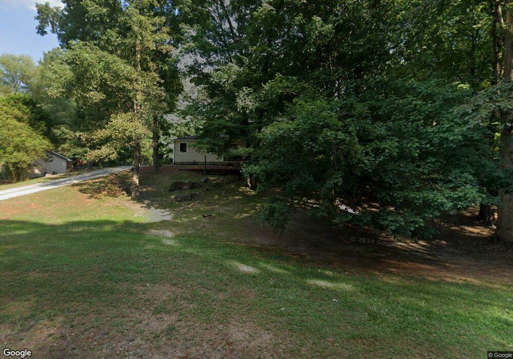
2414 Amberbrook Dr SW Conyers, GA 30094
Estimated Value: $305,000 - $379,000
4
Beds
4
Baths
2,800
Sq Ft
$122/Sq Ft
Est. Value
About This Home
This home is located at 2414 Amberbrook Dr SW, Conyers, GA 30094 and is currently estimated at $341,860, approximately $122 per square foot. 2414 Amberbrook Dr SW is a home located in Rockdale County with nearby schools including Shoal Creek Elementary School, Edwards Middle School, and Heritage High School.
Ownership History
Date
Name
Owned For
Owner Type
Purchase Details
Closed on
Jun 27, 1996
Sold by
Ingram Bobby Viola
Bought by
Melson Jerry Gerry
Current Estimated Value
Create a Home Valuation Report for This Property
The Home Valuation Report is an in-depth analysis detailing your home's value as well as a comparison with similar homes in the area
Home Values in the Area
Average Home Value in this Area
Purchase History
| Date | Buyer | Sale Price | Title Company |
|---|---|---|---|
| Melson Jerry Gerry | $110,000 | -- |
Source: Public Records
Mortgage History
| Date | Status | Borrower | Loan Amount |
|---|---|---|---|
| Closed | Melson Jerry Gerry | $0 |
Source: Public Records
Tax History Compared to Growth
Tax History
| Year | Tax Paid | Tax Assessment Tax Assessment Total Assessment is a certain percentage of the fair market value that is determined by local assessors to be the total taxable value of land and additions on the property. | Land | Improvement |
|---|---|---|---|---|
| 2024 | $3,336 | $136,240 | $20,040 | $116,200 |
| 2023 | $2,962 | $125,920 | $22,400 | $103,520 |
| 2022 | $2,344 | $101,880 | $15,360 | $86,520 |
| 2021 | $1,995 | $83,280 | $11,120 | $72,160 |
| 2020 | $1,804 | $75,120 | $11,120 | $64,000 |
| 2019 | $1,722 | $71,000 | $7,000 | $64,000 |
| 2018 | $1,734 | $71,000 | $7,000 | $64,000 |
| 2017 | $1,417 | $60,160 | $7,000 | $53,160 |
| 2016 | $1,308 | $60,160 | $7,000 | $53,160 |
| 2015 | $1,103 | $53,000 | $5,520 | $47,480 |
| 2014 | $777 | $44,880 | $4,520 | $40,360 |
| 2013 | -- | $61,480 | $9,200 | $52,280 |
Source: Public Records
Map
Nearby Homes
- 2477 Laurel Ridge Place SW
- 2505 Laurel Ridge Place SW
- 2289 Amberbrook Dr SW
- 1993 Old Smyrna Rd SW
- 2055 Smyrna Rd SW
- 1509 Shoal Creek Dr SW
- 2956 Loch Lomond Dr
- 2856 Flat Shoals Rd SW
- 2900 Waterford Dr SW
- 2150 Smyrna Ridge Ct SW
- 2318 Hedgeview Rd
- 1700 Carissa Dr
- 2989 Waterford Dr SW
- 3009 Inverness Ct
- 3055 SW Reserve Ct
- 3059 SW Reserve Ct
- 1221 Rhodes Walk SW
- 0 Granade Rd SW Unit 10430605
- 0 Granade Rd SW Unit 10430608
- 2400 Amberbrook Dr SW
- 2382 Shadowood Dr SW
- 2380 Shadowood Dr SW
- 2411 Amberbrook Dr SW
- 2430 Amberbrook Dr SW
- 2430 Amberbrook Dr SW
- 2430 Amberbrook Dr SW Unit Acres
- 2429 Amberbrook Dr SW
- 2378 Shadowood Dr SW
- 2397 Amberbrook Dr SW
- 2380 Amberbrookdr
- 2380 Amberbrook Dr SW
- 2385 Amberbrook Dr SW
- 2386 Shadowood Dr SW
- 2376 Shadowood Dr SW
- 2381 Shadowood Dr SW
- 2410 Overlook Dr SW
- 2455 Rolling Acres Dr SW
- 2459 Rolling Acres Dr SW
- 2400 Overlook Dr SW