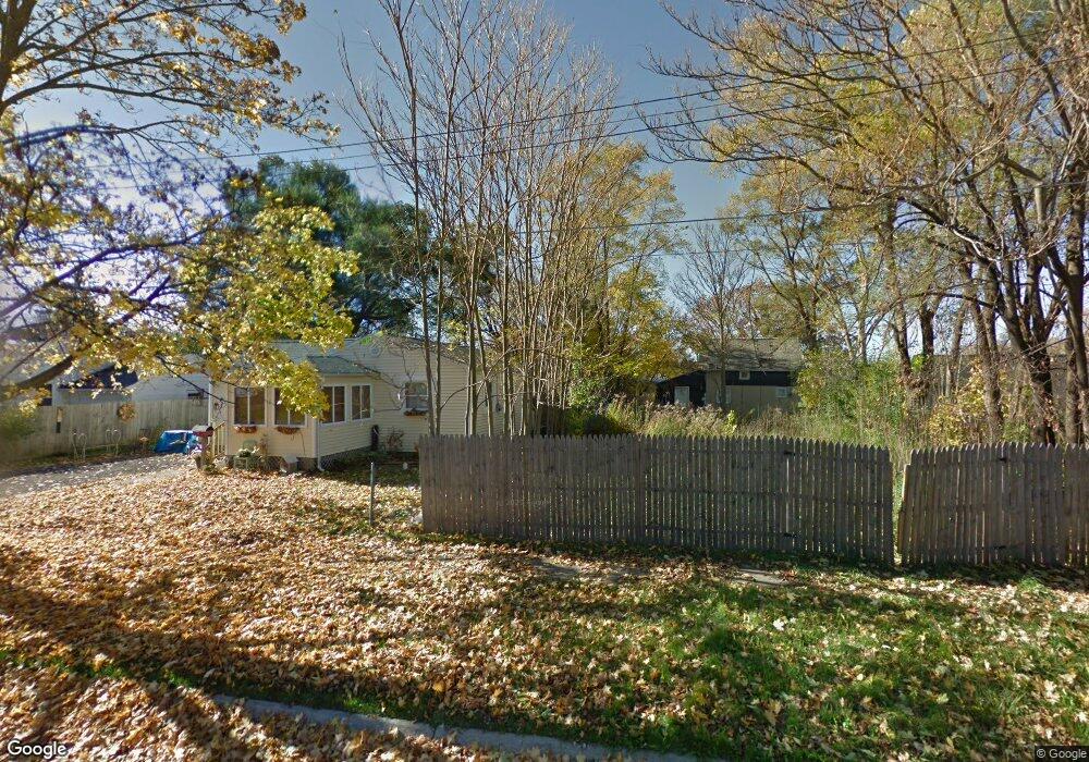
2414 Davison Rd Flint, MI 48506
Eastside NeighborhoodEstimated Value: $28,000 - $40,000
2
Beds
1
Bath
588
Sq Ft
$58/Sq Ft
Est. Value
About This Home
This home is located at 2414 Davison Rd, Flint, MI 48506 and is currently estimated at $34,000, approximately $57 per square foot. 2414 Davison Rd is a home located in Genesee County with nearby schools including Potter School, Flint Cultural Center Academy, and WAY Academy of Flint.
Ownership History
Date
Name
Owned For
Owner Type
Purchase Details
Closed on
Dec 17, 2015
Sold by
Genesee County
Bought by
Genesee County Land Bank
Current Estimated Value
Purchase Details
Closed on
Oct 10, 2011
Sold by
Cherry Deborah L
Bought by
Heavelyn Delights Inc
Purchase Details
Closed on
Apr 6, 2001
Sold by
Jablonski Erney B and Jablonski Margaret
Bought by
Stokes Timothy R and Stokes Tonya C
Home Financials for this Owner
Home Financials are based on the most recent Mortgage that was taken out on this home.
Original Mortgage
$43,127
Interest Rate
8.37%
Mortgage Type
Seller Take Back
Create a Home Valuation Report for This Property
The Home Valuation Report is an in-depth analysis detailing your home's value as well as a comparison with similar homes in the area
Home Values in the Area
Average Home Value in this Area
Purchase History
| Date | Buyer | Sale Price | Title Company |
|---|---|---|---|
| Genesee County Land Bank | -- | None Available | |
| Heavelyn Delights Inc | $2,100 | None Available | |
| Stokes Timothy R | $48,127 | -- |
Source: Public Records
Mortgage History
| Date | Status | Borrower | Loan Amount |
|---|---|---|---|
| Previous Owner | Stokes Timothy R | $43,127 |
Source: Public Records
Tax History Compared to Growth
Tax History
| Year | Tax Paid | Tax Assessment Tax Assessment Total Assessment is a certain percentage of the fair market value that is determined by local assessors to be the total taxable value of land and additions on the property. | Land | Improvement |
|---|---|---|---|---|
| 2025 | -- | $0 | $0 | $0 |
| 2024 | -- | $0 | $0 | $0 |
| 2023 | -- | $0 | $0 | $0 |
| 2022 | $0 | $0 | $0 | $0 |
| 2021 | $0 | $0 | $0 | $0 |
| 2020 | $0 | $0 | $0 | $0 |
| 2019 | $0 | $0 | $0 | $0 |
| 2018 | $0 | $0 | $0 | $0 |
| 2017 | $0 | $0 | $0 | $0 |
| 2016 | $0 | $0 | $0 | $0 |
| 2015 | -- | $0 | $0 | $0 |
| 2014 | -- | $0 | $0 | $0 |
| 2012 | -- | $3,500 | $0 | $0 |
Source: Public Records
Map
Nearby Homes
- 1510 N Vernon Ave
- 1622 Arlington Ave
- 2610 Pennsylvania Ave
- 1501 Arlington Ave
- 2301 Missouri Ave
- 2211 Torrance St
- 2426 Missouri Ave
- 2225 Arlington Ave
- 2605 Nebraska Ave
- 2426 Hoff St
- 1318 Cronk Ave
- 1805 Bennett Ave
- 1814 Mabel Ave
- 2506 Arlington Ave
- 1644 Pennsylvania Ave
- 1605 Kearsley Park Blvd
- 1721 New York Ave
- 301 Chandler St
- 1529 Broadway Blvd
- 3205 Holly Ave
- 2408 Davison Rd
- 1721 Levern St
- 1722 N Lynch St
- 1718 N Lynch St
- 1714 N Lynch St
- 1718 Levern St
- 2419 Illinois Ave
- 2411 Illinois Ave
- 1714 Levern St
- 1706 N Lynch St
- 1710 Levern St
- 1706 Levern St
- 1702 N Lynch St
- 2409 Davison Rd
- 2409 Davison Rd
- 1702 Levern St
- 2413 Davison Rd
- 2505 Davison Rd
- 1717 N Cumberland St
- 2522 Davison Rd