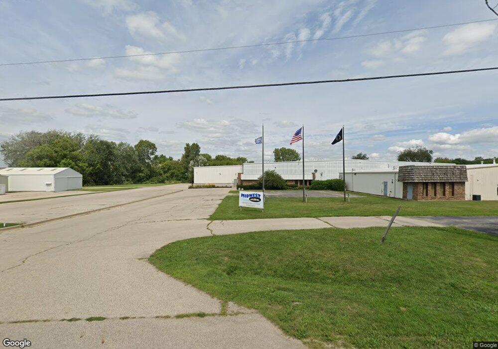
2414 Highview St Spring Grove, IL 60081
Estimated Value: $2,242,635
--
Bed
--
Bath
--
Sq Ft
4.66
Acres
About This Home
This home is located at 2414 Highview St, Spring Grove, IL 60081 and is currently estimated at $2,242,635. 2414 Highview St is a home located in McHenry County with nearby schools including Spring Grove Elementary School, Nippersink Middle School, and Richmond-Burton High School.
Ownership History
Date
Name
Owned For
Owner Type
Purchase Details
Closed on
Oct 26, 2021
Sold by
Drl Llc
Bought by
Mccdry Investments Llc
Current Estimated Value
Home Financials for this Owner
Home Financials are based on the most recent Mortgage that was taken out on this home.
Original Mortgage
$136,000
Outstanding Balance
$124,429
Interest Rate
2.88%
Mortgage Type
Commercial
Estimated Equity
$2,122,325
Purchase Details
Closed on
Mar 14, 2008
Sold by
Chicago Title Land Trust Co
Bought by
Drl Llc
Create a Home Valuation Report for This Property
The Home Valuation Report is an in-depth analysis detailing your home's value as well as a comparison with similar homes in the area
Home Values in the Area
Average Home Value in this Area
Purchase History
| Date | Buyer | Sale Price | Title Company |
|---|---|---|---|
| Mccdry Investments Llc | $1,700,000 | Chicago Title | |
| Drl Llc | -- | Chicago Title Land Trust Co |
Source: Public Records
Mortgage History
| Date | Status | Borrower | Loan Amount |
|---|---|---|---|
| Open | Mccdry Investments Llc | $136,000 |
Source: Public Records
Tax History Compared to Growth
Tax History
| Year | Tax Paid | Tax Assessment Tax Assessment Total Assessment is a certain percentage of the fair market value that is determined by local assessors to be the total taxable value of land and additions on the property. | Land | Improvement |
|---|---|---|---|---|
| 2024 | $29,762 | $389,148 | $65,942 | $323,206 |
| 2023 | $29,093 | $355,744 | $60,282 | $295,462 |
| 2022 | $27,744 | $320,317 | $54,279 | $266,038 |
| 2021 | $28,550 | $307,435 | $52,096 | $255,339 |
| 2020 | $29,855 | $295,810 | $50,126 | $245,684 |
| 2019 | $26,316 | $286,304 | $48,515 | $237,789 |
| 2018 | $28,247 | $274,474 | $46,510 | $227,964 |
| 2017 | $31,633 | $277,234 | $44,291 | $232,943 |
| 2016 | $30,073 | $278,866 | $41,525 | $237,341 |
| 2013 | -- | $398,862 | $39,263 | $359,599 |
Source: Public Records
Map
Nearby Homes
- 2150 U S 12
- 2214 Main Street Rd
- 7416 Briar Ct
- 8207 Squirrel Dr
- 7404 Briar Ct
- 2617 Spring Leaf Dr
- 3012 Rolling Oaks Rd
- 2910 Rolling Oaks Rd
- 3006 Rolling Oaks Rd
- 7304 Briar Dr
- 3013 N Us Highway 12
- 1992 Red Oak Ln
- 2003 Red Oak Ln
- LOT 9 Mayo Ct
- 1876 Red Oak Ln
- 7393 English Oak Ln
- 7377 English Oak Ln
- Lot 36 Red Oak Ln
- LOT 40 Red Oak Ln
- 7381 English Oak Ln
- 2440 Highview St Unit E
- 2418 Highview St
- 7800 Winn Rd
- 2500 Westward Dr
- 2509 Highview St
- 2504 Westward Dr
- 2440 Westward Dr Unit B
- 2440 Westward Dr Unit A
- 2440 Westward Dr Unit D
- 7727 Finch St
- 2400 Highview St Unit 3
- 2400 Highview St Unit 1
- 2400 Highview St
- 7908 Winn Rd
- 2510 U S 12
- 2450 U S 12
- 2318 Westward Dr
- 7718 Finch St
- 2405 Westward Dr
- 2450 N US Highway 12 Unit O